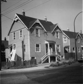
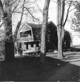
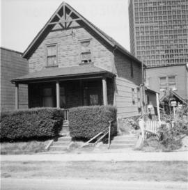
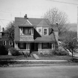
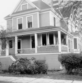
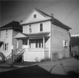
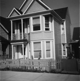
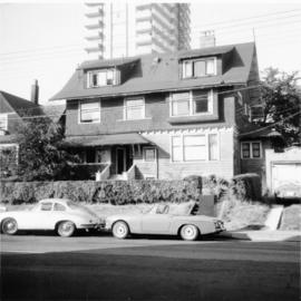
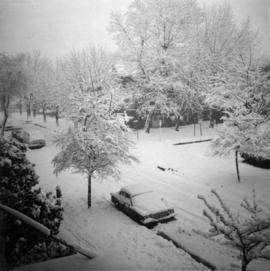
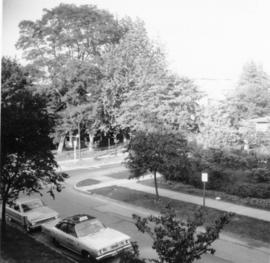
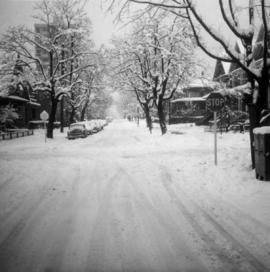
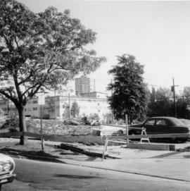
Photograph depicts a house on the southern edge of Chinatown.
Vancouver, BC
675 Archival description results for Vancouver, BC
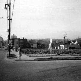
Photograph depicts a house that was probably built in 1890-1900. It had just been demolished.
Photograph depicts one of the few remaining inhabioted and well kept houses that still survived in the very heart of downtown Vancouver.
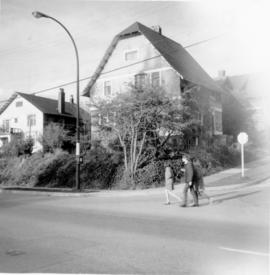
Photograph depicts a house on Nicola St. at the southwest corner of the intersection of Nicola and Robson St., in Vancouver, B.C.
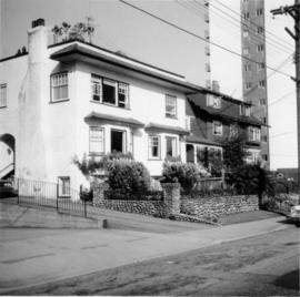
Photograph depicts a well cared for house that was empty and being stripped along with 3 other house on Barclay to make way for a high rise apartment block. Built circa 1905.
Photograph depicts a house on the east side of Ontario Street, Vancouver.
Photograph depicts a house that had just been repainted on the north side of Pender Street.
Photograph depicts a house that provided an example of the few surviving homes left on Beach Ave.
Photograph taken looking northwest at a corner house and another home to its left. They were 2 of 9 houses in this Beach Block, the last block of houses on Beach Ave.
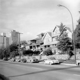
Photograph depicts a few houses on Beach Ave., Vancouve. They were examples of about a dozen surviving homes on Beach Ave.
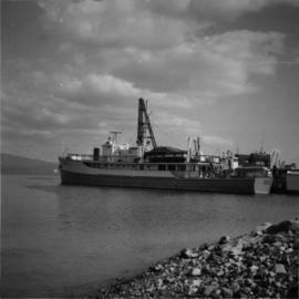
Photograph depicts "H.R. Macmillan," a private yacht.
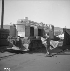
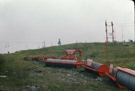
Photograph depicts Hudswell Clarke 0-6-0 diesel shunter locomotive #21, owned and on the premises of Vancouver Wharves Ltd. in North Vancouver. It is having a new transmission installed and receives an annual paint job in sky blue. It has a Gardiner (Manchester) engine. Comes the plate "Samuel Williams & Sons Ltd." (of Dagenham, Essex, U.K.), which is the parent company of the V.W. Ltd.
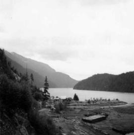
Photograph depicts a view of Indian Arm, looking south from Granite Falls.
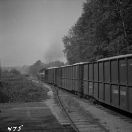
Photograph depicts an interchange freight train making for the Pacific Great Eastern yards. It is just off the Second Narrows Bridge in Vancouver, B.C.
Photograph depicts the intersection at Cordero and Barclay St. in the west end of Vancouver. The view is looking north along Cordero St.
Photograph taken at the intersection of Cardero and Barclay Streets, looking northeast. Captured at 925 Cardero, the Buckingham Apartments.
Photograph depicts the intersection at Cordero and Nelson St. in the west end of Vancouver. The view is looking north along Cordero St.
Photograph taken at the intersection of Nelson and Denman Streets. Three quarters of the blook had just been cleared for a new high rise and shopping complex.
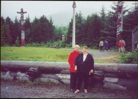
Photograph believed to have been taken at the Museum of Anthropology in Vancouver, B.C. Unidentified individuals can be seen walking in front of forest in background.
Item is one of nine photographs accompanying a greeting card from Agnes Hauglak, Addie Milewski’s sister, reading: “I though you might want these photos. I had to go and send every one their family things. Thank you for being kind to my sister Addie, Agnes M Hauglak”; see also items 2009.6.1.569 - 2009.6.1.577.
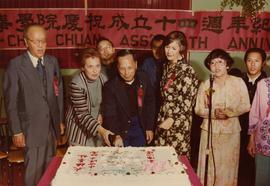
Photograph depicts Iona Campagnolo at a banquet and demonstration on the 14th anniversary of the Vancouver Tai-Chi Chuan Association. Raymond Chung, Master of the Tai-Chi Chuan Association, is cutting a large cake.
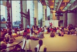
Photograph taken in a hall with large glass windows at the University of British Columbia. Six indoor totem poles visible in background.
Handwritten notation included with photograph reads: “June 1982, First National Networking Conference, Compliments of Katherine Roth, Windsor, Ontario”.
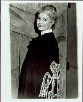
Handwritten annotations on verso read: “In the great hall of the B.C. Museum of Anthropology, in front of Ninstints Totem wearing cape of Sahn-nag-x-wha (One who sits high) gift of Chief Skidegate ‘Dempsey’ Collinson - Q.C.I. made by his wife Irene for ‘naming feast’ Autumn - 1977. June 5, 1982, Address to the First National Womans Network. Age - almost 50.” And “Alive Again 82”.
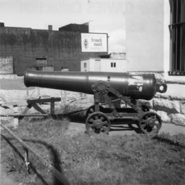
Photograph depicts an iron cannon found outside the BC Regiment Armoury in Vancouver.
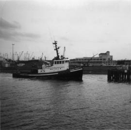
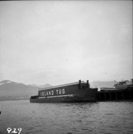
Photograph depicts the "Island Chief" tug of the Island Tug and Barge Company, off pier A3 (CPR) in Vancouver.
Photograph depicts an island tug in Vancouver harbour.
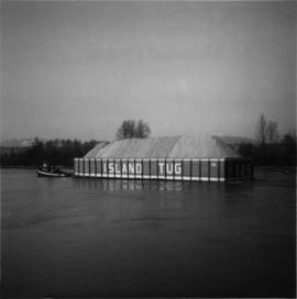
Photograph depicts "Island Tug #125," on the north arm of the Fraser River. Travelling downstrean from Patulla Bridge, New Westminster, and the CNR Lulu Island rail bridge.
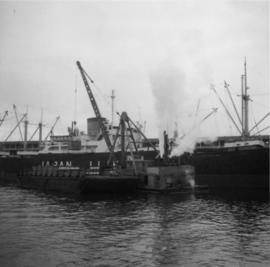
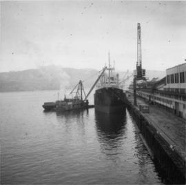
Photograph depicts a steam floating derrick (owned by Mckenzie Barge and Derrick Co. Ltd.) loading contariners from a scow into the hold of "Japan Line." Use of the crane on the non-deck side of a ship was unusual and the use a steam crane was quite exceptional, Davies notes.
Photograph depicts containers being hoisted onto "Japan Line" by means of a steam derrick (owned by Mckenzie Barge and Derrick Co. Ltd.) tied alongside scow holding containers. Davies notes that this was an unusual sight.
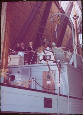
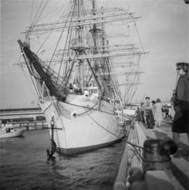
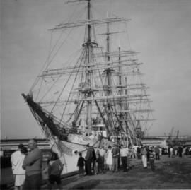
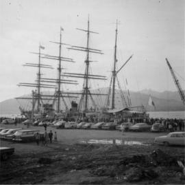
Photograph depicts a Japanese cadet sailing ship called "Kaiuo Maru" at Centennial Pier, Vancouver. Its visit was part of 1966 Vancouver Sea Festival and the ship was open to the public for inspection. Note the radar apparatus on the foremast.
Photograph depicts a Japanese cadet sailing ship called "Kaiuo Maru" at Centennial Pier, Vancouver. Its visit was part of 1966 Vancouver Sea Festival and the ship was open to the public for inspection.
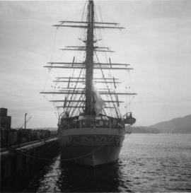
Photograph depicts a Japanese sailing ship, "Kaiuo Maru" at Centennial Pier, Vancouver. Captures the stern view at sunset.
Photograph depicts a Japanese cade training ship called "Kaiuo Maru" at Centennial Pier, Vancouver. Its visit was part of 1966 Vancouver Sea Festival and the ship was open to the public for inspection.
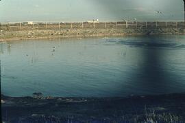
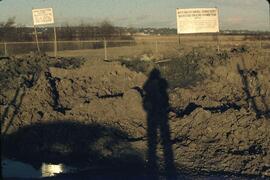
File consists of records created and accumulated by Gary Runka over the course of his consultancy work for Transport Canada for the "Drainage and Integrated Land Use Investigation - Boundary Bay Airport" project in Vancouver. This file was numbered as G.G. Runka Land Sense Ltd. client file #131; that client number may be seen referenced elsewhere in the G. Gary Runka fonds. The Land Sense Ltd. client files generally include records such as correspondence, contracts, invoices, project reports, publications, ephemera, memoranda, maps or map excerpts, legal documents, meeting materials, clippings, and handwritten notes. File also includes an accompanying oversize aerial photograph.
Photograph depicts the junction of Robson and Cordero St. in west end Vancouver, B.C. The photo is looking northwest on the newly demolished block, except for some houses at far end. View is looking down Robson St., with Cordero St. intersecting the photo.
Photograph depicts a replica of the "SS Beaver" built by the RCN in Esquimalt and moored in Vancouver, open to the public. The original ship left Gravesend on August 29, 1935 and reached Fort Vancouver (Oregon) on April 10. 1936.
Photograph depicts a large house that was actually the Sunset Beach Lodge. The western end of the block was being demolished. Image captured the last complete block of houses on Beach Ave.
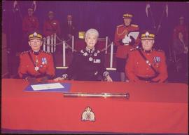
Beverley A. Busson promoted from Deputy Commissioner for British Columbia and the Yukon, and commander of British Columbia to Commissioner. Handwritten notation on RCMP Commanding Officer letterhead included with photograph reads: “RCMP Change of Command, Bev Busson to Interim Com Cda, Gary Bass to Dep Com, E + M, Div”.
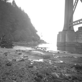
Photograph depicts the Lions Gate (suspension) Bridge.
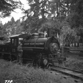
Photograph depicts locomotive #25 at the Cowichan Valley Forest Museum. It was first used in building the C.N.R. in B.C. and/or western Alberta. The gauge is 3' and it is believed it was built to this gauge. The drive is Elmer Blackstaff, the chief mechanic at the museum.
Consists of one bound 1938 Annual from Lord Byng High School in Vancouver.
Series consists of planning documents relating to the British Columbia Lower Mainland collected by planner Chander Suri, reflecting his early career activity in that region. These records include metropolitan transportation and housing studies as well as industrial, residential, and agricultural land reports.
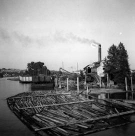
Photograph depicts a mill on the north stream of the north arm of the Fraser River, looking east from the Fraser St. bridge.
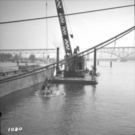
Photograph depicts the Lynn Terminals wharf in Vancouver Harbour. The view is looking east with the Second Narrows bridge in the background. The photo also shows a steam dredger at work.
