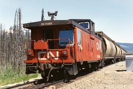
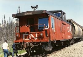
Photograph depicts a CN caboose in Blue River, BC
Blue River, BC
15 Archival description results for Blue River, BC
Photograph depicts the arrival of an eastbound empty grain train, carrying 103 cars, at the Kamloops Junction in Blue River.
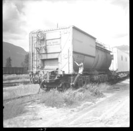
Photograph depicts a former steam locomotive tender.
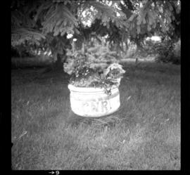
Photograph depicts a concrete pot in an elaborate station station garden that was still maintained but at a much lesser degree than in previous years.
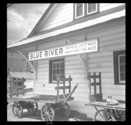
Photograph depicts the depot in Blue River built in 1916. It was located at a subdivisional point.
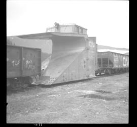
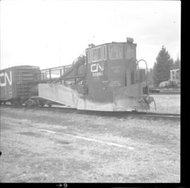
Photograph depicts a plough that was built in 1936. It was found at the depot in Blue River.
Photograph depicts a CN spreader, built in 1960.
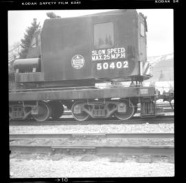
Photograph depicts a crane, numbered 50402. Located at the CNR depot in Blue River.
Photograph depicts a second class station built by the CNR in 1916.
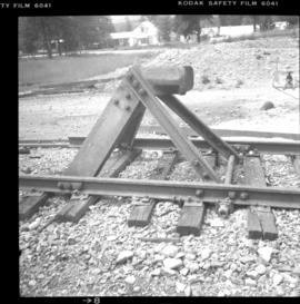
Photograph depicts a buffing post put up by "Dominion Wheel and Foundries Ltd, Toronto."
File consists of an audio recording of an interview with Ivan Andersen. Includes one original recorded audio cassette and one copy.
File consists of a transcript of an oral history interview with Ivan Andersen.
File consists of an audio recording of an interview with Jeanne Anderson. Includes one copy of the original recorded audio cassette; the original recording is not held by the archives.
File consists of a transcript of an oral history interview with Jeanne Anderson.
File consists of trail maps and recreation guides from various places in British Columbia, especially Northern British Columbia. Maps include:
- British Columbia Road Map and Parks Guide
- Northwood Pulp and Timber Limited Forest Operations Recreation Map
- Provincial Parks of Northern British Columbia
- Visitor's Guide: Mackenzie Woodlands
- Visitors Guide: Mackenzie Woodlands
- Mackenzie Forest District Recreation Map
- Dawson Creek Forest District Recreation Map
- Morice Forest District Recreation Map
- Fort St. James Forest District Recreation Map
- Lakes Forest District Recreation Map
- Cariboo Forest Region Recreation Map
- Lakes District Visitors Map
- Prince George Forest District Recreation Map
- Vanderhoof Forest District Recreation Map
- Fort St. John Forest District Recreation Map
- Cariboo Forest Region Recreation Map (East)
- Robson Valley Forest District Recreation Map
- Fort Nelson Forest District Recreation Map
- Forest Service Recreation Sites: Valemount - Blue River
- Forest Service Recreation Sites: McBride - Goat River
- Forest Service Recreation Sites: Prince George West
- Forest Service Recreation Sites: Moberly - Sukunka
- Forest Service Recreation Sites: Nation - Takla
- Forest Service Recreation Sites: Murrat - Kiskatinaw
- Recreation Road Map for the Prince George Forest Area (1987-1988)
- Recreation Road Map for the Prince George Forest Area (1997)
- The Bobtail Forest Service Road Tour
- Forest Recreation Map: Northwood Pulp and Timber Limited
- Forest Operations Recreation Map: Northwood pulp and timber limited
- Forest Service: Recreation Sites Williston/Mackenzie
- Forest Service Recreation Sites Prince George West
- The Official Prince George Tourist Street Map
- Ecological Reserves in British Columbia (July 1990)
- Prince George Forest District map (April 1990) with annotations regarding trials.
