Yukon Territory

Elements area

Taxonomy

Code

Scope note(s)

    Source note(s)

      Display note(s)

        Hierarchical terms

        Yukon Territory

          Equivalent terms

          Yukon Territory

            Associated terms

            Yukon Territory

              352 Archival description results for Yukon Territory

              352 results directly related Exclude narrower terms
              Robert Service Recording
              2000.21.1.1 · Item
              Part of Jack Carbutt Collection

              Item is a re-recording of Robert Service, poet reciting his poetry as re-broadcast on Jack Carbutt's radio show; recording includes Service's poems "The Shooting of Dan McGrew" and " The Cremation of Sam McGee" recordings dated 1943[?].

              Daphne Baldwin Collection
              2003.7 · Fonds · 1942 - 1970s

              This collection consists of textual records related to the history of Northern B.C. and the community of Prince George. Series consist of : (1) Kiwanis Club of Prince George ; (2) Miscellaneous ; (3) Yukon/Alaska Ephemera ; and (4) Josephine Mitchell.

              The Duchess
              2012.13.1.98.05 · Item · 1999
              Part of J. Kent Sedgwick fonds

              Image depicts the Duchess engine, which was built in 1878 and taken out of service in 1919. It was part of a matched set with the Duke and is now a tourist attraction in Carcross, Y.T.

              The Tutshi
              2012.13.1.98.06 · Item · 1999
              Part of J. Kent Sedgwick fonds

              Image depicts half of a ship, which is named the Tutshi, in Carcross, Y.T.

              Miles Canyon? - Trees
              2012.13.1.98.57 · Item · 1999
              Part of J. Kent Sedgwick fonds

              Image depicts numerous trees on the bank of a river, possibly in Miles Canyon near Whitehorse, Y.T. The slide is labelled "canyon city."

              Alaska Highway
              2012.13.1.98.59 · Item · 1999
              Part of J. Kent Sedgwick fonds

              Image depicts a small section of the Alaska Highway somewhere near Whitehorse, Y.T. The slide also appears to be labelled "army washing" for unknown reasons.

              Eroding Rock Face?
              2012.13.1.98.60 · Item · 1999
              Part of J. Kent Sedgwick fonds

              Image depicts what appears to be an eroding rock face. The slide itself is labelled "ash loger at top" for unknown reasons. Possibly located somewhere near Whitehorse, Y.T.

              Miles Canyon - the Schwatka
              2012.13.1.98.61 · Item · 1999
              Part of J. Kent Sedgwick fonds

              Image depicts numerous unidentified individuals getting off a boat which bears the name "Schwatka." It is located somewhere in Miles Canyon.

              Miles Canyon - A River
              2012.13.1.98.65 · Item · 1999
              Part of J. Kent Sedgwick fonds

              Image depicts a river in the Miles Canyon near Whitehorse Y.T. The Robert Lowe Bridge, built in 1922, can be seen over the canyon.

              White Pass Train
              2012.13.1.100 · Subseries · 1999
              Part of J. Kent Sedgwick fonds

              File contains slides depicting locations along the White Pass railway through Alaska, British Columbia, and the Yukon Territories.

              2020.4.6.144 · File · 1985
              Part of G. Gary Runka fonds

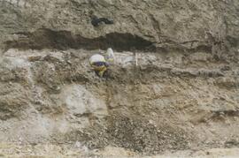
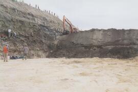
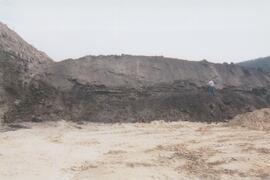
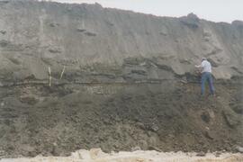
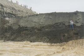
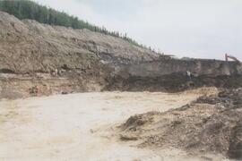
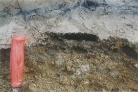
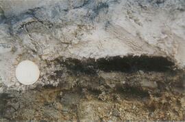
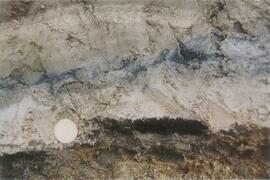
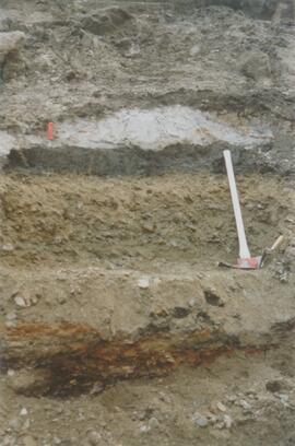
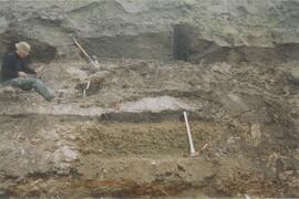
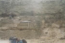
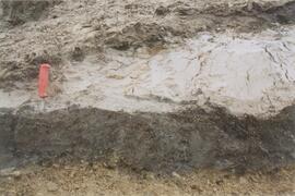
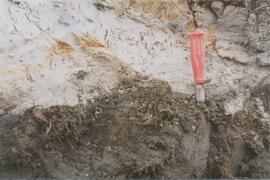
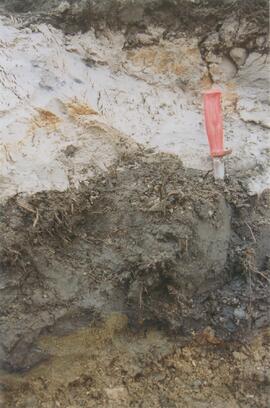
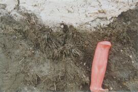
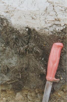
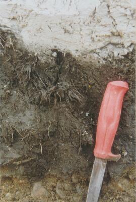
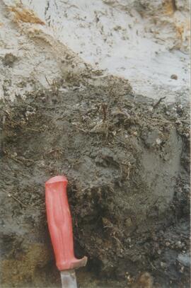
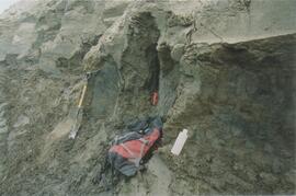
              File consists of records created and accumulated by Gary Runka over the course of his consultancy work for Department of Indian Affairs and Northern Development for the "Impact Analysis of Proposed Mining Road Access, Casino Trail" project in Carmacks, Yukon. This file was numbered as G.G. Runka Land Sense Ltd. client file #144; that client number may be seen referenced elsewhere in the G. Gary Runka fonds. The Land Sense Ltd. client files generally include records such as correspondence, contracts, invoices, project reports, publications, ephemera, memoranda, maps or map excerpts, legal documents, meeting materials, clippings, and handwritten notes.

              Includes the following reports:

              • Government of Yukon Department of Community and Transportation Services, "Proposed Casino Trail Route Location and Terrain Analysis Study", January 1986
              • Casino Trail Project Advisory Committee, "Summary Report", Dec. 1985
              • Spencer Environmental Management Services Ltd. for Indian and Northern Affairs Canada, "Socio-Economic/Environmental Overview for Proposed Casino Trail", December 1985.

              Maps include:

              • "Casino Trail Key Plan", Yukon Department of Community and Transportation Services, 17 Oct. 1985;
              • Annotated section of NTS map "Snag, Yukon Territory";
              • Annotated NTS map "Carmacks, Yukon Territory";
              • Untitled Casino Trail area, Spencer Environmental Management Services Ltd. - 2 copies;
              • "(2116) MacMillan River World Aeronautical Chart", Canada Department of Mines and Technical Surveys, 1965;
              • Annotated combined duplicated copies of NTS maps for Snag and Carmacks, Yukon Territory;
              • Untitled soil map for Casino Trail area, possibly by G.G. Runka Land Sense Ltd., n.d.;
              • Copy of combined annotated NTS maps for Carmacks, Rowlinson Creek, and Mount Nansen, Yukon Territory showing soil types, possibly by G.G. Runka Land Sense Ltd.