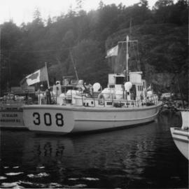
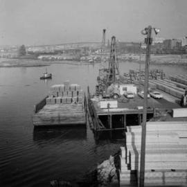
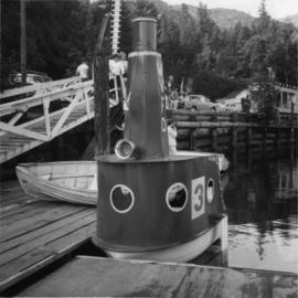
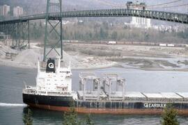
Photograph depicts the end of the Nanaimo to Vancouver bath tub race. Visible is yard ferrying personnel #308.
Vancouver, BC
675 Archival description results for Vancouver, BC
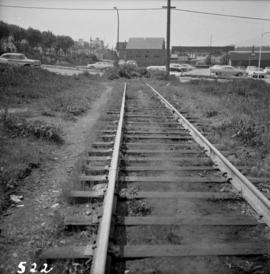
Photograph depicts the end of the C.P.R. transcontinental main line at Cadero St. by the Bayshore Hotel in Vancouver, B.C.
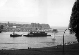
Photograph depicts the entrance to False Creek in Vancouver, B.C. The wooden navigation marker has since been removed. The photo is taken from 1053 Beach Ave.
Photograph depicts the north bank of False Creek in Vancouver, B.C. The photograph was taken from the Cambie Bridge, with a view looking west.
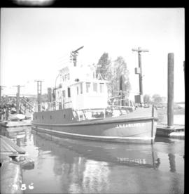
Photograph depicts a fire float at False Creek. It is one of the two operated by the Vancouver Fire Department in Vancouver.
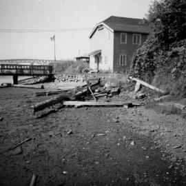
Photograph depicts a fire hall for fire float VFD "J.H. Carlisle" at False Creek. It is on the north shore and in line with Willow St., Vancouver.
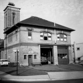
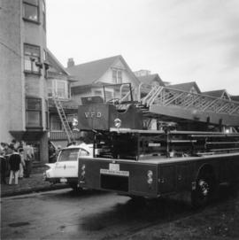
Photograph depicts a west end fire hall in Vancouver on Nelson and Nicola St.
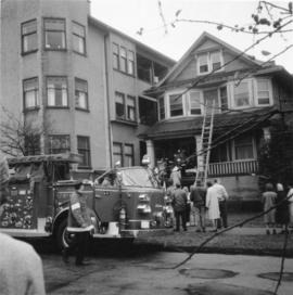
Photograph depicts a fire in the second floor bedroom of a house on Nelson Street.
Photograph depicts a fire in the second floor bedroom of a house on Nelson Street.
Photograph depicts "Fireboat" that was built for the Nanaimo-Vancouver Bath-Tub Race. The race had terminated at Fisherman's cove on the same day.
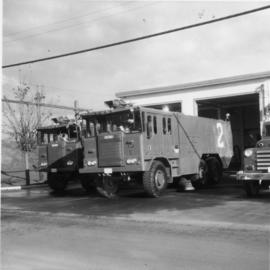
Photograph taken at the main main fire station on the site of the former RCAF station near the Vancouver Airport. Visible is foam pumper #2, operated by the Federal Department of Tranpsort, as well as a Sicard truck.
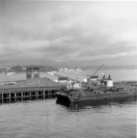
Photograph depicts the former "A" Pier of the CPR near the entrance to Coal Harbour. Undergoing dismantling or major renovation of the pier. The steam crane on a scow belonged to Vancouver Pile Driving and Contracting Co. Ltd. Left of the crane's jib was a new CPR rail slip in construction.
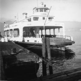
Photograph depicts the former automobile, passenger ferry, "San Diego," that had been acquired for conventions and sightseeing purpsoses. It was believed to have been a San Francisco ferry before being purchased by its present owner in 1973.
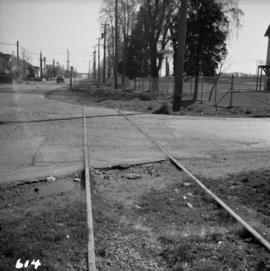
Photograph depicts the former B.C. Electric Railway spur running westwards along Bridgeport Rd., leading from the former main trackage. It was not in use for many years and was lifted in 1965, except for road crossings. The photo is taken from the intersection with Sexsmith Rd., looking east. The former main trackage is sited about 300 yards in the background and at right angles to the track in the foreground.
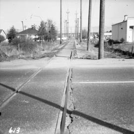
Photograph depicts the former B.C. Electric Railway track crossing Sea Island Way near Bridgeport, Lulu Island, and looking north to the Oak St. road bridge. The track was lifted in 1965 when the new Steveston route went into service.
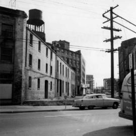
Photograph depicts a former C.P.R. connection between the False Creek yards and the south side of Vancouver harbour on West Pender St. in Vancouver, B.C. This spur used daily to get cars into the B.C. Electric Rail yard at the Georgia Viaduct from the C.P.R. False Creek yards.
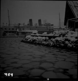
Photograph depicts the former C.P.R. passenger vessel "Lady Alexandra", now a floating restaurant in Coal Harbour. The Bayshore Hotel is at the right. The picture was taken after a snowfall and shows a view looking east.
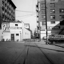
Photograph depicts the former C.P.R. route connecting existing False Creek rail yards and the Burrard shoreline main line. The view is looking southwest from the intersection of Powell St. (in foreground) and Columbia St. (not seen) in Vancouver.
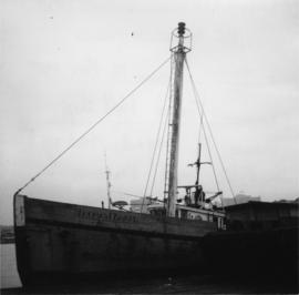
Photograph depicts a former light ship called "Thomas E. Bayard." Visible is a schooner before the ship.
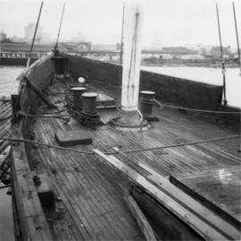
Photograph depicts a former light ship called "Thomas E. Bayard." Image captured the view of the foredeck and base of the mast holding a light.
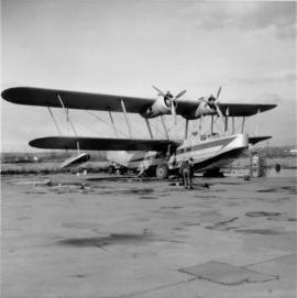
Photograph depicts a former RCAF that is not airworthy. Its interior was in shambles.
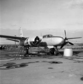
Photograph depicts a former RCAF that is not airworthy. It had lost its tail unit.
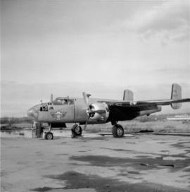
Photograph depictsa former RCAF hanger. Plane was airworthy, only required engine repairs.
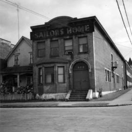
Photograph depicts a former Sailor's Home at the southeast corner of the intersection at Alexander St. and Jackson St. in Vancouver, B.C.
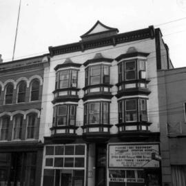
Photograph depicts the former "Terminus Hotel" on 32 Water St., 50 yards from the center of old Vancouver.
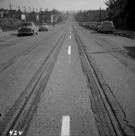
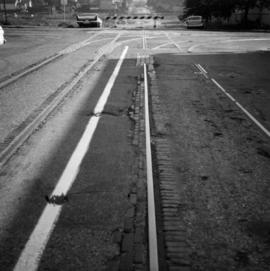
Photograph depicts former tram tracks down east Georgia St. in east Vancouver, BC
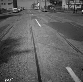
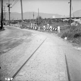
Photograph depicts former tram tracks, looking north from the intersection at Campbell Ave and east Georgia St. in Vancouver, BC
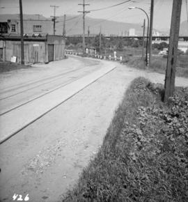
Photograph depicts former tram tracks still intact at east Georgia St. and Campbell Ave. in the east end of Vancouver, BCThe tracks continued forward and crossed the low ground on a trestle.
Photograph depicts former tram tracks in Vancouver, BCPhotograph taken from the intersection of Fir St. and a piece (in the left hand of photo) leading to First Ave., with the B.C. Electric Railway behind.
Photograph depicts former tram tracks at the north end of Fu St. on the south side of False Creek in Vancouver, BC
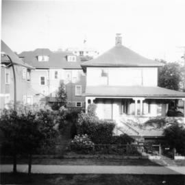
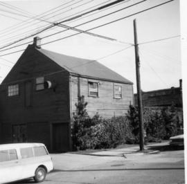
Photograph depicts a frame house in Vancouver. A high rise apartment on Barclay Street was being built and was just appearing in the background.
Photograph depicts the rear view of Ridgewood Studio, Ltd., furnishers and furniture renovators. The wood shed was used for repair and repolishing of furniture.
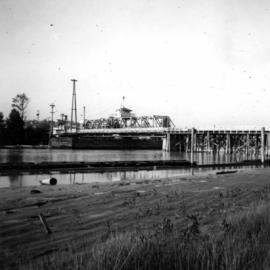
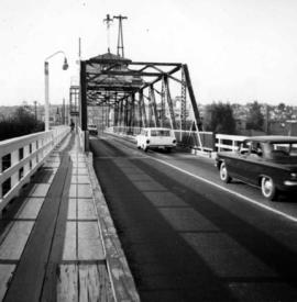
Photograph depicts the Fraser St. road bridge over the north section of the north arm of the Fraser River (ie. between Vancouver and Mitchell Island). Shot is looking northeast.
Photograph depicts the Fraser St. road bridge over the north section of the north arm of the Fraser River, looking north from Mitchell Island to Vancouver, BC
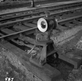
Photograph depicts a general view of switch detail at the C.P.R. False Creek yards in Vancouver.
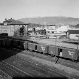
Photograph depicts the general view of the waterfront buildings between Burrard and Thurlow St., in Vancouver Harbour looking northwest from Burrard St. The Immigration Building is on the left and the "Princess of Vancouver" (C.P.R.) is in the middle distance.
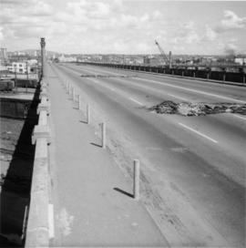
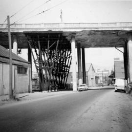
Photograph depicts the Georgia Viaduct in Vancouver. Image taken 5 days after its closure on June 28, 1971.
Photograph depicts a wooden arch supporting the sagging Georgia Viaduct in Vancouver, BCThe road in the foreground is Taylor Way.
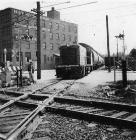
Photograph taken at the Great Northern Railway connection from its terminal yards to its wharf on Vancouver Harbour or the connection with CPR. Image captured crossing Powell Street, looking southward, north of Glen Drive, Vancouver.
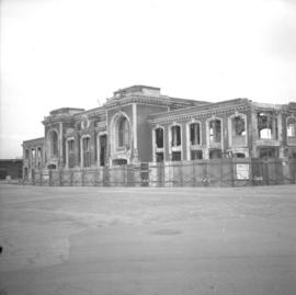
Photograph depicts the Great Northern Railway station on Main Street, Vancouver being demolished.
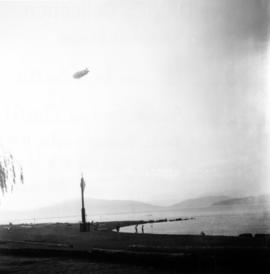
Photograph depicts a Goodyear airship travelling over Spanish Banks, Vancouver. It took part in the Abbotsford Air Show of 1971.
