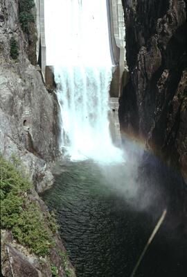
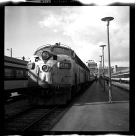
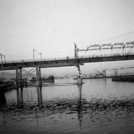
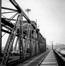
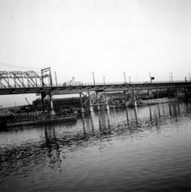
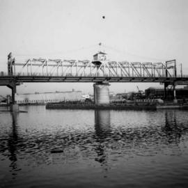
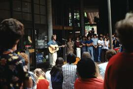
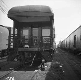
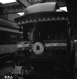
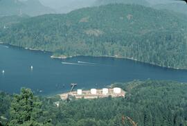
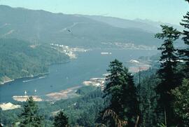
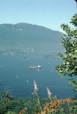
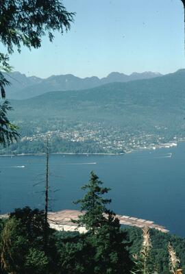
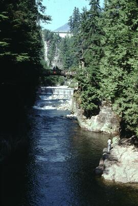
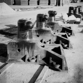
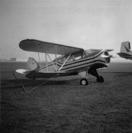
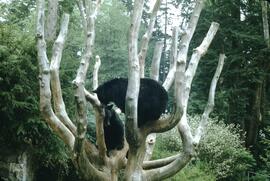
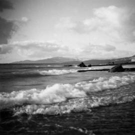
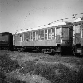
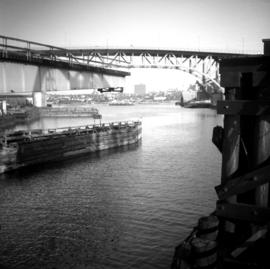
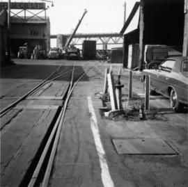
Vancouver, BC
675 Archival description results for Vancouver, BC
Photograph depicts a clamshell dredge at work near a BCE Railway trestle. Its spurs were down, suggesting rip-rap dumping.
Photograph depicts a clamshell dredge at work beside a BCE Railway trestle. It appeared to be placing rip-rap.
Photograph depicts a clamshell dredge at work.
This municipal map of the City of Vancouver from 1987 shows street names and street widening information.
Map depicts the city of Vancouver and its railways.
Map depicts the city of Vancouver, including the electoral districts of Comox-Powell River, Capilano, North Vancouver-Burnaby, Mission-Port Moody, Burnaby, Fraser Valley West, New Westminster-Coquitlam, Surrey-White Rock-North Delta, Richmond-South Delta, Vancouver South, Vancouver Kingsway, Vancouver Quadra, Vancouver Centre, and Vancouver East.
Photograph depicts a church on a reservation at Mosquito Creek in North Vancouver, B.C.
Photograph depicts the Western Bridge Division on 1st Avenue, Vancouver. Visible is internal trackage and a rail/road tractor.
Photograph depicts a cannery at the seaward entrance to the south arm of the combined north arm of the Fraser river. Visible are a few rusted anchors. One was marked "Locomotive B.C. 100 Ibs. 1943 U.S. Navy."
Photograph depicts a Canadian Pacific Railway boat docked at Vancouver, BC. Handwritten annotation below photograph reads, "C.P.R. Boat Vancouver".
Photograph depicts an apron opposite a CPA main hanger.
Photograph depicts the Burlington-Northern Railroad (USA), formerly the Great Northern Railway. Visible are two GN locomotives leading the last passenger train out of Vancouver on the Vancouver-Seattle-Vancouver run.
Photograph depicts the Cambie St. Bridge in Vancouver, BC, looking east and showing the north fixed span of the bridge.
Photograph depicts the Cambie St. Bridge in Vancouver, BC, showing the west side and view facing south.
Photograph depicts the Cambie St. Bridge in Vancouver, BC, looking east and showing the central swing span.
Photograph depicts the Cambie St. Bridge in Vancouver, BC, looking southeast and showing the southern fixed span on the bridge.
Photograph depicts Cadero St. in the west end of Vancouver, looking north from Barclay St. intersection in the 800 block.
Photograph depicts the business car "Van Horne" at the C.P.R. False Creek yard in Vancouver, B.C. It is not numbered.
Photograph depicts the business car "British Columbia" (ex. C.P.R.) at the C.N. station in Vancouver. It is tailing the special to Hope, on its first run since acquisition by the West Coast Railway Association.
Photograph depicts a self-propelled rail barge.
Photograph depicts the Burrard Dry Dock Co. Ltd. on the North Shore in Vancouver. There is a freighter in dock #2.
Photograph depicts boat named "Burnaco."
Photograph depicts buildings of the former Vancouver-Lansdale ferry. They appeared to now be used by Kingcome Navigation Co. as well as other businesses.
Photograph depicts the Buckingham Apartments at 925 Cardero St.and Barclay St. in Vancouver, B.C.
Photograph depicts the Buckingham Apartments at 925 Cardero St. in Vancouver, B.C. after a snowfall. The view is looking south and depicts Barclay St. crossing in the foreground.
Map depicts annotations marking the major freight-ways: Garnet Ent. Truck Haul from Vancouver to Terrace, Canada Freightways Lyndon Trucking from Vancouver-Edmonton-Alaska Highway, Lindsays Transfer from Terrace to Dease Lake and Telegraph Creek, and the Northland Navigation roll-on and roll-off service. The cities and towns of Vancouver, Prince George, Dawson Creek, Terrace, Kitimat and Whitehorse are noted.
Map depicts annotations of the freight-way routes throughout British Columbia. These routes include: the Garnet Enterprise Truck Haul from Vancouver to Terrace, the Canadian Freightways from Vancouver to Edmonton to Alaska; the Lindsay Transfer from Terrace to Dease Lake and Telegraph Creek; and the Northland Navigation roll-on and roll-off service.
Photograph depicts a former fire hall now used as a boy's club on 12th Ave and St. Catherine's St., in Vancouver, B.C. It is one and a quarter miles southeast of C.N.R. station.
Photograph depicts bollards for erection in new sea wall, to make outer face of the deep sea wharf being constructed at Dunlevey St. in Vancouver, B.C.
Item consists of transcript and tape summary of interview with local boxer Harold Mann discussing his boxing career.
Harkins, BobItem consists of transcript and tape summary of interview with local music reviewer Fred Bradley. He discusses his early life, move to Canada, memories of the Merchant Marines during World War II. Also discusses arts scene in Prince George.
Harkins, BobItem consists of transcript and tape summary of interview with Catholic Bishop Fergus O'Grady on his retirement as Bishop of the local Catholic Diocese of Prince George. Discusses also the Oblate Missionary Order and their history in Northern British Columbia. Also discusses the founding of the Prince George College.
Harkins, BobPhotograph depicts the only biplane and canavas covered, light aircraft amongst a group of 25 machines in excellent condition.
Map depicts British Columbia in its entirety as-well as smaller subsequent maps of Vancouver, Victoria and Vicinity, Prince George, Kamloops, Nelson, and Vancouver Island.
Photograph depicts Beach Ave. in Vancouver, with the photo taken near the swimming pool and looking west. Photo was taken after a storm.
Photograph depicts old BC Electric Railway interurbans purchased for restoration by the government of BC from an Oregon owner. They stood in the CPR Duke Street Yards in Vancouver.
Photograph depicts a BCER rail bridge at the entrance to False Creek, Vancouver.
Photograph taken at the west end of Johnston Street at the plant of Arrow Transfer Company Ltd.
Photograph taken looking southwest at the Granville Island to the mainland connection.