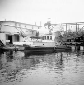
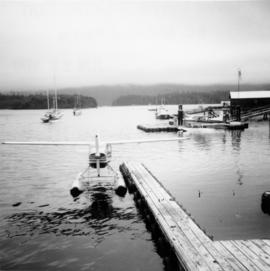
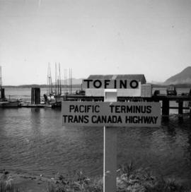
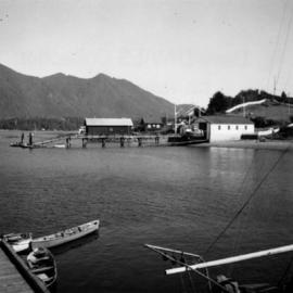
File consists of records created and accumulated by Gary Runka over the course of his consultancy work for BC Ministry of Crown Lands for the "Tofino-Nootka Sound Coastal Resource Interest Study" project in Tofino-Nootka Sound. This file was numbered as G.G. Runka Land Sense Ltd. client file #232; that client number may be seen referenced elsewhere in the G. Gary Runka fonds. The Land Sense Ltd. client files generally include records such as correspondence, contracts, invoices, project reports, publications, ephemera, memoranda, maps or map excerpts, legal documents, meeting materials, clippings, and handwritten notes.
Includes the following:
- BC Ministry of Crown Lands, "Nootka Coastal Resource Interests Study - Summary Notes", April 1989
Maps include:
- Blank map showing the Nootka Coastal Resource Interest Study area, North Sheet.
- Blank map showing the Nootka Coastal Resource Interest Study area, Central Sheet.
- Blank map showing the Nootka Coastal Resource Interest Study area, South Sheet.
- Reproduced map using various government base maps showing the Nootka Coastal Resource Interest Study area, South Map.
- Reproduced "Clayoquot Sound Northwest Portion" map used as a base map for the Nootka Coastal Resource Interest Study area.
- Reproduced "Esperanza Inlet" map used as a base map for the Nootka Coastal Resource Interest Study area, North Map. (2 copies)
- Reproduced map using various government base maps showing the Nootka Coastal Resource Interest Study area, South Map.
- Reproduced map using various government base maps showing the Nootka Coastal Resource Interest Study area, Central Map.