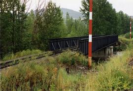
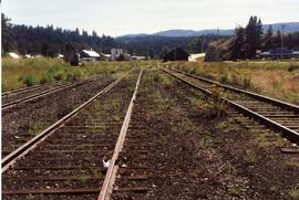
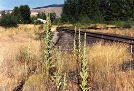
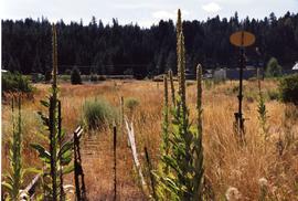
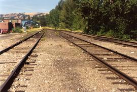
Photograph taken on the eastern outkirts of Princeton. Bridge spanned over the Tulameen River.
Princeton, BC
34 Archival description results for Princeton, BC
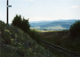
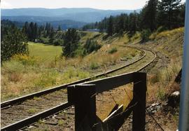
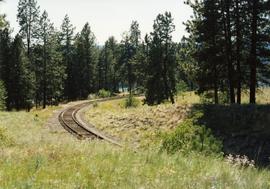
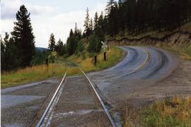
Photograph taken between Summerland and Princeton. Depicts the beginning of the drop into Princeton Valley, just before a big loop.
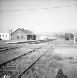
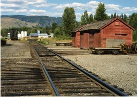
Photograph depicts the C.P.R. depot at Princeton, looking east.
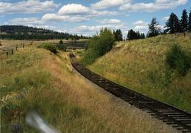
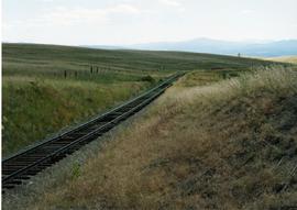
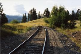
Photograph depicts the top of the grade coming out of Princeton, going east to Penticton.
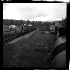
Photograph depicts the CPR line at Princeton, located at mile 70.5 on the Princeton Subdivision, from Penticton. The way freight runs Penticton-Princeton-Penticton. Twice a week this crew does the Penticton-Midway-Penticton run. The freight train in the picture is headed by CPR locomotive #8830 and had 4 boxcars loaded with lumber.
Photograph taken near Princeton. Looking west, just before dropping into a big loop.
Photograph taken east of the CPR depot in Princeton.
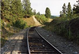
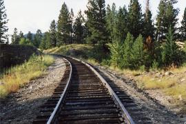
Photograph taken looking downgrade at CPR track, east of Princeton.
Photograph depicts one of the CPR loop on the 'big loops' near Princeton, on KVR trackage.
Photograph depicts a CPR spur line (located on the right), running off from the 'main line' that went from Princeton to Penticton. The spur led to a sawmill.
Photograph depicts curves at the loop ends of the Princeton to Jura track.
Photograph depicts curves at the loop ends of the Princeton to Jura track.
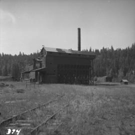
Photograph depicts a derelict copper smelter at Princeton, BC. The ore comes from Copper Mountain.
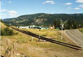
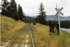
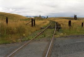
Photograph depicts a road crossing (to Jura and Osprey Lake), northeast of Princeton.
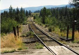
Photograph depicts a road crossing (to Jura and Osprey Lake), northeast of Princeton. Looking downgrade into Princeton Valley.
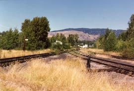
Photograph depicts the west yards of the KVR.
Photograph depicts KVR track in Princeton.
File consists of documentary photographs taken by David Davies of the KVR in Princeton, British Columbia.
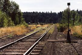
Photograph taken in the KVR yard area where there was a ballon in the place of a turning wye.
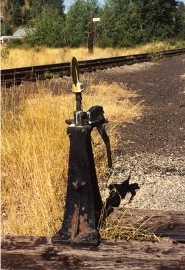
Photograph depicts details of a switch stand.
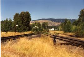
Photograph taken looking east, towards the depot and town of Princeton. Behind the yard lay the beginnings of the former Copper Canyon branch.
Photograph taken looking west towards the depot in Princeton on mile 70.5.
Photograph depicts a spur that led off on the norst side of the main line between Princeton and Brookmere. The last train seen here was in May, 1989.
Photograph depicts an open space where former yards of the KVR were located. Visible is a 2 stall engine shed, a turning ballon (in place of a wye), and the connection with the 14 long Copper Mountain Bracnch which conveyed copper concentrate and closed in 1957. Just out of view, on the right, was the Princeton Tunnel built by the GNR in 1910.
Photograph depicts abandoned KVR track. The depot was located just behind the camera.
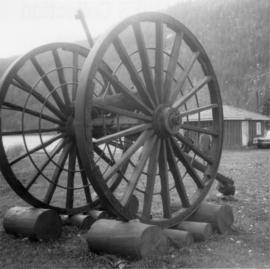
Photograph depicts logging wheels found on the Princeton to Merritt highway at Laird, Dry, or Allison Lakes.
Series consists of photographs relating to Ray Williston's life from childhood to recent times, air photographs of Prince George, photographs of Bangladesh, and a listing of photographs slated for use in Mr. Williston's biography "Forests, power and policy: the legacy of Ray Williston" written by Eileen Williston and Betty Keller.
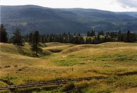
Photograph depicts the curves of the famous 'loops' that used to gain and lose height from Princeton Valley.
Photograph depicts the famous 'loops' that used to gain and lose height from Princeton Valley.
Fonds consists of photographs, scrapbooks of newspaper clippings and memorabilia, correspondence, reports and other textual material. The photographs relate to Mr. Williston’s life from childhood to the late 1990s, the scrapbooks document Mr. Williston’s years in political office, and the textual materials relate to both Mr. Williston’s public life and private interests.
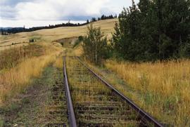
Williston, Ray GillisPhotograph depicts a road crossing somewhere on the "loops" on the Princeton to Jura line. Looking downgrade at a loop.
Photograph depicts a road crossing somewhere on the "loops" on the Princeton to Jura line.
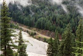
Photograph taken about 2 miles west of Princeton. Depicts track beside the Tulameen River. Taken, looking west, form a ridge holding on the Princeton to Hope highway.
