Videotape contains footage of: 21-Jul-06 - Pine beetle research in Mackenzie (Part 2) - Includes aerial footage
Prince George, BC
2402 Archival description results for Prince George, BC
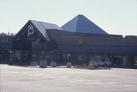
Image depicts Pine Centre Mall in Prince George, B. C. Map coordinates 53°53'53.2"N 122°46'36.4"W
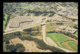
Image depicts an aerial view of Pine Centre Mall and Masich Place Stadium in Prince George, B.C.
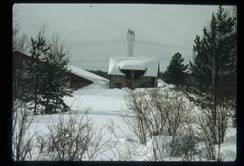
Image depicts Pineview on Buckhorn Lake Road, Prince George, B.C.
Image depicts Pineview on Buckhorn Lake Road, Prince George, B.C.
Image depicts Pineview on Buckhorn Lake Road, Prince George, B.C.
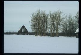
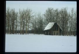
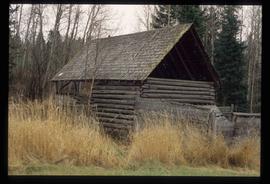
Image depicts an old barn somewhere in the Pineview subdivision in Prince George, B.C.
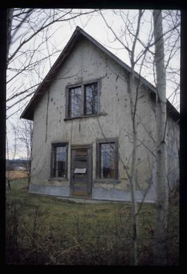
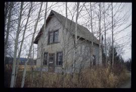
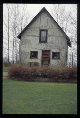
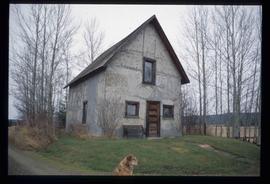
Image depicts an old Swedish style house somewhere in the Pineview subdivision in Prince George, B.C.
Image depicts an old Swedish style house somewhere in the Pineview subdivision in Prince George, B.C.
Image depicts an old Swedish style house somewhere in the Pineview subdivision in Prince George, B.C.
Image depicts an old Swedish style house somewhere in the Pineview subdivision in Prince George, B.C.
Videotape contains footage of: 15-Dec-00 - Planet Education Footage from Knowledge Network. Includes footage of Jill Harriman, shots of campus, and classroom footage with Tracy Summerville
Film consists of clips featuring UNBC content that have been extracted from various Planet Education television show episodes. Includes clips of salmon research and pine beetle research.
Film consists of clips featuring UNBC content that have been extracted from various Planet Education television show episodes. Includes clips of a UNBC tour, Alzheimer's disease research, John Prince, Rural Nursing, Salmon DNA research, and UNBC right-of-ways.
Series consists of planning material created or collected by Chander Suri during his career as an independent planning consultant predominantly active in the Prince George area. These records include zoning and subdivision bylaws, Official Community Plans, Prince George property data and housing studies, environmental studies and information, and development plans for various municipalities and Indigenous communities. This series also contains photographs, maps, and plans related to Suri's consultancy work.
Consists of legal records and documents related to the holdings and activities of J. B. Henderson-Roe and his father, C.H. Henderson-Roe, including a hand-drawn map of Prince George, Fort George, and South Fort George, as well as a surveyor's plan for a subdivision.
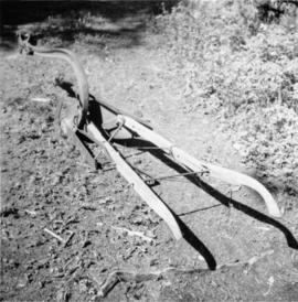
Photograph depicts a plough found near Clulculz Lake, 45 miles west of Prince George. Its metal parts were made in the USA.
Series documents H.G.T. Perry's political activities primarily in British Columbia. They include his tenure as Mayor of Prince George (1917-1918; and 1920); as Member of the Legislative Assembly for Fort George (1920-1928 & 1933-1945); as Speaker (1933-1937)and Deputy Speaker (1924 to 1928) of the Legislative Assembly; as Minister of Education (1941- 45); and as Chairman of the Post-War Rehabilitation Council (1942-194?). This series is comprised of significant materials covering a wide range of topics related to Northern British Columbia (such as Northern BC political and economic developments); World War II and Post-War Rehabilitation and politics in British Columbia.
Types of records include: Speakers' Decisions (1877-1943) in the BC Legislative Assembly, memoranda, publications, reports, correspondence, advertisements, telegrams, resolutions, speeches, radio addresses, proposals, maps, plans, file notes, newspaper clippings, scrapbooks, ephemera, and postcards and WWII and Post-War Printed Material.
Photograph depicts a mayoral portrait of John Backhouse.
File contains postcards portraying life in Prince George, B.C. Images depict street scenes (George Street, Central Avenue, and Hamilton Avenue), government buildings, Hotels, a theatre, a baseball game, and construction of a pier.
Item consists of architectural plans created by Stuart C. Ross for the Powder King Ski Lodge, including Floor Plans; Elevations; Building Section; Building Section Details; Reflected Ceiling Plan, Window Schedule, Door Schedule, Room Finish Schedule; Millwork Details; and Roof Plan.
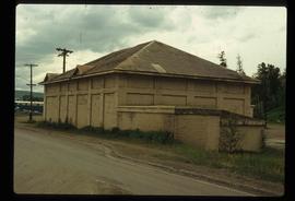
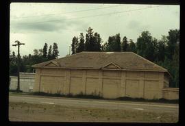
Image depicts a powerhouse in Prince George, B.C.
Image depicts a powerhouse in Prince George, B.C.
Image depicts power lines east of the pulp mills in Prince George, B.C.
Videotape contains footage of: 20-Jul-06 - Premier [Gordon Campbell?], UNBC President Don Cozzetto, and Rick Krehbiel regarding land transfer
File consists of photographs of the President's Circle Dinner & Awards Presentation Event.
Videotape contains footage of a President's Lecture Series event with David Strangway.
Videotape contains footage of a President's Lecture Seriesevent with Harry Arthurs on February 21, 1996.
Videotape contains footage of a President's Lecture Series event with John Stubbs.
Videotape contains footage of a President's Lecture Seriesevent with Timothy Findley in April 1993.
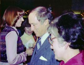
Photograph depicts Prime Minister Pierre Trudeau and three women in a crowd at a Northern BC Winter Games event in Prince George.
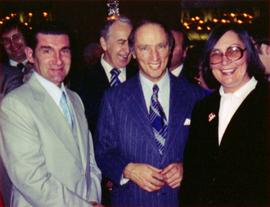
Photograph depicts Prime Minister Pierre Trudeau, Evelyn Basso, and a man standing in a crowd at a Northern BC Winter Games event in Prince George.
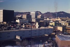
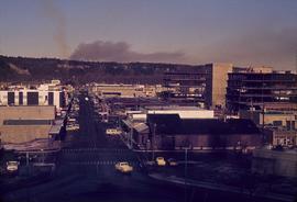
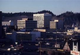
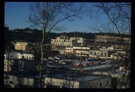
Image depicts downtown Prince George looking northwest across Dominion Street. Map coordinates 53°54'48.7"N 122°44'45.6"W
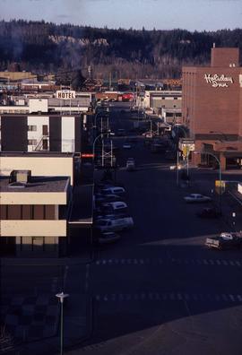
Image depicts a view of Prince George from City Hall looking northeast along George Street. Map coordinates 53°54'46.3"N 122°44'41.9"W
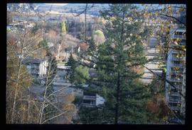
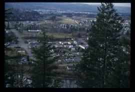
Image depicts Prince George with numerous trees obscuring most of the view.
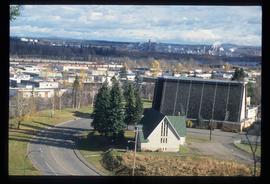
Image depicts a view of Prince George.
Image depicts downtown Prince George looking northwest. Map coordinates 53°54'48.7"N 122°44'45.6"W
Image depicts a view of Prince George.
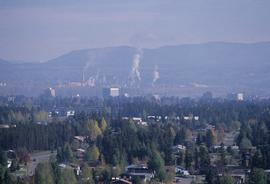
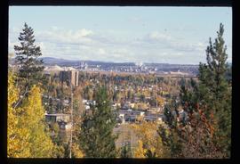
Image depicts Prince George, possibly with the Northwood Pulpmill in the background.
Image depicts Prince George, possibly with the Northwood Pulpmill in the background.
Image depicts Prince George, possibly with the Northwood Pulpmill in the background.
Image depicts Prince George.
Image depicts a view of Prince George.
Image depicts a view of Prince George.
Image depicts a view of Prince George from City Hall looking northeast along George Street. Map coordinates 53°54'46.3"N 122°44'41.9"W
Image depicts Prince George, B.C.
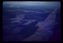
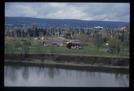
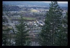
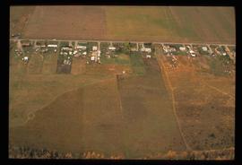
Image depicts an aerial view of what is possibly an outlying area of Prince George, B.C.
