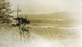
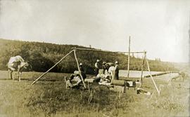
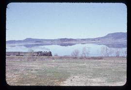
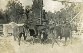
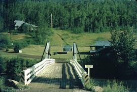
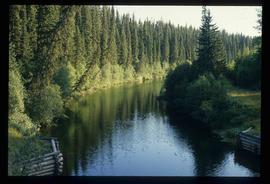
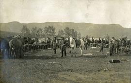
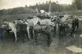
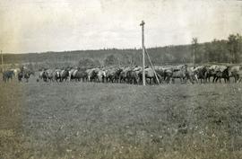
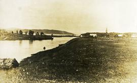
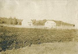
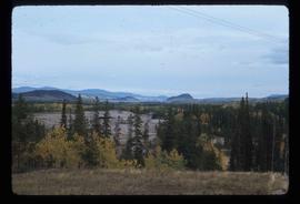
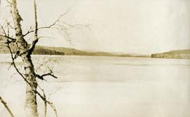
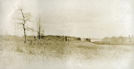
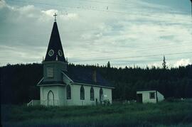
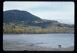
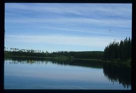
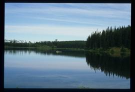
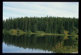
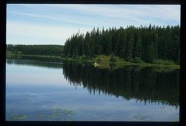
Photograph depicts a view of a lake and river from a high hill. Treed hills in the background.
Fraser Lake, BC
67 Archival description results for Fraser Lake, BC
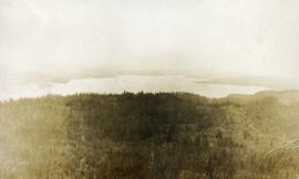
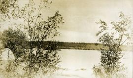
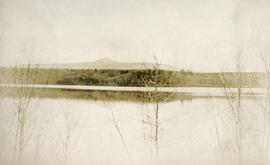
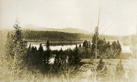
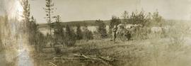
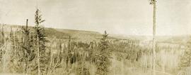
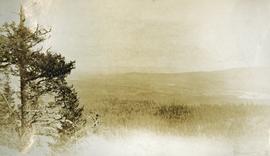
Photograph depicts a view of immense rolling, treed hills.
Photograph depicts treed hills in the foreground. Buildings on a field near the river in the midground. Treed hills and a body of water in the background.
Photograph depicts a lake in the foreground, treed hills in the background.
Photograph depicts a view of a lake and river from a high hill. Treed hills in the background.
Photograph depicts several horses enclosed in log a large log carrel. Horses are loaded with packs, three or more persons appear to be unloading them.
Photograph depicts a view of a lake, aspens in the foreground, low rolling hills in the background.
Photograph depicts five or more men standing near a tent frame. There are several packs on the ground and two horses loaded with packs. There is a bridge or dock on the right, a body of water and forested hills in the background.
Photograph depicts a man standing behind a loaded wagon, water and rolling, forested hills in the background.
Photograph depicts three cows on the edge of a lake, grass in the foreground, low rolling hills in the background.
Photograph depicts a view of the lake, aspens in the foreground, low forested hills in the background.
Photograph depicts a view of a lake from above, aspens in the foreground, low rolling hills in the background.
Photograph depicts the engine and first two cars of a railway train in left foreground. Water crosses midground, hills stand on opposite shore in background. Handwritten annotation on recto of mounted slide reads: "Lejak [sic] & Fraser Lake in [?]" See also item 2006.20.1.196 for image featuring similar content.
Photograph depicts six horses harnessed to a center pole. Three men attend the horses, two men with pitchforks stand atop a wagon loaded with cut grain stocks in the background.
Image depicts the Salmon River by Fraser Lake.
Photograph depicts a large semicircle of tethered horses. Loaded packs are arranged near each horse. Men, boys and a border collie are in the foreground, low mountains in the background.
Blueprint showing plan for proposed railway crossing and road in Fraser Lake, B.C. Property lines are shown, as well as a detail of the road curve.
Photograph depicts a group of horses in process of being loaded with packs. Four or more men attend. There is a canvas tent, open fire and more people in the background.
Photograph depicts twelve or more horses loaded with packs. Three or more men attending. There is a telegraph pole in the midground, treed low hills in the background. The horses are standing in a field.
Photograph depicts a man standing on the edge of a trail looking to the treed hills in the distance.
Image depicts Nautley and the Nautley River near Fraser Lake, B.C.
Photograph depicts three or more men near a wagon loaded with supplies. A team of two or more horses are hitched to the wagon. Lake and rolling treed hills in the background.
Exterior photograph of a residential school. Printed annotation on recto reads: “Industrial Indian school, Fraser Lake. B.C.
File consists of records created and accumulated by Gary Runka over the course of his consultancy work for Nadleh Whut'en Indian Band for the "Forage Land Value Assessment for Lejac Residential School Property" project in Fraser Lake. This file was numbered as G.G. Runka Land Sense Ltd. client file #429; that client number may be seen referenced elsewhere in the G. Gary Runka fonds. The Land Sense Ltd. client files generally include records such as correspondence, contracts, invoices, project reports, publications, ephemera, memoranda, maps or map excerpts, legal documents, meeting materials, clippings, and handwritten notes. File also includes 3 accompanying aerial photographs.
Maps include:
- M.E.C., "Preliminary Plan of Lejac School Site, Seaspunkut I.R. No. 4", July 1973.
- Energy, Mines and Resources Canada Surveys and Mapping Branch, "Survey Overlay Photomap of Seaspunkut I.R. No. 4, Range 5, Coast District, British Columbia", scale 5000, NTS map sheet 93K/2, Nov. 1992.
Photograph depicts ten men standing on a boardwalk outside a large building. Another building, boardwalks and fences nearby. Forest in the background. The buildings are constructed from lumber.
Photograph depicts a cluster of seven or more buildings, fences and a flag pole. A grassy field in the foreground, rolling hills in the background.
Photograph depicts buildings, field, and fenced areas with forest in the background.
Photograph depicts treed rolling hills near Fraser Lake, BC.
Image depicts a view of the Fraser Lake skyline.
Photograph depicts a lake. Photograph is framed by a deciduous tree on the left. Forest and rolling hills in the background.
Photograph depicts a view of the Fraser Lake ferry house from a distance.
Photograph depicts view from behind the ferryman and ship's wheel. Fraser Lake and treed hills in the background.
Image depicts a view of the Fraser Lake from the Fraser Lake campsite.
Image depicts a cabin at Fraser Lake, B.C. which is labelled on the slide as an example of a "square log" dovetail joint.
Image depicts the old Hudson Bay Trading Post with several unknown individuals present in Fraser Lake, B.C.
Image depicts the old Hudson Bay Trading Post in Fraser Lake, B.C.
Image depicts a row of houses in Fraser Lake, B.C.
Image depicts a couple of houses in Fraser Lake, B.C.
Image depicts a few buildings in Fraser Lake, B.C.
Image depicts a group of children playing a yard in Fraser Lake, B.C.
Image depicts a canoe on the Fraser Lake.
Image depicts the Fraser Lake.
Image depicts a view of the Fraser Lake.
Image depicts the Fraser Lake.