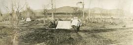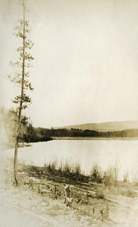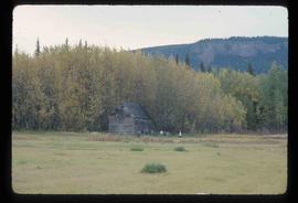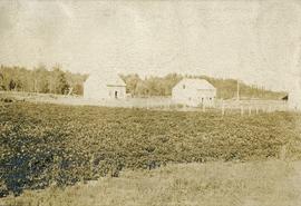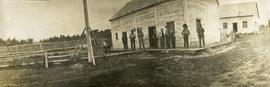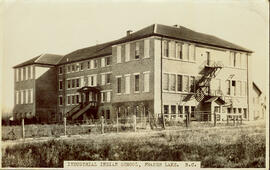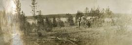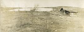
2014.10.1.173
·
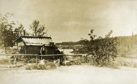
Item
·
1911
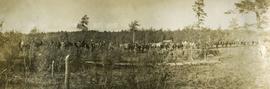
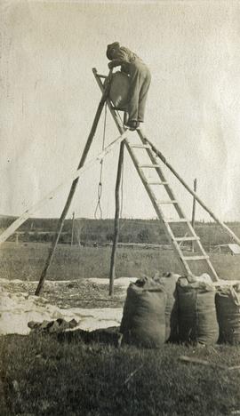
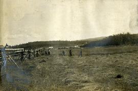
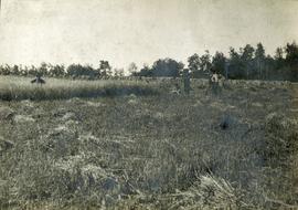
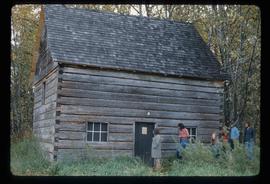
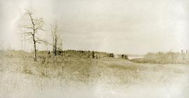
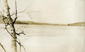
Part of Arthur Holland Land Surveying Collection
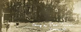
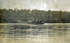
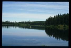
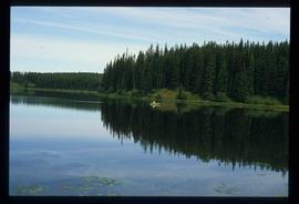
Photograph depicts a rustic log cabin, shed and garden fence near the edge of a lake. The surrounding landscape consists of low rolling hills. Note: Fort Fraser, BC was at one time also referred to as "Fraser's Lake" - the name of the Post Office within the Hudson Bay Company store.