2012.13.1.93.53
·
Item
·
1978
Part of J. Kent Sedgwick fonds
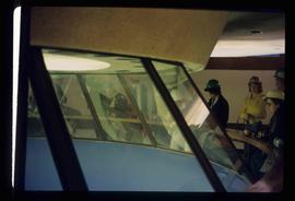
Image depicts a group of unidentified individuals look through an observatory window at an uncertain location, possibly in Fort St. John, B.C.