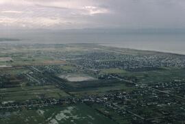
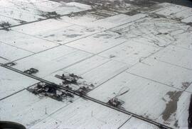
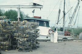
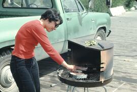
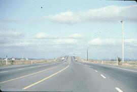
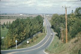
File consists of records created and accumulated by Gary Runka over the course of his consultancy work for Corporation of the Township of Richmond for the "Preparation of Background Agriculture Study for Community Plan" project in Richmond. This file was numbered as G.G. Runka Land Sense Ltd. client file #107; that client number may be seen referenced elsewhere in the G. Gary Runka fonds. The Land Sense Ltd. client files generally include records such as correspondence, contracts, invoices, project reports, publications, ephemera, memoranda, maps or map excerpts, legal documents, meeting materials, clippings, and handwritten notes.
Includes:
- Township of Richmond Planning Department, "The Richmond Official Community Plan", Sept. 1986
- Township of Richmond Planning Department, "Official Community Plan Issue Paper No. 3 - Agricultural Issues", Sept. 1984.