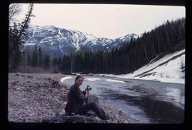
File contains slides depicting places in or near Pine Pass and along the Peace River.
Peace River Region, BC
60 Archival description results for Peace River Region, BC
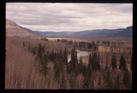
Image depicts what is either the Peace or Kiskatinaw River in Pine Valley, B.C.
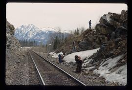
Image depicts a group of individuals who appear to be searching through the rocks near a railway track. It is possibly part of an educational trip.
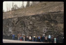
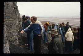
Image depicts a large group of people examining the sediment layers in a rock face.
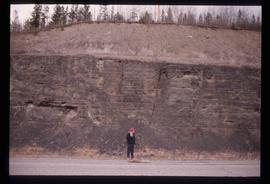
Image depicts an unidentified individual standing in front of a rock face with visible sediment layers. Located somewhere in the Peace River Region, possibly near Hudson's Hope.
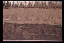
Image depicts a wall of rock with visible sediment layers at an uncertain location in the Peace River Region, possibly near Hudson's Hope.
Image depicts a large group of people examining the sediment layers in a rock face.
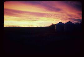
Image depicts a view of a sunset at an uncertain location, possibly in the Peace River Region.
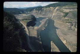
Image depicts a section of the Peace River blocked off by the W.A.C. Bennett Dam. The dam itself is not visible in the image.
Image depicts an unidentified woman with a camera sitting on the bank of a river.
