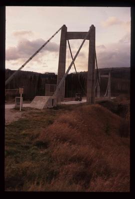
Image depicts a truck on a bridge, possibly crossing over the Peace River.
Peace River Region, BC
128 Archival description results for Peace River Region, BC
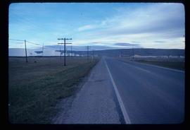
Image depicts a stretch of highway, possibly Highway 29 or 97.
Collection consists of 30 audio cassettes containing 46 interviews conducted primarily by radio & TV broadcaster Bob Harkins with local personalities. Most recordings were conducted at CJCI Studios, Prince George. The station was launched in 1970 by Central Interior Radio, broadcasting on 620 AM. In 1983, Central Interior also launched CIBC-FM in the city. Central Interior Radio was acquired by the Vista Broadcast Group in 2005.
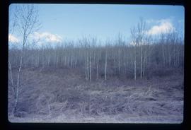
Harkins, BobImage depicts a forest of bare trees, possibly somewhere near Fort St. John, B.C.
Item is an orange bumper sticker with the BC Hydro logo and the words "I HAVE SEEN THE PEACE POWER PROJECT".
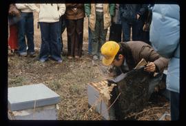
Image depicts a man in a yellow cap who appears to be blowing smoke into a bee colony at a bee farm. It appears to be an educational demonstration.
Item consists of transcript of interview with writer, film maker, and guide outfitter Andy Russell conducted by Bob Harkins at Prince George Radio Station, CJCI regarding Russell's experiences with guiding in Northern Rockies. Russell also discusses his new work The Life of a River and discusses the environmental impact of hydro-electric development on rivers
Harkins, BobItem consists of transcript and tape summary of interview with Elmer Nelson who discusses Axel Wenner- Gren's business interest in the Rocky Mountain Trench area of Northern British Columbia in the 1950s.
Harkins, BobItem consists of transcript and tape summary of interview with Tom Waller who discusses fire protection and forest fires in the Prince George and Peace River region.
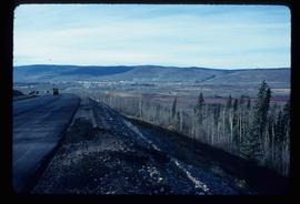
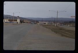
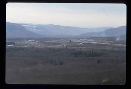
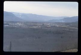
Harkins, BobImage depicts a view of Chetwynd, possibly from Highway 97.
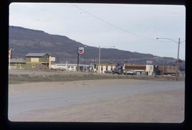
Image depicts a Chevron station as well as two motels in Chetwynd, B.C.
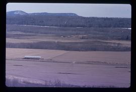
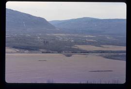
Image depicts a view of some farm land in Chetwynd, B.C.
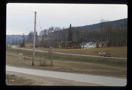
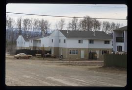
Image depicts several houses in Chetwynd, B.C.
Image depicts several businesses in a small section of Chetwynd, B.C. There is a motor hotel and a half-visible sign for an Esso gas station.
Image depicts a view of a saw mill in Chetwynd, B.C.
Image depicts a view of a saw mill in Chetwynd, B.C.
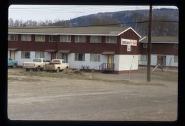
Image depicts a number of townhouses in Chetwynd, B.C.
Image depicts a number of townhouses in Chetwynd, B.C.
Image depicts a view of a train passing through an area of Chetwynd, B.C.
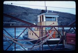
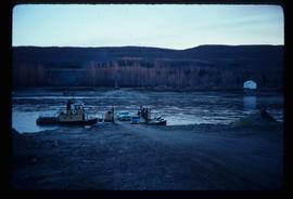
Image depicts the Clayhurst Ferry on the Peace River.
Image depicts the Clayhurst Ferry on the Peace River.
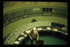
Image depicts what appears to be a computer room at an uncertain location, possibly in Fort St. John, B.C.
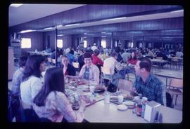
Image depicts a crowded cafeteria, most likely somewhere in Hudson's Hope, B.C. The slide is labelled "Camp at H.H."
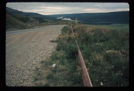
Image depicts a road with a guardrail and open fields somewhere near Dawson Creek, B.C.
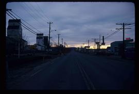
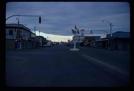
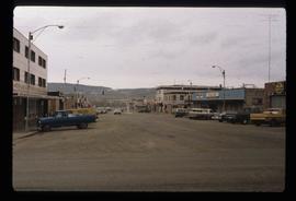
Image depicts a street of businesses in Dawson Creek, B.C.
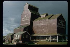
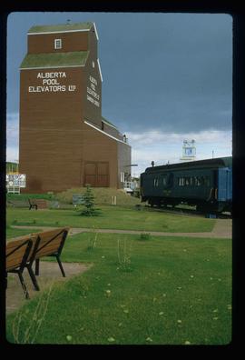
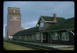
Image depicts a large building which is labelled "Alberta Pool Elevators Ltd. Dawson Creek," located in Dawson Creek, B.C.
Image depicts a large building which is labelled "Alberta Pool Elevators Ltd. Dawson Creek," located in Dawson Creek, B.C.
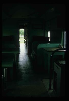
Image depicts the interior of what is possibly a heritage building in Dawson Creek, B.C.
Image depicts a street of businesses and Mile "0" of the Alaskan Highway in Dawson Creek, B.C.
Image depicts Mile "0" of the Alaskan Highway in Dawson Creek, B.C.
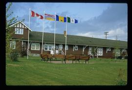
Image depicts the Station Museum in Dawson Creek, B.C.
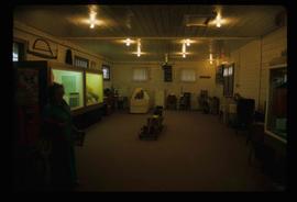
Image depicts the interior of the Station Museum in Dawson Creek, B.C.
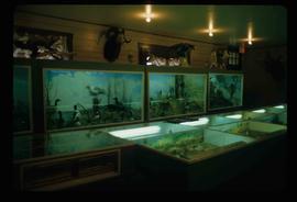
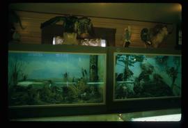
Image depicts stuffed wildlife exhibits inside the Station Museum in Dawson Creek, B.C.
Image depicts stuffed wildlife exhibits inside the Station Museum in Dawson Creek, B.C.
Image depicts the Station Museum and the "Alberta Pool Elevators Ltd." building in Dawson Creek, B.C.
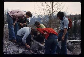
Image depicts a group of individuals who appear to be examining a rock. It is possibly part of an educational trip.
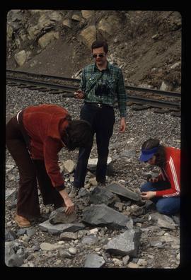
Image depicts three unidentified individuals examining rocks near a set of railway tracks at an uncertain location in the Peace River Region.
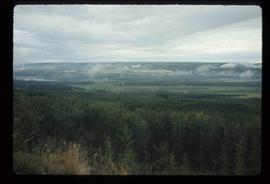
Image depicts an area of forests and fields somewhere near Fort St. John, B.C.
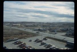
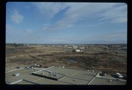
Image depicts a view of Fort St. John, B.C.
Image depicts a view of Fort St. John, B.C.
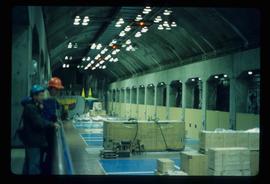
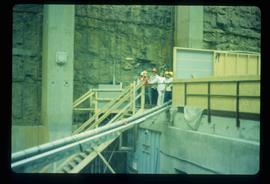
Image depicts two unidentified individuals in hard hats leaning against the railing of a large, open space inside an unknown concrete structure. It is possibly located in Fort St. John, B.C.
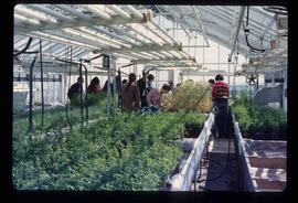
Image depicts a group of unidentified individuals in a greenhouse, possibly somewhere in Fort St. John, B.C.
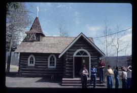
Image depicts several unidentified individuals exiting a church made of logs, possibly in Fort St. John, B.C.
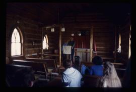
Image depicts several unidentified individuals inside of a church made from logs, possibly located in Fort St. John, B.C.
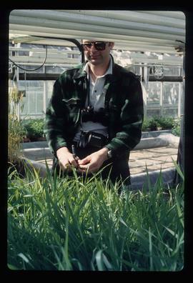
Image depicts an unidentified man in a greenhouse, possibly somewhere in Fort St. John, B.C.
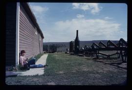
Image depicts numerous pieces of what appears to be old farming equipment. There is also an unidentified individual sitting aginst the side of a building. The location is possibly Fort St. John, B.C.
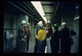
Image depicts a group of unidentified individuals wearing hard hats inside an unknown concrete structure, possibly located in Fort St. John, B.C.
Image depicts a group of unidentified individuals wearing hard hats inside an unknown concrete structure, possibly located in Fort St. John, B.C.
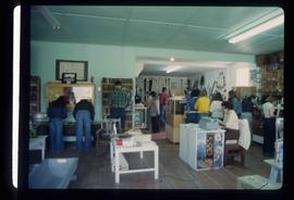
Image depicts the interior of a store, possibly in Fort St. John, B.C.
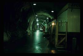
Image depicts a tunnel, possibly located somewhere in Fort St. John, B.C.
