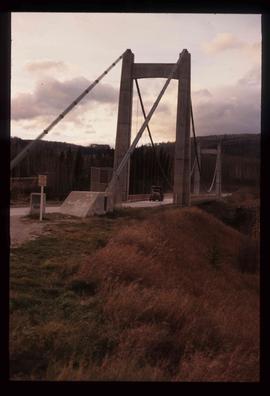
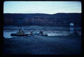
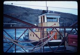
Image depicts a truck on a bridge, possibly crossing over the Peace River.
Peace River Region, BC
25 Archival description results for Peace River Region, BC
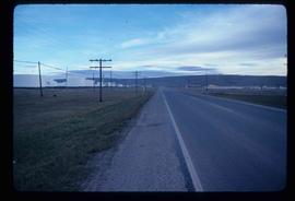
Image depicts a stretch of highway, possibly Highway 29 or 97.
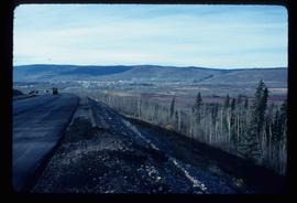
Image depicts a view of Chetwynd, possibly from Highway 97.
Image depicts a view of a train passing through an area of Chetwynd, B.C.
Image depicts the Clayhurst Ferry on the Peace River.
Image depicts the Clayhurst Ferry on the Peace River.
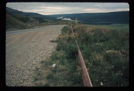
Image depicts a road with a guardrail and open fields somewhere near Dawson Creek, B.C.
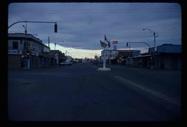
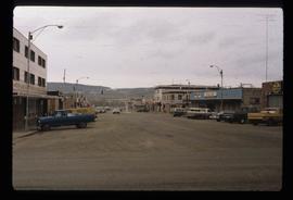
Image depicts a street of businesses and Mile "0" of the Alaskan Highway in Dawson Creek, B.C.
Image depicts Mile "0" of the Alaskan Highway in Dawson Creek, B.C.
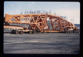
Image depicts a turbine on a large industrial vehicle somewhere in or near Fort St. John, B.C.
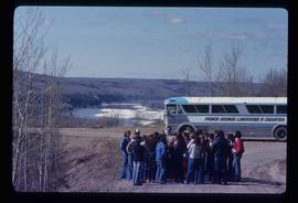
Image depicts a group of individuals and a bus with words that read: "Prince George Limousine & Charter." The river in the background is possibly the Peace River, and the location is possibly somewhere near Fort St. John, B.C.
Fonds consists of records relating to the personal, business and political life of H.G.T. Perry and as such, has been divided into the following four series: 1) Photographs; 2) Political Activities; 3) Business Ventures; 4) Personal Life; and 5) Miscellaneous Historical Information Files. Also includes material relating to his son, Frank Perry, and his failed political campaign. Includes World War II and Post-War printed materials.
Types of records included in this fonds include Speakers' Decisions (1877-1943) in the BC Legislative Assembly, maps, publications, reports, correspondence, advertisements, telegrams, resolutions, minutes, annual reports, telegrams, resolutions, reports, speeches, press releases, proposals, plans, charts, file notes, memoranda, newspaper clippings, scrapbooks, ephemera, postcards and photographs.
Perry, Harry G.T.Image depicts the W.A.C. Bennett Dam in Hudson's Hope, B.C.
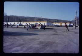
Image depicts a group of people throwing a frisbee in a parking lot at an uncertain location, likely in the Peace River Region.
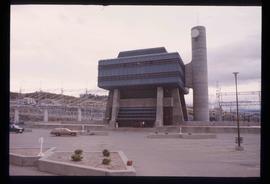
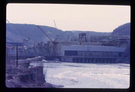
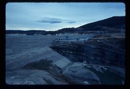
Image depicts the Peace Canyon Dam and generating station under construction on the Peace River.
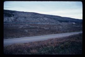
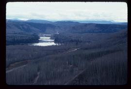
Image depicts what is possibly the Peace River running parallel to a road, possibly Highway 29.
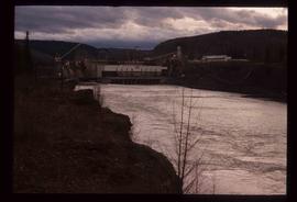
Image depicts a dam, possibly on the Peace River.
Image depicts a dam on what is possibly the Peace River.
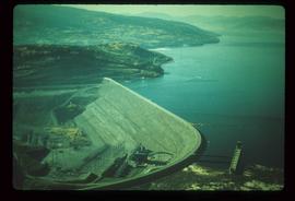
Image depicts the W.A.C. Bennett Dam on the Peace River in Hudson's Hope, B.C.
Series consists of photographs relating to Ray Williston's life from childhood to recent times, air photographs of Prince George, photographs of Bangladesh, and a listing of photographs slated for use in Mr. Williston's biography "Forests, power and policy: the legacy of Ray Williston" written by Eileen Williston and Betty Keller.
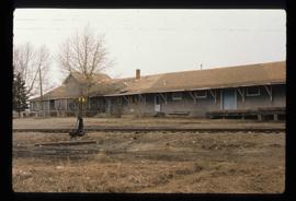
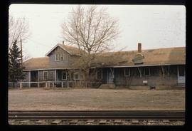
Image depicts a set of railway tracks and a long building located somewhere in the Peace River Region.
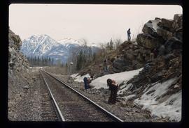
Image depicts a group of individuals who appear to be searching through the rocks near a railway track. It is possibly part of an educational trip.
Image depicts a set of railway tracks, and a building with a sign which reads: "Telegraphs." The location is uncertain, but possibly in the Peace River Region.
Image depicts the W.A.C. Bennett Dam on the Peace River in Hudson's Hope, B.C.
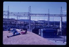
Image depicts several unidentified individuals lying on a hill outside what is most likely the W.A.C. Bennett Dam in Hudson's Hope, B.C.
