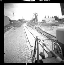
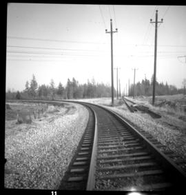
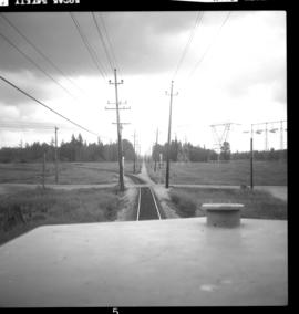
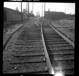
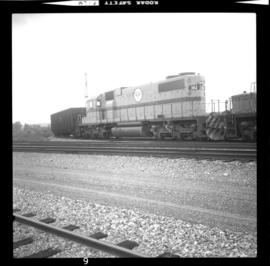
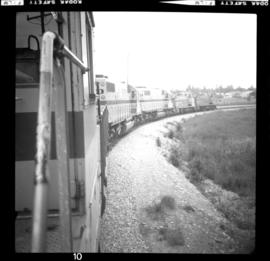
Photograph taken from the cab of locomotive #382 on the eastbound freight travelling from New Westminster to Huntingdon and was composed of 45 cars. Langley was the only place where freight stopped and switched cars.
Langley, BC
11 Archival description results for Langley, BC
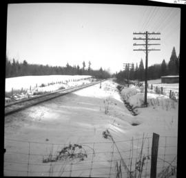
Photograph taken on the western outskirts of Langley on the Latimer Road grade crossing. The abandoned grade was the former main line right-of-way through the centre of Langley. It was was replaced by a north by-pass in about 1968-69.
Photograph taken approaching Langely from the west at about mile 16 at the by-pass diversion point. Image captured from the cab of locomotive #382, looking eastward as the locomotive pulled 45 freight cars to Huntingdon.
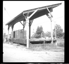
Photograph taken looking southwest at the Langley town centre. Fraser Highway was 2 pole lengths away. The track used to be the main line with a spur leading to the right. Now all of the trackage was spur with the main line skirting the north side of the city.
Photograph depicts locomotive #382 which consisted of 3 locomotives and switching cars at an industrial steel fabrication plant. Freight was travelling from New Westminster to Huntingdon.
Photograph depicts the view of a freight train named "Extra 382-East" that travelled from New Westminster to Huntingdon.
Photograph depicts the passing loop and goods shed found at the Milner Siding. The main line had just been uprgaded to take coal units trains to Roberts Bank.
Photograph depicts the grade crossing at Topham Road in the community of Walnut Grove within Langley, BC
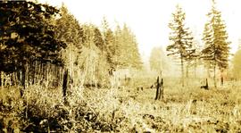
Photograph depicts a roughly cleared area with large trees on the perimeter. Handwritten annotation below photograph reads, "Langley B.C.".
File consists of a speech given by Gary Runka entitled "Landscape Level Planning - Fitting People into the Watershed" at the Stewarding Our Watersheds Conference.
Commentary on this speech by Barry Smith of the Ministry of Agriculture and Lands:
"The first half of this speech takes a very broad sweep in defining landscape units and the provincial planning system. In the second section "Entering the People Use Maze", the paper focuses more locally on the Salmon River watershed and discusses the findings of a survey associated with the Langley Rural Plan.
The survey results demonstrated that for both rural and non-rural residents in Langley, 'the country atmosphere' was why they had chosen to live in Langley. Residents also disagreed with the statement that it was unpleasant to live in an agriculture area.
The third section - "Techniques of Integrating Balanced, Sustainable People Use" into the Watershed" considers eight tools that will assist achieving "landscape level" planning, one of which is the ALC Act.
Besides these direct references to agriculture, country atmosphere and ALC Act; the Langley Rural Plan drew heavily on the survey that GGR refers to and the Plan, which was largely comprised of agricultural lands, was inspirational in the development of the Commission of work "Planning for Agriculture".
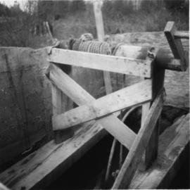
Photograph depicts a windlass over a shallow well used for cattle water supply. Found 1 mile north of the USA/Canadian border, south of Langley and north of Blaine.
