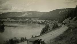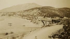
2020.05.01
·
Item
·
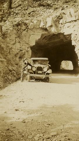
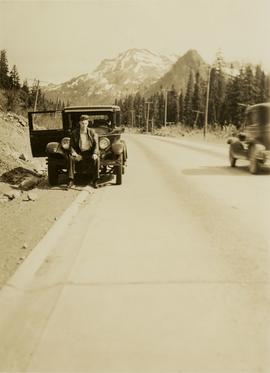
6 June 1936
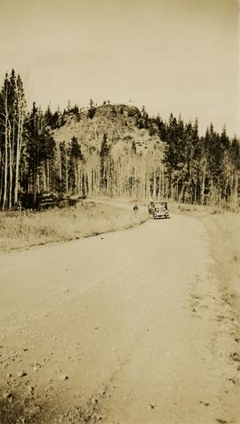
Part of Gordon Wyness Album
Photograph depicts a man, likely Gordon Wyness, sitting on the front of a 1930 Buick Series 40 car at the Snoqualmie Pass summit.