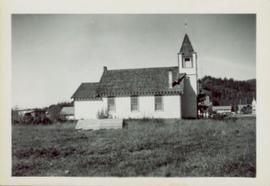
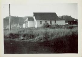
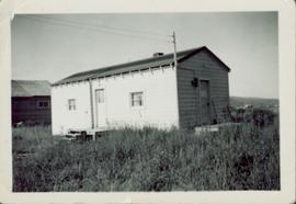
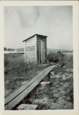
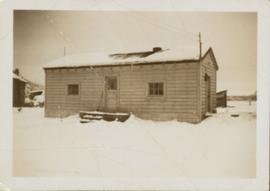
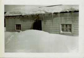
2006.20.10.6
·
Item
·
[ca. 1930 - 1940]
Part of Northern BC Archives Historical Photograph Collection
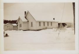
Overview of Giscome, BC showing built and natural landscape.
Handwritten annotation in pencil on verso: "Bunkhouse & Dining Room / Giscome BC".