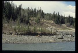
Image depicts a small section of the Alaska Highway somewhere near Whitehorse, Y.T. The slide also appears to be labelled "army washing" for unknown reasons.
Yukon Territory
14 Archival description results for Yukon Territory
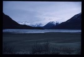
Image depicts Bennett Lake near Carcross, Y.T.
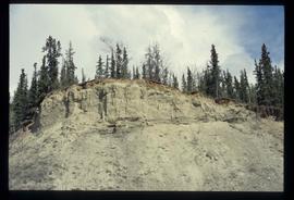
Image depicts what appears to be an eroding rock face. The slide itself is labelled "ash loger at top" for unknown reasons. Possibly located somewhere near Whitehorse, Y.T.
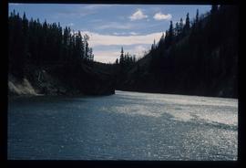
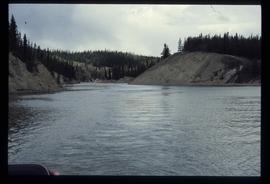
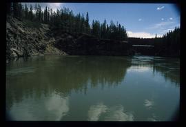
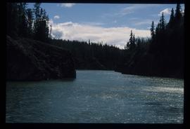
Image depicts a river in the Miles Canyon near Whitehorse Y.T.
Image depicts a river at an uncertain location, but possibly in Miles Canyon near Whitehorse, Y.T.
Image depicts the river which runs through Miles Canyon, located near Whitehorse Y.T.
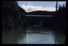
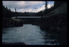
Image depicts a river in the Miles Canyon near Whitehorse Y.T. The Robert Lowe Bridge, built in 1922, can be seen over the canyon.
Image depicts a river in the Miles Canyon near Whitehorse Y.T.
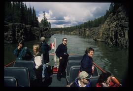
Image depicts several unidentified individuals on a boat in the Miles Canyon near Whitehorse Y.T.
Image depicts the Robert Lowe Bridge, built in 1922, in the Miles Canyon near Whitehorse Y.T.
Image depicts the Robert Lowe Bridge, built in 1922, in the Miles Canyon near Whitehorse Y.T.
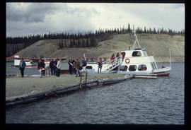
Image depicts numerous unidentified individuals getting off a boat which bears the name "Schwatka." It is located somewhere in Miles Canyon.
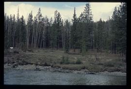
Image depicts numerous trees on the bank of a river, possibly in Miles Canyon near Whitehorse, Y.T. The slide is labelled "canyon city."
File contains slides depicting locations along the White Pass railway through Alaska, British Columbia, and the Yukon Territories.
