Yukon Territory

Elements area

Taxonomy

Code

Scope note(s)

    Source note(s)

      Display note(s)

        Hierarchical terms

        Yukon Territory

          Equivalent terms

          Yukon Territory

            Associated terms

            Yukon Territory

              356 Archival description results for Yukon Territory

              356 results directly related Exclude narrower terms
              2023.2.2.8.14 · File · 2004
              Part of Dr. Paul Sanborn fonds

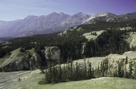
              Slide roll contains the following photographs:

              Thorsen Bay
              Print roll 11, #01-2A; slide roll 6, #12-10

              Y04-19 (27.5 km on Cultus Bay Rd., near Thorsen Bay)
              Date: July 22, 2004
              Location Coordinates: 61º 12’ 3.0” N, 138º 28’ 58.3’ W, 819 m asl (± 18.9 m)
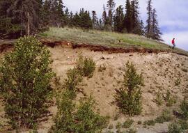
              Site Description: Roadcut at base of 30º, E-facing slope. Colluviated loess overlies sandy glaciofluvial at 120 cm. Prominent paleosol with “cumulic” B horizon at 80-120 cm, with strong effervescence throughout exposure.
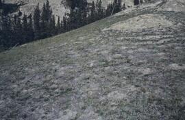
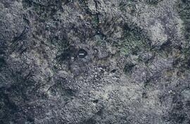
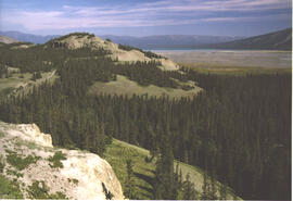
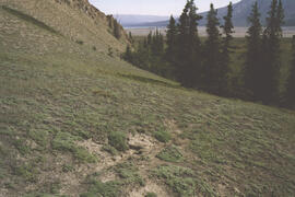
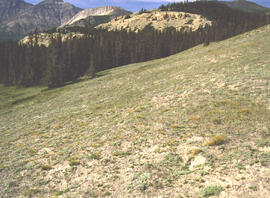
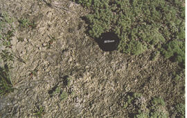
              Slide roll 6, #9-7 (profile), #6-1 (landscape)
              Corresponding prints and negatives: Print roll 11, #3A-5A (profile), #6A-10A (landscape)

              2023.2.2.8.15 · File · 2004
              Part of Dr. Paul Sanborn fonds

              Slide roll contains the following photographs:

              Y04-19 (27.5 km on Cultus Bay Rd., near Thorsen Bay)
              Date: July 22, 2004
              Location Coordinates: 61º 12’ 3.0” N, 138º 28’ 58.3’ W, 819 m asl (± 18.9 m)
              Site Description: Roadcut at base of 30º, E-facing slope. Colluviated loess overlies sandy glaciofluvial at 120 cm. Prominent paleosol with “cumulic” B horizon at 80-120 cm, with strong effervescence throughout exposure.
              Sample Depths & Descriptions: Y04-19-01 – charcoal at 95 cm
              Roadcut opposite ~ 30 m to NE on grassy S aspect (10° slope) with 15-20 cm of calcareous loess and sand over 2 cm White River ash; strongly effervescent throughout.
              Slide roll 7, #36-35 (profile)
              Corresponding prints and negatives: Print roll 11, #11A-12A (profile)

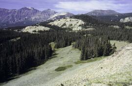
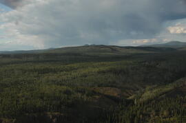
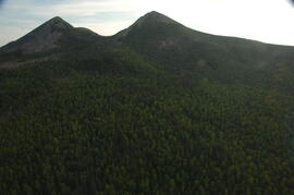
              Thorsen Bay landscape
              Slide roll 7, #34-32
              Corresponding prints and negatives: Print roll 11, #13A-16A

              Y04-20B
              Date: July 22, 2004
              Location Coordinates: 61º 10’ 16.5” N, 138º 26’ 18.7’ W, 797.5 m asl (± 5.9 m)
              Site Description: wind-eroded Slims soil on glaciolacustrine with contorted bedding (exposed on blown-out roadcut); calcareous to surface; White R ash pockets at 10-20 cm; S aspect, 5° slope.
              Slide roll 7, #31-26
              Corresponding prints and negatives: Print roll 11, #17A-21A

              Y04-22
              Date: July 22, 2004
              Location Coordinates: 61º 9’ 39.24” N, 138º 25’ 7.8’ W, 790.6 m asl (± 6.4 m)
              Site Description: toe of 30° slope, W aspect (grassy slope with poplar at toe); 1.0-1.2 of colluviated loess over gravelly glaciofluvial with buried soil at 70-80 cm
              Slide roll 7, #25-24
              Corresponding prints and negatives: Print roll 11, #22A-24A

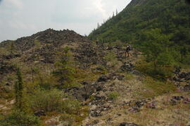
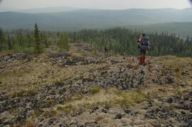
              Cultus Bay Rd.
              (landscape views looking W from road; lake is likely at ~61°4’ 10.5”N, 138°22’ 31.5”)
              Slide roll 7, #23-22
              Corresponding prints and negatives: Print roll 12, #0A-2A

              Y04-26 (EW)
              Date: July 23, 2004
              Location Coordinates: 61º 1’ 59.8” N, 138º 21’ 53.6” W, 836.1 m asl (± 7.7 m)
              Site Description: grassland at crest of 33° terrace scarp, S aspect.
              Sample Depths & Descriptions: Y04-26-01 – 0-10 cm
              Slide roll 7, #21-20
              Corresponding prints and negatives: Print roll 12, #14A-15A

              Y04-27
              Date: July 23, 2004
              Location Coordinates: 61º 2’ 0.9” N, 138º 21’ 53.6” W, 843.6 m asl (± 5.8 m) (~ 35 m N of Y04-26)
              Site Description: spruce forest on terrace surface; level.

              • 0-8 cm - Loess-rich forest floor; strongly calcareous.
              • 8-13 cm - Bmk
              • 13-15 cm - Discontinuous pockets of White R ash
              • 15-35 cm - Bmk (Slims soil) – no charcoal visible
              • 35-75 cm - Gray calcareous loess.
              • 75 cm+ - Gravelly sandy glaciofluvial deposit.
                Slide roll 7, #19-18
                Corresponding prints and negatives: Print roll 12, #16A-17A

              Y04-28 (EW)
              Date: July 23, 2004
              Location Coordinates: 61º 2’ 34.4” N, 138º 21’ 57.0” W, 820.2 m asl (± 6.1 m)
              Site Description: grassland on esker crest W of Jenny L; 30° slope, SW aspect
              Sample Depths & Descriptions: Y04-28-01: 0-10 cm
              Slide roll 7, #17-16
              Corresponding prints and negatives: Print roll 12, #18A-19A

              Y04-30 (between eskers, W of Jenny Lake)
              Date: July 23, 2004
              Location Coordinates: 61º 2’ 31.6” N, 138º 21’ 52.3’ W, 817.6 m asl (± 6.1 m)
              Site Description: Level (base of saddle). Colluviated loess to 90 cm+, with White River tephra at 15-17 cm, brownish paleosol at 17-35 cm, underlain by turbated Bmku with multiple charcoal-rich bands.
              Sample Depths & Descriptions:

              • Y04-30-01 – charcoal at 13 cm (above WR tephra)
              • Y04-30-02 – charcoal at 22 cm (below WR tephra)
              • Y04-30-03 – charcoal at 75 cm
                Slide roll 7, #15-13
                Corresponding prints and negatives: Print roll 12, #20A-22A

              Y04-31 (EW)
              Date: July 23, 2004
              Location Coordinates: 61º 3’ 9.2” N, 138º 21’ 30.3’ W, 837.2 m asl (± 6.4 m)
              Site Description: crest of N-S esker ridge
              Sample Depths & Descriptions: Y04-31-01: 0-10 cm
              Slide roll 7, #12-11
              Corresponding prints and negatives: Print roll 13, #1-3

              Y04-32
              Date: July 23, 2004
              Location Coordinates: 61º 3’ 7.4” N, 138º 21’ 27.7’ W, 823.7 m asl (± 13.7 m)
              Site Description: toeslope on NE side of same ridge as for Y04-31; 20° slope, NE aspect; Cryosol with permafrost at 34 cm; 30 cm of forest floor organic horizons; abundant charred wood fragments at top of mineral soil & in lowest part of organic horizon.
              Slide roll 7, #10-9
              Corresponding prints and negatives: Print roll 13, #4-5

              Y04-34
              Date: July 23, 2004
              Location Coordinates: 61º 3’ 47.7” N, 138º 21’ 2.5’ W, 838 m asl
              Site Description: Toe of 30º, W-facing grassland slope. Colluviated loess with White River tephra at 8-9 cm, brownish paleosol (9-35 cm), overlying sandy glaciofluvial at 35-70 cm+.
              Sample Depths & Descriptions: Y04-34-01: charcoal at 34 cm
              Slide roll 7, #8-7
              Corresponding prints and negatives: Print roll 13, #6-7

              Y04-35 (EW)
              Date: July 23, 2004
              Location Coordinates: 61º 3’ 49.9” N, 138º 21’ 1.1” W, 854.4 m asl (± 6.3 m)
              Sample Depths & Descriptions: Y04-35-01: 0 – 10 cm
              Slide roll 7, #6-5
              Corresponding prints and negatives: Print roll 13, #8-10
              (Location not recorded: Print roll 13, #11-12)

              Y04-36
              Date: July 23, 2004
              Location Coordinates: 61º 8’ 11.5” N, 138º 25’ 50.8” W, 825.6 m asl (± 14.5 m)
              Site Description:

              • 10-0 cm - LF
              • 0-15 cm - Bmk1 (7.5YR 4/6 m)
              • 15-28 cm - Bmk2 (2.5Y 4/3 m)
              • 28-48 cm - Ck
              • 48-55 cm+ - IICk (sandy gravelly glaciofluvial)
              • No charcoal visible in mineral horizons
                Slide roll 7, #4-3
                Corresponding prints and negatives: Print roll 13, #13-14

              Y04-37
              Date: July 23, 2004
              Location Coordinates: (roadcut adjacent to Y04-36)
              Site Description: multiple colour bands in Slims soil; some charcoal blobs (not sampled) which are right size to have been roots.
              Slide roll 7, # 2-1
              Corresponding prints and negatives: Print roll 13, #15-19
              2023.2.2.8.06 · File · 2003-2014
              Part of Dr. Paul Sanborn fonds

              File consists of the following data sets:

              • Kluane crust Min N (2003) S671FINL.xls [mineralizable nitrogen for biological soil crusts & upper mineral soil, 2003 samples]
              • Kluane Crust samples (2004) moisture contents.xls [moisture content of air-dry 2004 crust samples from Peninsula & Silver City sites; sampling procedures & locations in Marsh et al. (20060]
              • Kluane Soil Crusts (2004) chemical analyses.xls [consolidated file of chemical data for 2004 crust samples from Peninsula & Silver City sites]
              • Kluane 2003 soil & crust 15N data.xls [15N natural abundance, total N, organic & inorganic C for 2003 crust & upper mineral soil samples]
              • Kluane 2003 soil data.xlsx [consolidated file of chemical data for 2003 crust and mineral horizon soil samples]
              • Kluane Crust 2004 total C & N data.xls
              • Kluane AMS dates (2003-2008 charcoal samples).xls [radiocarbon dates from the University of Arizona Accelerator Mass Spectrometry Lab]
              • Kluane soil transect - texture data.xls [2009 soil particle size analysis data, with potential lithological breaks highlighted]
              • Kluane surveys 2009.xls [topographic surveys for 3 soil transects cutting across eskers along Cultus Bay Rd., SE shore of Kluane L.]
              • S1061_1069_Final_Rev1.xls [lab data report from Ministry of Forests Analytical Chemistry Laboratory for 2009 transect samples: total C, inorganic C, & total N]
              • 100812003 (annotated) -corrected.xls [2009 transect samples: particle size analysis data report from CANTEST]
              • Kluane soil transect - master data file.xls
              2023.2.2.6.3 · File · 1983-2009
              Part of Dr. Paul Sanborn fonds

              During the 1980s, Agriculture Canada pedologists Scott Smith (retired from Summerland Research Station, formerly based in Whitehorse) and Charles Tarnocai (retired from Central Experimental Farm, Ottawa) had a large field program which addressed the trends in soil development in the central Yukon. Across this region, particularly between Whitehorse and Dawson City, the land surfaces and surficial deposits vary greatly in age due to the differing extents of glaciations over the past ~2 million years.

              Tarnocai and Smith shared the unpublished data and soil samples from this work with Dr. Paul Sanborn, and this resulted in a student project published as:
              Daviel, E., P. Sanborn, C. Tarnocai, and C.A.A. Smith. 2011. Clay mineralogy and chemical properties of argillic horizons in central Yukon paleosols. Canadian Journal of Soil Science 91: 83-93. https://doi.org/10.4141/cjss10067

              This data set consists of transcribed data from lab data sheets, showing McQuesten-Dawson City paleosol data from the Tarnocai and Smith 1983 AAFC Yukon Paleosol Study. The data set includes chemical and particle size data for Tarnocai & Smith samples, as determined by the Ag Canada lab. Note that the “Site” column indicates the NTS topographic map sheet (e.g. 115P/13) for the sampling locations.

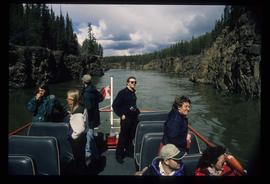
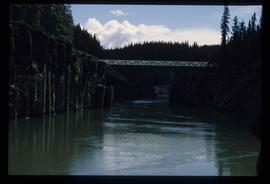
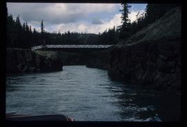
              Miles Canyon - A River
              2012.13.1.98.65 · Item · 1999
              Part of J. Kent Sedgwick fonds

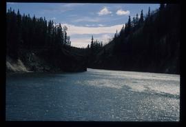
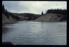
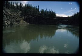
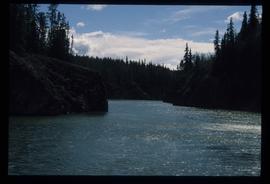
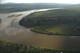
              Image depicts a river in the Miles Canyon near Whitehorse Y.T. The Robert Lowe Bridge, built in 1922, can be seen over the canyon.

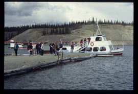
              Miles Canyon - the Schwatka
              2012.13.1.98.61 · Item · 1999
              Part of J. Kent Sedgwick fonds

              Image depicts numerous unidentified individuals getting off a boat which bears the name "Schwatka." It is located somewhere in Miles Canyon.

              Miles Canyon? - Trees
              2012.13.1.98.57 · Item · 1999
              Part of J. Kent Sedgwick fonds

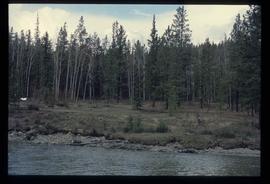
              Image depicts numerous trees on the bank of a river, possibly in Miles Canyon near Whitehorse, Y.T. The slide is labelled "canyon city."

              Robert Service Recording
              2000.21.1.1 · Item
              Part of Jack Carbutt Collection

              Item is a re-recording of Robert Service, poet reciting his poetry as re-broadcast on Jack Carbutt's radio show; recording includes Service's poems "The Shooting of Dan McGrew" and " The Cremation of Sam McGee" recordings dated 1943[?].