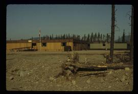
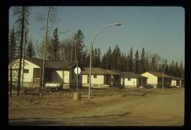
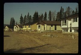
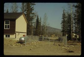
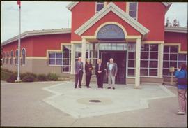
Image depicts the Tumbler Ridge School.
Tumbler Ridge, BC
24 Archival description results for Tumbler Ridge, BC
Movie is a promotional video by the Tumbler Ridge Housing Corporation, which includes news footage from CTV about the sale.
Collection includes approximately 940 slides taken during the construction of the Tumbler Ridge Electric Railway during the early 1980s. Locations include the Anzac siding, the BC Rail Stuart subdivision, the Chetwynd subdivision, the Parsnip River area, Quintette, the Table River area, railway pipeline crossings, and the Wolverine River area, among others.
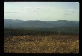
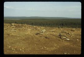
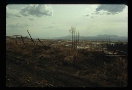
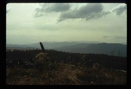
Image depicts a view of the scenery in Tumbler Ridge, B.C.
Image depicts a view of the scenery in Tumbler Ridge, B.C.
Image depicts a view of the scenery in Tumbler Ridge, B.C.
Image depicts a view of the scenery in Tumbler Ridge, B.C.
File contains slides depicting Tumbler Ridge.
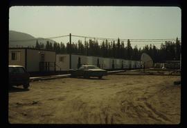
Image depicts a number of trailer homes in Tumbler Ridge, B.C.
Image depicts a number of trailer homes in Tumbler Ridge, B.C.
Image depicts Quadra Ventures Industrial Lodge in Tumbler Ridge, B.C.
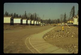
Image depicts a row of houses in Tumbler Ridge, B.C.
Image depicts a row of houses in Tumbler Ridge, B.C.
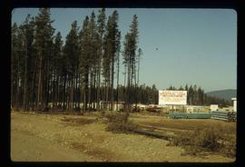
Image depicts a construction area somewhere in Tumbler Ridge, B.C.
Chancellor Campagnolo stands with man believed to be the mayor of Tumbler Ridge, President Geoffrey Weller, and Dean Fred Gilbert. Photograph was taken during the chancellor's tour of the Peace-Liard Region, 1993.
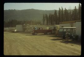
Image depicts numerous campers and other vehicles in Tumbler Ridge, B.C.
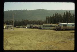
Image depicts numerous campers and other vehicles in Tumbler Ridge, B.C.
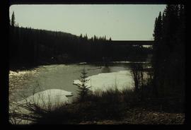
Image depicts a river in Tumbler Ridge, B.C. The bridge crossing it appears to be either half-missing or incomplete.
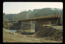
Image depicts a bridge under construction in Tumbler Ridge, B.C.
Subseries contains material collected and created by Kent Sedgwick for research on various areas in British Columbia and Alberta. Includes written notes by Kent Sedgwick, pamphlets, and newspaper clippings relating to towns and settlements. These areas include Quesnel, Likely, the Yukon Telegraph Trail, Barkerville, Wells, the Cariboo region, Fort Alexandria, Soda Creek, the Chilcotin region, Jasper, the Rocky Mountains, Mackenzie, Tumbler Ridge, the Peace River region, Fort St. James, the Omineca region, Kitimat, Lethbridge, the Bulkley Valley, and Fort Mcleod. These files cover a variety of topics including Chinese people in British Columbia, land settlement, tourism, and historic information on the regions.
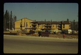
Image depicts an apartment building in Tumbler Ridge, B.C.
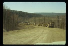
Image depicts a road somewhere in Tumbler Ridge, B.C. There are numerous construction vehicles present.
Image depicts a road somewhere in Tumbler Ridge, B.C. There are three bush planes in the image.
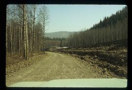
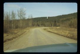
Image depicts a road somewhere in Tumbler Ridge, B.C.
