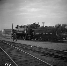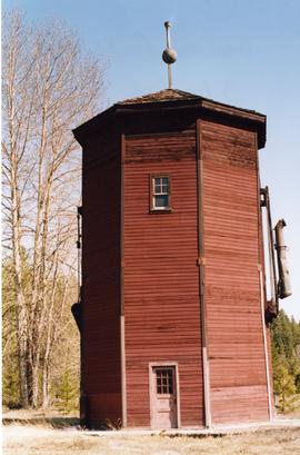
2013.6.36.1.108.04
·
Item
·
9 Apr. 2004
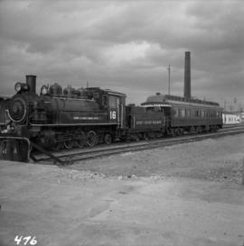
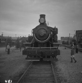
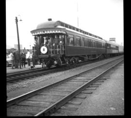
Part of David Davies Railway Collection
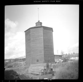
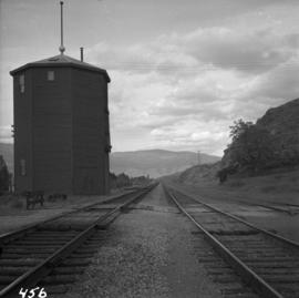
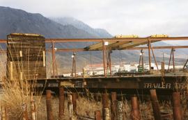
Photograph depicts a preserved 2-spouted water tank. It was not on its original site.