Title and statement of responsibility area
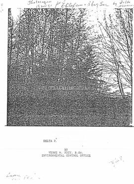
Title proper
General material designation
Cartographic material
Textual record
Parallel title
Other title information
Title statements of responsibility
Title notes
Level of description
Reference code
Edition area
Edition statement
Edition statement of responsibility
Class of material specific details area
Statement of scale (cartographic)
Statement of projection (cartographic)
Statement of coordinates (cartographic)
Statement of scale (architectural)
Issuing jurisdiction and denomination (philatelic)
Dates of creation area
Date(s)
-
1943-2015 (Creation)
- Creator
- Hazelwood, W. Grant
Physical description area
Physical description
- 1.25 m of textual records
- 22 maps
Publisher's series area
Title proper of publisher's series
Parallel titles of publisher's series
Other title information of publisher's series
Statement of responsibility relating to publisher's series
Numbering within publisher's series
Note on publisher's series
Archival description area
Name of creator
Biographical history
Grant Hazelwood was a wildlife biologist who had an extensive career in Northern and Central British Columbia with BC Parks, Northwood Pulp & Timber Ltd., the BC Ministry of Environment, and his own consultancy business Alpenglow Resources Ltd. He also served as Director of the B.C. Wildlife Federation and as Manager of the Deep Creek Hatchery in Terrace, BC. Hazelwood was also active with the Terrace Salmonid Enhancement Society and other environmental non-profit organizations.
Custodial history
Scope and content
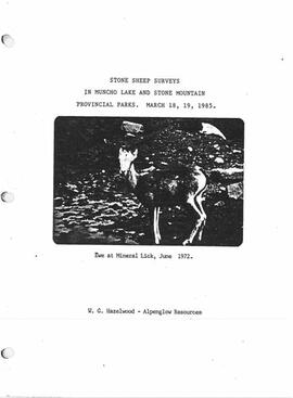
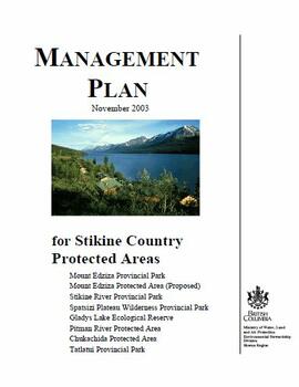
Fonds consists of material created and collected by wildlife biologist Grant Hazelwood in relation to his work and research regarding wildlife, habitat, and wilderness parks. Includes material regarding Hazelwood's Tailed Frog (Ascaphus truei) research. Also includes records regarding his contracted biologist work via his consultancy business, Alpenglow Resources, on the BC Ministry of Environment's "Upper Nass Assessment Project", a project that included the biophysical mapping of the Northwest-Klappan Road Access Area.
Notes area
Physical condition
Immediate source of acquisition
Arrangement
Arranged by the archivist.
Language of material
English
Script of material
Location of originals
Availability of other formats
Some digitized versions of reports in this fonds are available through the BC EcoCat Ecological Reports Catalogue. This material has not been digitized by Northern BC Archives and access is provided via links to EcoCat.
Restrictions on access
No restrictions.
Terms governing use, reproduction, and publication
Personal or academic use of materials is welcomed under the standard fair dealing and educational use clauses of Canadian Copyright Law. Commercial use is, however, forbidden without the express permission of the copyright holder. For information on obtaining written permission from the copyright holder, please contact the Northern B.C. Archives and Special Collections.