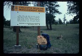
Image depicts a sign titled "Chilcotin Wildlife Management Area" somewhere near Riske Creek, B.C. It reads: "This trail has been provided by the Fish and Wildlife Branch in co-operation with Riske Creek Ranching Ltd., as access to the Chilcotin Wildlife Management Area. Please do not leave the the trail as the surrounding land is private property."
Riske Creek, BC
6 Archival description results for Riske Creek, BC
6 results directly related
Exclude narrower terms
2012.13.1.65.07
·
Item
·
May 1975
Part of J. Kent Sedgwick fonds
2012.13.1.065
·
Subseries
·
[between 1974 and 1984]
Part of J. Kent Sedgwick fonds
File contains slides depicting places in and around the Junction Sheep Range Provincial Park south-west of Williams Lake.
2012.13.1.65.05
·
Item
·
May 1975
Part of J. Kent Sedgwick fonds
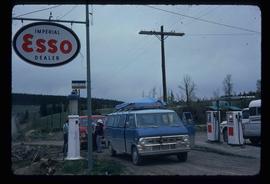
Image depicts the Esso gas station in Riske Creek, B.C.
2012.13.1.65.06
·
Item
·
May 1975
Part of J. Kent Sedgwick fonds
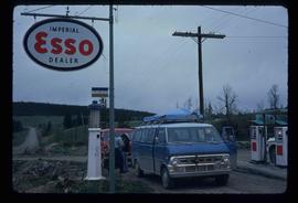
Image depicts the Esso gas station in Riske Creek, B.C.
2012.13.1.65.03
·
Item
·
Aug. 1974
Part of J. Kent Sedgwick fonds
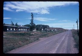
Image depicts Riske Creek, B.C. The brown building on the left is the local school.
2012.13.1.65.04
·
Item
·
May 1975
Part of J. Kent Sedgwick fonds
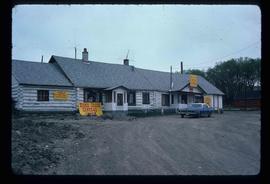
Image depicts the "Riske Creek General Store" in Riske Creek, B.C.
