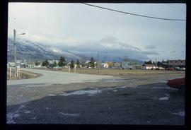
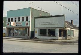
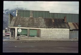
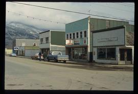
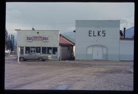
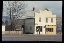
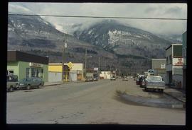
Image depicts McBride, B.C.
McBride, BC
9 Archival description results for McBride, BC
Image depicts an abandoned building on the corner of a street in McBride, B.C.
Image depicts an abandoned building on the corner of a street in McBride, B.C. The faded letters on the side read: "McBride Trading Co. Mens Wear, Drugs, Equipment."
Image depicts a street in McBride, B.C. One of the store signs reads "Allied Hardware."
Image depicts the Elks Hall in McBride, B.C.
Image depicts a machine shop somewhere in McBride, B.C. The sign above the door reads "McBride Air Cooled Engine Services Ltd."
Image depicts a street in McBride, B.C.
File contains postcard photographs portraying life in various Northern BC Communities. Images depict buildings and streets, church structures, harbours and docks, and views of the shore from the water to name a few.
This photograph album consists of photographs of remote police barracks at Mile 47 and Mile 29; early settlements and/or mercantile stores at Tete Jaune Cache, McBride, Sand Creek, Fort George and South Fort George; Grand Trunk Pacific Railway forestry and railway camps; scows and paddlewheel conveyors on the Fraser River; automobiles; community leisure activities; as well as, images of the Bourchier family. The following South Fort George establishments are identifiable within these photographs: Empress Hotel, Ah Yee General Merchant, German Bakery, Northern Hotel, South Fort George Drug Store & Post Office, St. Michael’s Church, Prince George Hotel, Ford Monarch dealership, Astoria Hotel, and King George V Elementary School. Identified geographic locations featured in these photographs include: Tete Jaune, Upper Fraser, Mile 47, Mile 29, Fraser River, Mt. Robson, McBride, Sand Creek, Glacier Mountain, Moose River, Giscome Portage, Pott Falls, Red Deer River, Grand Canyon, Summit Lake, Canoe Pass, Connaught Hill, Nechako Bridge, and Island Cache.
Bourchier, Alan K.