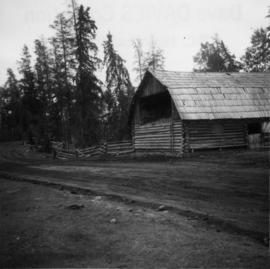
Photograph depicts a barn attached to Watch Lake Lodge, a dude ranch.
Lone Butte, BC
8 Archival description results for Lone Butte, BC
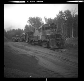
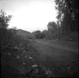
Photograph depicts a gravel filled spur. A train of about a dozen hopper cars are being loaded.
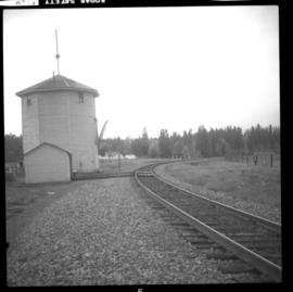
Photograph depicts the Lone Butte flag station.
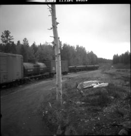
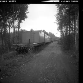
Photograph depicts various work spurs. The spur on the left of the image is a work train, behind it is a running loop. The spur on the right led to a gravel pile. Not shown is the spur which was used for loading equipment like carts and shovels.
Photograph depicts various spurs. One spur was for a work crew train, another led to a gravel pile as well as one which was located at the far end and was for loading heavy equipment onto flat cars. A passing loop to the main line can be seen in the background.
Photograph depicts a gravel filled spur. A train of about a dozen hopper cars are being loaded by locomotive # 625.
In 1936, Gordon Young Wyness was employed by Philip M. Monckton, a B.C. Land Surveyor. Between June 5 and October 8, Wyness joined Monckton and a group of others on a land survey expedition in northwestern BC. The survey crew travelled to various locations in the area including Telkwa, Hazelton, Burns Lake, Francoise Lake, Vanderhoof, Prince George, Quesnel, Lytton, and Hope. Wyness documented their journey in this photograph album. Based on the photographs, it appears that the crew led by Philip Monckton consisted of Jack Lee and Gordon Wyness; Mrs. Lavender Monckton (nee O'Hara) also accompanied the group.
In addition to the 50 photographs included in the album, this collection also includes five additional unique photographs that accompanied the album.
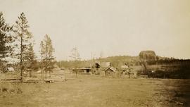
Wyness, Gordon YoungPhotograph depicts a view of Lone Butte, BC. The butte formation of the same name (Lone Butte) is visible in the background; a ranch or residence is visible in the foreground. Wyness notes that Lone Butte was the "last one [they] tied in". "Tying in" is a land surveying technique. Since the photograph is dated October 1936 and Wyness described the survey trip as lasting June 5 - October 8, 1936, that implies that Lone Butte was the last location they surveyed on this trip.
