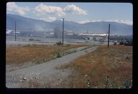
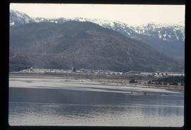
Image depicts the Alcan smelter in Kitimat, B.C.
Kitimat, BC
20 Archival description results for Kitimat, BC
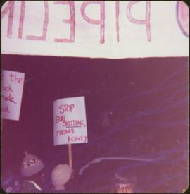
Sign in foreground reads: “Stop Bull Shitting, [Phoney (crossed out)] Ioney”.
Handwritten annotation on verso reads: “The Kitimat Oil Port Environmental Lobby, didn’t believe I killed it. I did!”
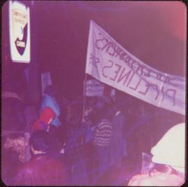
Semi-visible sign reads: “Supertanks - Pipelines S.O.S.”
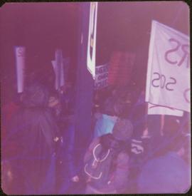
Photograph depicts crowd with individuals holding protest signs.
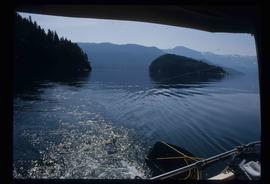
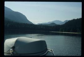
Image depicts what is possibly either the Hecate Strait or Minette Bay from somewhere near Kitimat, B.C.
Image depicts what is possibly either the Hecate Strait or the Minette Bay from somewhere near Kitimat, B.C.
Publication contains an "Interim Submission of Kitimat Oil Coalition to West Coast Oil Ports Inquiry" published in Vancouver, BC.
File contains slides depicting places in Kitimat, B.C.
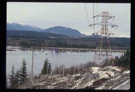
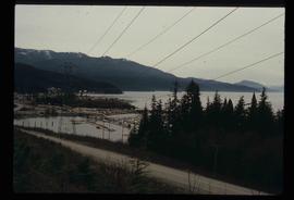
Image depicts a view of the area surrounding Kitimat, with power-lines in the foreground the city partially visible in the distance.
Image depicts what is possibly the Alcan smelter in Kitimat, B.C.
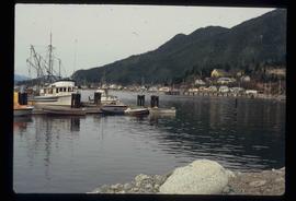
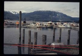
Image depicts numerous docked boats, as well as many houses on the shore in the background; located in Kitimat, B.C.
Image depicts numerous docked boats in Kitimat, B.C.
Image depicts a harbour in Kitimat, B.C.
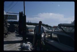
Image depicts a man holding two fish on a dock in Kitimat, B.C.
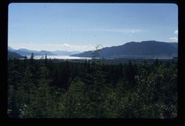
Image depicts a view of the forest and lake around Kitimat, B.C.
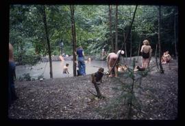
Image depicts a large group of people enjoying the Mount Layton Hot springs in the Lakelse Lake Provincial Park north of Kitimat, B.C.
Publication contains an abridged version of the publication entitled "Termpol Assessment of the Navigational and Environmental Risks Associated with the Proposal of Kitimat Pipe Line Ltd. to Construct a Marine Oil Terminal at Kitimat, B.C." published by Transport Canada Coast Guard.
Publication is entitled "The Kitimat River: Its Use and Its Importance to Residents of the Kitimat District".
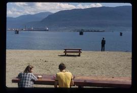
Image depicts two individuals seated at a picnic table while a third stands closer to the water on a beach somewhere in Kitimat, B.C. What appears to be a harbour can be seen on the water.
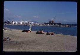
Image depicts three picnic tables, one of which is occupied with three unknown individuals, on a beach somewhere in Kitimat, B.C.
