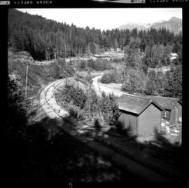
Photograph depicts the switchback to gain access to the wharf at Kaslo, looking down graded. Upper part of the track in recent years led to an oil depot, but does not appear to have been used in last 6-12 months (1970).
Kaslo, BC
7 Archival description results for Kaslo, BC
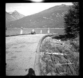
Photograph depicts a passenger wharf. The waterside of it has not used by the CPR storm-wheelers since 1957. The rail side of it has not been used since [19-?], but the track used 50 yards behind the camera was still used in 1970 by box cars loading dressed lumber. These cars moved by rail tractor back up line for 200 yards then switched to the barge spur which doubles back for about 400 yards south of this wharf.
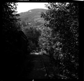
Photograph depicts the lower end of the switch of the old line between Kaslo and New Denver. In the photo, we are looking toward the south.
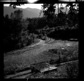
Photograph depicts a spur to an oil tank depot (located 200 yards behind the photograph) which does not appear to have been used for about 6-12 months (1970). The platform on the left is being loaded.
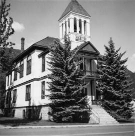
Photograph depicts the Kaslo City Hall, built in 1898. The first floor contained a library while the second floor held a coutroom with original furnishings in mild disarray.
Photograph depicts "Landing Craft #10," of the B.C. Provincial Forestry Service.
Photograph depicts an old mine at Woodbury Creek, 10 miles south of Kaslo on the Kaslo to Nelson Road. Presumably it was a silver, lead, and zinc mine.
