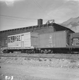
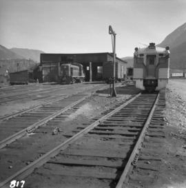
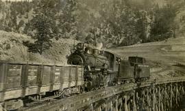
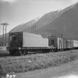
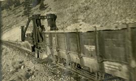
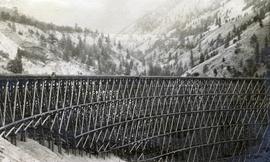
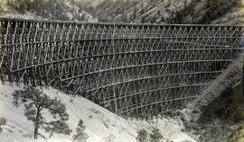
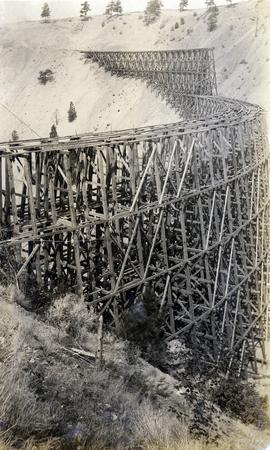
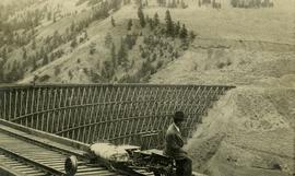
Photograph depicts a Pacific Great Eastern Railway train on Pavilion Creek trestle at Mile 20.3. The train includes Locomotive #56, built by Canadian Locomotive Company of Kingston, Ontario, in August 1914, together with caboose C2, built by National Steel Car of Hamilton, Ontario in 1914 and a “Hart Convertible Car” #140 stencilled with indeterminable initials. These cars were convertible gondolas which were used as ballast cars with the ability to dump ballast either between or outside the rails depending on whether the centre floor doors or the side doors were opened. This particular car, which was scrapped in 1949, was part of a group of 15 cars remaining in number series 131 - 195 (not all numbers used) known on the PGE as “Red Harts” to distinguish them from a somewhat more modern version in number series 201 - 240 (again, not all numbers used) known as “Black Harts”.
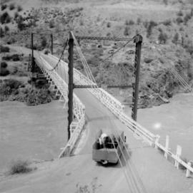
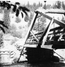
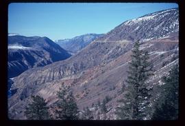
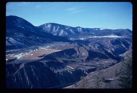
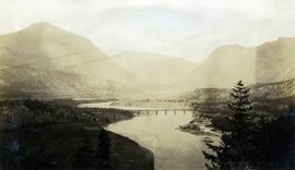
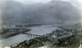
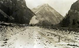
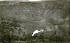
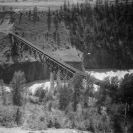
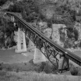
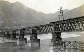
The ca. 1921-1927 “PGE Bridge List” from the notebook of William H. Hewlett (1914-1968) references a 389.4 foot long, 34 ft. high, framed trestle with 26 spans of 14.8 feet at Mile 20.3 carrying the line over Pavilion Creek. There was a water tank at Pavilion located between the North end of the siding and the South end of the trestle. A track profile chart confirms that the track at this point is on a 12 degree curve.
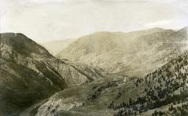
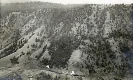
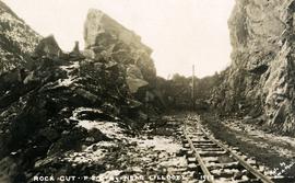
"Canadian Railway and Marine World" reported in their January 1916 issue (p. 11, c.1), that track had been laid to within ½ mile of Clinton (Mile 45.0) on Dec. 14, 1915. If a constant rate of construction had been maintained from Mile 14, reached on July 30, 1915 as previously discussed, to Clinton, the approximate date of completion to Pavilion would be around the end of August, 1915 which is probably the earliest possible date for this photograph.