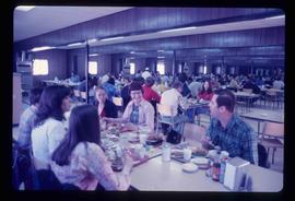
Image depicts a crowded cafeteria, most likely somewhere in Hudson's Hope, B.C. The slide is labelled "Camp at H.H."
Hudson's Hope, BC
24 Archival description results for Hudson's Hope, BC
The Helen Mustard Collection consists of textual records, audiocassettes and copies of publications relating to the history of Mackenzie Townsite and Rocky Mountain Trench region of Northern British Columbia
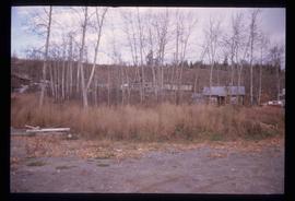
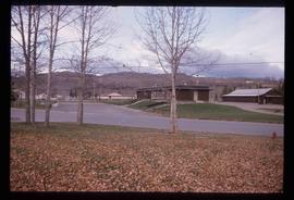
Image depicts a cabin and several other buildings, possibly located in Hudson's Hope, B.C.
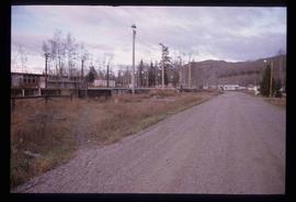
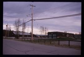
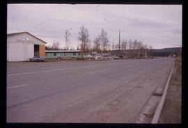
Image depicts a road and numerous buildings in Hudson's Hope, B.C.
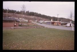
Image depicts a street in Hudson's Hope, B.C.
Image depicts what appears to be a Fire Hall in Hudson's Hope, B.C.
Image depicts what appears to be a Fire Hall in Hudson's Hope, B.C.
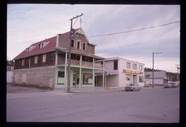
Image depicts an old, three-storey building beside a two-storey hotel in Hudson's Hope, B.C.
Image depicts two houses in Hudson's Hope, B.C.
Image depicts a street with a building which is labelled "MacKeigan Enterprises Ltd." in Hudson's Hope, B.C.
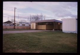
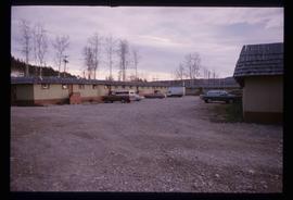
Image depicts what appears to be a motel in Hudson's Hope, B.C. The slide is labelled "camp HH."
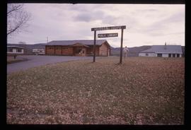
Image depicts the log building that acts as the public library in Hudson's Hope, B.C.
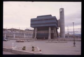
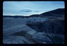
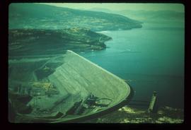
Image depicts the W.A.C. Bennett Dam in Hudson's Hope, B.C.
The Knox McCusker Collection consists primarily of photocopies of publications written by Mary Henry (1931-1935); annual reports; articles and papers written about Knox McCusker (1935-1997) as well as research materials pertaining to his life; articles and speeched written by Knox McCusker and general correspondence regarding surveying. Aside from these photocopies are some original records; namely: original correspondence between McCusker and G.G. Aitken (1934-1938); photographs (ca. 1930-1950); McCuskers 1909 certificate enabling him to be an Articled Pupil with the Dominion Land Surveyors; and an interview with McCusker conducted by J. Frank Willis (CBC, 1954).
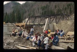
McCusker, KnoxImage depicts a large group of people sitting and eating near a bridge at an uncertain location, though possibly near Hudson's Hope, B.C.
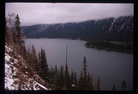
Image depicts an obstructed view of Moberly Lake, located north of Chetwynd and south of Hudson's Hope, B.C.
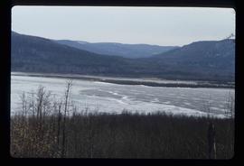
Image depicts a delta at Moberly Lake north of Chetwynd and south of Hudson's Hope, B.C.
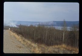
Image depicts the Peace River, possibly near Hudson's Hope, B.C.
Image depicts the W.A.C. Bennett Dam on the Peace River in Hudson's Hope, B.C.
Series consists of photographs relating to Ray Williston's life from childhood to recent times, air photographs of Prince George, photographs of Bangladesh, and a listing of photographs slated for use in Mr. Williston's biography "Forests, power and policy: the legacy of Ray Williston" written by Eileen Williston and Betty Keller.
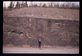
Image depicts an unidentified individual standing in front of a rock face with visible sediment layers. Located somewhere in the Peace River Region, possibly near Hudson's Hope.
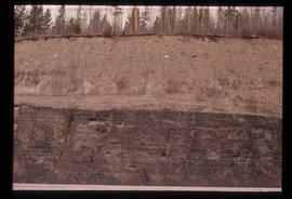
Image depicts a wall of rock with visible sediment layers at an uncertain location in the Peace River Region, possibly near Hudson's Hope.
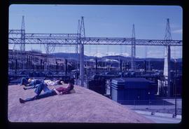
Image depicts several unidentified individuals lying on a hill outside what is most likely the W.A.C. Bennett Dam in Hudson's Hope, B.C.
Image depicts the W.A.C. Bennett Dam on the Peace River in Hudson's Hope, B.C.
