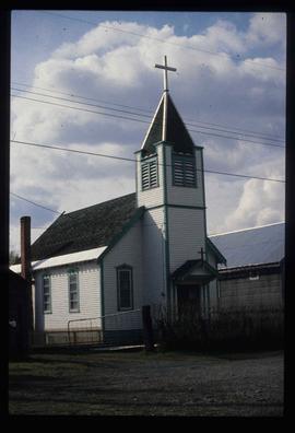
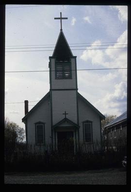
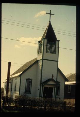
Image depicts a Catholic church in Giscome, B.C. Map coordinates 54°04'15.5"N 122°21'52.1"W
Giscome, BC
7 Archival description results for Giscome, BC
7 results directly related
Exclude narrower terms
2012.13.1.89.100
·
Item
·
1985
Part of J. Kent Sedgwick fonds
2012.13.1.89.101
·
Item
·
1985
Part of J. Kent Sedgwick fonds
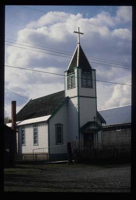
Image depicts a Catholic church in Giscome, B.C. Map coordinates 54°04'15.5"N 122°21'52.1"W
2012.13.1.89.102
·
Item
·
1985
Part of J. Kent Sedgwick fonds
Image depicts a Catholic church in Giscome, B.C. Map coordinates 54°04'15.5"N 122°21'52.1"W
2012.13.1.89.076
·
Item
·
[1980?]
Part of J. Kent Sedgwick fonds
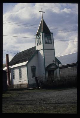
Image depicts a Catholic church in Giscome, B.C. Map coordinates 54°04'15.5"N 122°21'52.1"W
2012.13.1.89.103
·
Item
·
1985
Part of J. Kent Sedgwick fonds
Image depicts a Catholic church in Giscome, B.C. Map coordinates 54°04'15.5"N 122°21'52.1"W
2012.13.1.87.099
·
Item
·
[between 1975 and 1995]
Part of J. Kent Sedgwick fonds
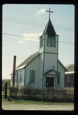
Image depicts a church in Giscome, B.C. Map coordinates 54°04'16.2"N 122°21'54.3"W
2012.13.1.87.070
·
Item
·
[between 1975 and 1995]
Part of J. Kent Sedgwick fonds
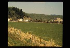
Image depicts an open field and numerous buildings, including a church in Giscome, B.C. Map coordinates 54°04'03.2"N 122°22'04.6"W
