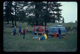
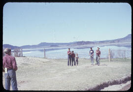
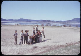
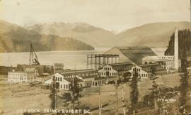
2012.13.1.017
·
Subseries
·
[between 1976 and 2004]
Part of J. Kent Sedgwick fonds
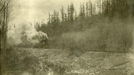
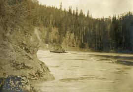
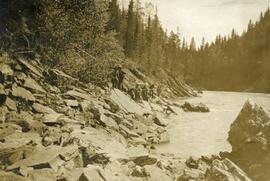
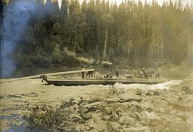
File contains slides depicting CN locations east of Prince George.