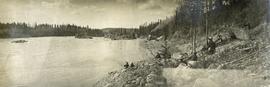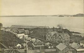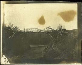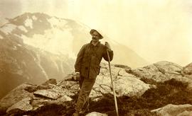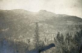
2014.10.1.428
·
Item
·
1920
Part of Arthur Holland Land Surveying Collection
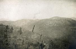
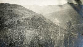
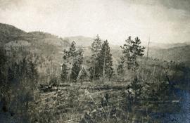
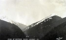
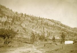
Photograph depicts a sparsely forested mountainside.