Exploration, Discovery and Travel

Elements area

Taxonomy

Code

Scope note(s)

  • Travel or exploration for personal, geographical, scientific or mapping reasons
  • Expeditions, exploration, adventure, prospecting, guiding
  • Individuals and groups involved in exploration or travel (eg. explorers, adventurers, prospectors, guides, outfitters)
  • Expedition planning, reports and accounts
  • Personal travels for discovery and education (eg. travel diaries)
  • Early contact with First Nations
  • SEE ALSO: Land, Settlement and Immigration

Source note(s)

  • MemoryBC Subject Groups

Display note(s)

    Hierarchical terms

    Exploration, Discovery and Travel

      Equivalent terms

      Exploration, Discovery and Travel

        Associated terms

        Exploration, Discovery and Travel

          1199 Archival description results for Exploration, Discovery and Travel

          1199 results directly related Exclude narrower terms
          Fort Alexandria
          2012.13.2.19.07 · File · 2007-2010
          Part of J. Kent Sedgwick fonds

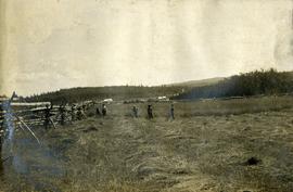
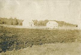
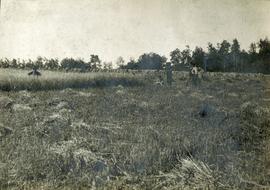
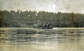
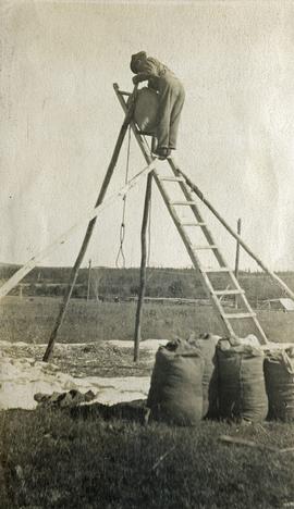
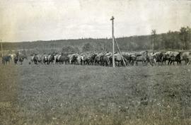
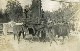
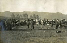
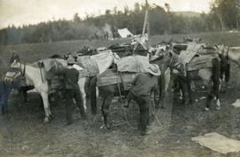
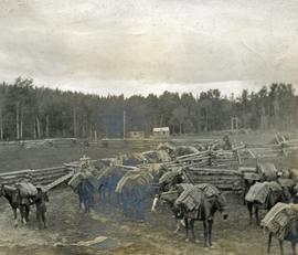
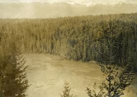
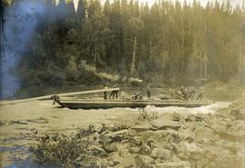
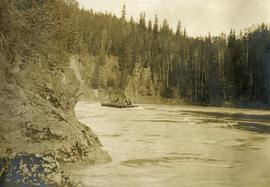
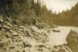
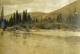
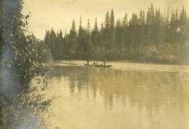
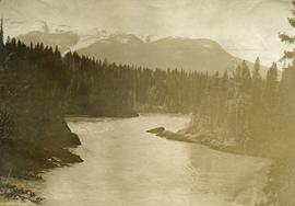
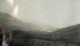
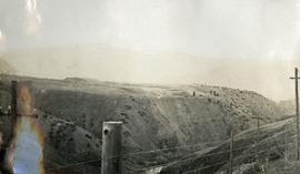
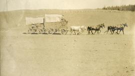
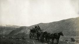
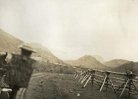
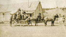
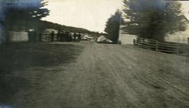
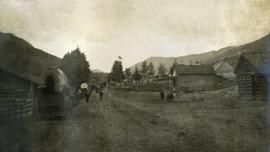
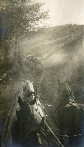
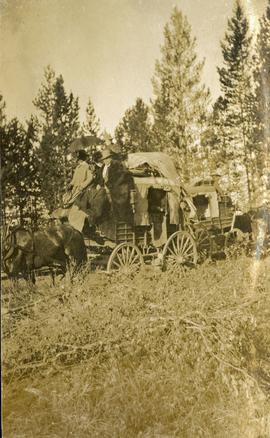
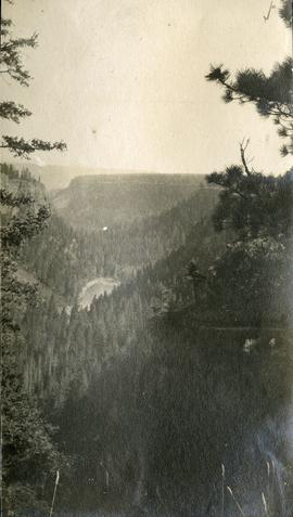
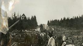
          File consists of notes and reproductions relating to Fort Alexandria (later renamed Alexandria). Fort Alexandria was an HBC trading post, ferry site, and steamboat landing in the North Cariboo, 45 km south of Quesnel. File contains photographs depicting Fort Chilcotin, the landscape and buildings (Sept. 1983 and Aug. 2006).

          Mount Sir Alexander
          2012.13.2.19.12 · File · 2006-2010
          Part of J. Kent Sedgwick fonds

          File consists of notes, clippings, and reproductions relating to Mount Sir Alexander, a mountain in the Sir Alexander Area of the Continental Ranges of the BC Canadian Rockies.

          Duke of Sutherland
          2012.13.2.20 · Subseries · 1980-2011
          Part of J. Kent Sedgwick fonds

          Subseries includes material collected by Kent Sedgwick regarding the Duke of Sutherland. The Duke of Sutherland is a title in the Peerage of the United Kingdom. The fourth Duke of Sutherland was Cromartie Sutherland-Leveson-Gower who lived from 1851 to 27 June 1913. Toward the end of his life, the 4th Duke began moving his wealth and life to Canada. The Duke owned land across British Columbia and Alberta and contributed to various settlements, including Strathnaver, BC; Windermere, BC; Brooks, AB; and Clyde, AB. The Duke of Sutherland owned the Sutherland Land Company, creating and selling plots in BC and Alberta. He also worked closely with the Canadian Pacific Railway to support immigration and settlement of the area.

          Duke of Sutherland
          2012.13.2.20.03 · File · 2011
          Part of J. Kent Sedgwick fonds

          File consists of notes and reproductions relating to the Duke of Sutherland. Also includes photographs depicting the area of White's Landing in Strathnaver (2010).

          4th Duke of Sutherland
          2012.13.2.20.21 · File · 2007
          Part of J. Kent Sedgwick fonds

          File consists of reproductions relating to the 4th Duke of Sutherland, Cromartie Sutherland-Leveson-Gower (1851-27 June 1913).

          2012.13.3.1.55 · File · 1985-1990, 2006
          Part of J. Kent Sedgwick fonds

          File consists of notes and reproductions relating to Luther Collins Gunn and L.C. Gunn Park. Luther Colins Gunn was a survey engineer who had done work for the Grand Trunk Pacific Railway and the Pacific Great Eastern Railway when he arrived in Prince George. The L.C. Gunn trail follows the same route used by Gunn when surveying the rail routes in the Prince George area. Includes: "Gunn Point" typescript document by Ted Williams for the Heritage Advisory Committee (1985); "A Proposal - The L.C. Gunn Viewpoint" typescript letter to Mr. Mac Norris, president of the B.C.R. Company from Ted Williams and the Heritage Advisory Committee (27 Jan. 1987); and "Item of business, proposed use of District Lot # 486" typescript letter from the Heritage Advisory Committee to Beverley Pitman, Planning Assistant (31 May 1979). Also includes photographs depicting the Moffat farm (2005).

          2012.13.3.3 · Subseries · 1980-2010
          Part of J. Kent Sedgwick fonds

          Subseries consists of material created and collected by Kent Sedgwick during his involvement with the Alexander Mackenzie Heritage Trail Association. Sedgwick was the treasurer and later the president of the Alexander Mackenzie Voyageur Route Association. The association was formed to create the first official heritage trail in British Columbia. The trail is now called the Nuxalk-Carrier Grease Trail and is part of the route across Canada followed by Alexander Mackenzie in 1789 to 1793. The association aided in having the route recognized by each provincial government and the federal government. The files primarily consist of management plans, summary documents, booklets, and pamphlets created by the association, the provincial government, and Parks Canada.

          Alexandra Isabel Mackenzie
          2012.13.3.3.01 · File · [between 1980 and 2010]
          Part of J. Kent Sedgwick fonds

          File consists of reproduced copy of "To the Memory of Alexander Mackenzie's Granddaughter and last Descendant Mrs. Heald (Alexandra Isabel Mackenzie)" originally published in 1933.

          2012.13.3.3.02 · File · 1985
          Part of J. Kent Sedgwick fonds

          File consists of bound documents, plans, and reproductions. Includes: "Public input summary" spiral bound book from Parks Canada (Dec. 1985) and "Alexander Mackenzie Heritage Trail" bound book published by Parks Canada (17 July 1985).

          2012.13.4.08 · File · 1999-2000
          Part of J. Kent Sedgwick fonds

          File consists of photographs depicting the Salmon River Portage. Includes depictions of potential past mill sites, overgrown fields, and derelict buildings.

          McLeod Lake
          2012.13.4.13 · File · 1978-2009
          Part of J. Kent Sedgwick fonds

          File consists of notes, clippings, and reproductions relating to McLeod Lake. Includes a "History of McLeod Lake, BC" typescript document by Kelly Rogers (1982). File also includes photographs depicting McLeod Lake (1999-2000).

          2014.10 · Collection · 1907-1920

          Collection consists of a photograph album from A. H. Holland, a British Columbia Land Surveyor, that was created while working in the Central Interior, the Cariboo, the Chilcotin and southeast British Columbia. This album visually documents steamboat, stagecoach and horse travel in British Columbia and also captures the prepatory work and dawn of the age of rail travel.

          Holland, Arthur H.
          Arthur Holland Album
          2014.10.1 · Series · 1907-1920
          Part of Arthur Holland Land Surveying Collection

          Series consists of a photograph album from A. H. Holland, a British Columbia Land Surveyor, that was created while working in the Central Interior, the Cariboo, the Chilcotin and southeast British Columbia. This album visually documents steamboat, stagecoach and horse travel in British Columbia and some First Nation village sites. It also captures preparatory survey work and dawn of the age of rail travel.

          Ready to saddle
          2014.10.1.009 · Item · 1907
          Part of Arthur Holland Land Surveying Collection

          Photograph depicts a large semicircle of tethered horses. Loaded packs are arranged near each horse. Men, boys and a border collie are in the foreground, low mountains in the background.

          Packing horses
          2014.10.1.010 · Item · 1907
          Part of Arthur Holland Land Surveying Collection

          Photograph depicts a group of horses in process of being loaded with packs. Four or more men attend. There is a canvas tent, open fire and more people in the background.