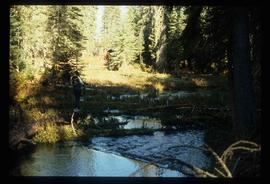
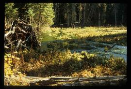
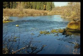
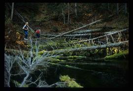
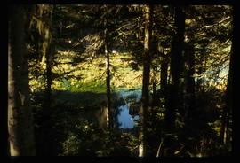
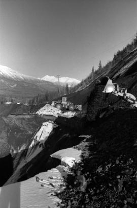
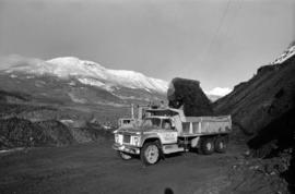
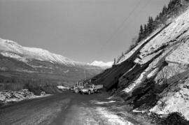
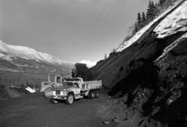
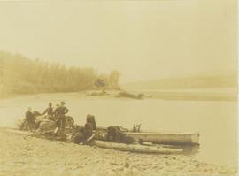
Environment

Elements area

Taxonomy

Code

Scope note(s)

  • Includes: environmental issues; nature, wilderness and scenery; climate and weather; environmentalists; environmental organizations and businesses; parks and natural areas; wildlife management; habitat and species protection/recovery; conservation activities.

Source note(s)

  • MemoryBC Subject Groups

Display note(s)

    Hierarchical terms

    Environment

      Equivalent terms

      Environment

        Associated terms

        Environment

          4525 Archival description results for Environment

          4525 results directly related Exclude narrower terms
          Lillooet Area
          2012.13.1.053 · Subseries · [between 1971 and 1982]
          Part of J. Kent Sedgwick fonds

          File contains slides depicting places in the Lillooet area.

          2003.4.3.061 · File · 14 Mar. 1994
          Part of Kemano Completion Project Dispute Collection

          File consists of a list of documents from the Department of Fisheries and Oceans that were created between 1977 and 1994 and released to the public through Access to Information Act requests or other means. The list includes requested records that were not made available because they are exempt from the Access to Information Act.

          2002.14.4.10 · File · 2004
          Part of Marianne (Marika) Ainley fonds

          File contains material relating to "Re-explorations: new perspectives on gender, environment and the transfer of knowledge in 19th and 20th century Canada and Australia." It consists of lists of contacts for research; teaching notes for women's studies courses; a list of material available at the Penticton Archives; notes from an article; and a timesheet for Ainley's research assistant, Anna-Stina Kjellstrom.

          Livingston Springs
          2012.13.1.4.25 · Item · 16 Mar. 1988
          Part of J. Kent Sedgwick fonds

          Image depicts numerous fallen trees and two unknown individuals somewhere in the Crooked River Provincial Park, near the Livingston Springs.

          Livingston Springs
          2012.13.1.4.26 · Item · 16 Mar. 1988
          Part of J. Kent Sedgwick fonds

          Image depicts the Livingston Springs in the Crooked River Provincial Park, with an unknown individual present.

          2006.25.1.76 · Item · Apr. 1966
          Part of Al Elsey Moving Images Collection

          Film begins with aerial footage of mountains believed to be around Bella Coola. Then recording of men loading barrels, supposedly of gas, into a boat using a "home made" winch and boom construction. They ferry the barrels up stream, the river is assumed to be Dean River. and use a similar construction to bring the barrels to shore.

          There is also footage of men fishing in the river.

          Loading Pack Horses
          2006.25.1.47 · Item · Oct. 1963
          Part of Al Elsey Moving Images Collection

          Footage of men preparing pack horses for a hunting trip in the early morning hours.

          Possible locations of filming are Holt Homestead or Lassard Lake.

          Loading up a pack horse
          2000.19.2.154 · Item · 29 Aug. 1927-26 Sept. 1927
          Part of Prentiss Gray Collection

          Photograph depicts a man loading up pack horse with two other laden pack horses visible in the periphery of the image.

          2001.8.2.2.014 · File · 1980
          Part of Geoffrey R. Weller fonds

          File consists of a paper titled "Local Government in the Canadian Provincial North" presented by Weller at the 1980 Western Social Science Association conference. This file was originally numbered to correspond with conference paper number 14 listed in Weller's CV.

          2001.8.2.2.025 · File · 1983
          Part of Geoffrey R. Weller fonds

          File consists of a paper titled "Local Government in the Yukon and Northwest Territories" presented by Weller at the 1983 Western Social Science Association conference. This file was originally numbered to correspond with conference paper number 25 listed in Weller's CV.

          2019.10 · Collection · 1968-1970

          These historically important aerial photographs depict Williston Lake soon after its creation in 1968 with the building of the W.A.C. Bennett Dam on the Peace River. Also depicted are the rivers and tributaries that empty into the Williston Reservoir, such as the Finlay River, the Ospika River, and the Omineca River.

          These remote-sensing aerial photographs were taken by Lockwood Survey Corporation Ltd. under contract for the B.C. Forest Service. Some photographs are annotated to show logging activity; clearcuts, slash piles, log booms, and tree debris on the water are also visible in some of the images. No detailed location information or index accompanies the photographs.

          Lockwood Survey Corporation Ltd.
          2009.6.1.115 · Item · 3 January 1975
          Part of The Honourable Iona Campagnolo fonds

          Photograph depicts a forested mountain, the bottom half of which has been logged and terraced; beneath the mountain is a railroad track and parked vehickes including a schoolbus and two dumptrucks.

          Handwritten annotation on verso reads: “Fairview Sodturning, Prince Rupert, 1/3/75”.

          Logging
          2012.13.1.122.12 · Item · 1977
          Part of J. Kent Sedgwick fonds

          Image depicts a logging area somewhere near Prince George, B.C.

          Logging
          2012.13.1.3.043 · Item · Nov. 1977
          Part of J. Kent Sedgwick fonds

          Image depicts an area undergoing logging somewhere in Prince George, B.C.

          Logging
          2012.13.1.122.13 · Item · 1977
          Part of J. Kent Sedgwick fonds

          Image depicts a logging area somewhere near Prince George, B.C.