Title and statement of responsibility area
Title proper
General material designation
Cartographic material
Parallel title
Other title information
Title statements of responsibility
Title notes
Level of description
Reference code
Edition area
Edition statement
Edition statement of responsibility
Class of material specific details area
Statement of scale (cartographic)
Statement of projection (cartographic)
Statement of coordinates (cartographic)
Statement of scale (architectural)
Issuing jurisdiction and denomination (philatelic)
Dates of creation area
Date(s)
-
1968-1970 (Creation)
- Creator
- Lockwood Survey Corporation Ltd.
Physical description area
Physical description
1041 remote-sensing images : b&w ; 22.5 x 22.5 cm
Publisher's series area
Title proper of publisher's series
Parallel titles of publisher's series
Other title information of publisher's series
Statement of responsibility relating to publisher's series
Numbering within publisher's series
Note on publisher's series
Archival description area
Name of creator
Administrative history
The Lockwood Survey Corporation Ltd. was an aerial photographic survey company based in the Toronto, Ontario area with divisions across Canada, the west coast division being located at 1409 West Pender Street, Vancouver, BC.
It was formed out of a number of amalgamations, mergers and name changes of predecessor companies, beginning with the Toronto-based Photographic Survey Company, which began in 1946 under the direction of Douglas M. Kendall, with British financing from Sir Percy Hunting. From 1956-1965, the company was known as Hunting Survey Corporation, Ltd., later known as Lockwood Survey Corporation, Ltd. from 1965-1972. From 1972-1975 the company was called Northway Survey Corporation, Ltd., and then Northway- Gestalt Corporation Ltd. from 1975-1984. The company has been named Northway Map Technology Ltd. since 1985.
Custodial history
This collection of air photographs is believed to have been transferred from the Geographic Information Centre at the University of British Columbia.
Scope and content
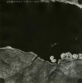
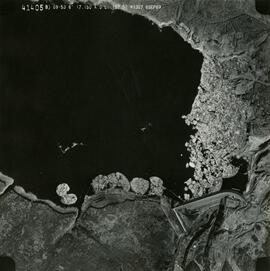
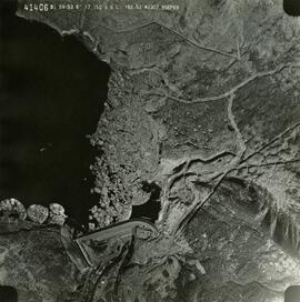
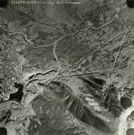
These historically important aerial photographs depict Williston Lake soon after its creation in 1968 with the building of the W.A.C. Bennett Dam on the Peace River. Also depicted are the rivers and tributaries that empty into the Williston Reservoir, such as the Finlay River, the Ospika River, and the Omineca River.
These remote-sensing aerial photographs were taken by Lockwood Survey Corporation Ltd. under contract for the B.C. Forest Service. Some photographs are annotated to show logging activity; clearcuts, slash piles, log booms, and tree debris on the water are also visible in some of the images. No detailed location information or index accompanies the photographs.
Notes area
Physical condition
Some minor warping present on some of the photo prints. Some prints have been annotated in pencil or pencil crayon.
Immediate source of acquisition
Arrangement
Original order.
Language of material
English
Script of material
Location of originals
Availability of other formats
These air photographs have not been digitized, with the exception of the representative examples provided in 2019.10.4.
Restrictions on access
No restrictions.
Terms governing use, reproduction, and publication
Personal or academic use of materials is welcomed under the standard fair dealing and educational use clauses of Canadian Copyright Law. Commercial use is, however, forbidden without the express permission of the copyright holder.
Finding aids
Associated materials
Other regional aerial photographs taken by Lockwood Survey Corporation are available at the Geographic Information Centre at the University of British Columbia.


