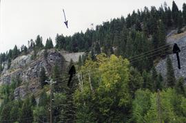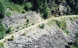
2013.6.36.1.097.02
·
Item
·
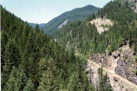
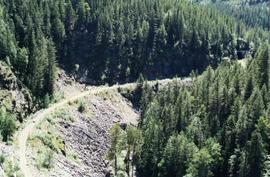
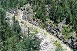
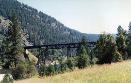
Aug. 1997
Part of David Davies Railway Collection
Photograph taken at the Paulson Highway Bridge. Site of a snow shed until the early 1980's when it was demolished and a slide fence was installed.