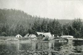
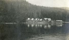
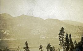
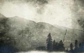
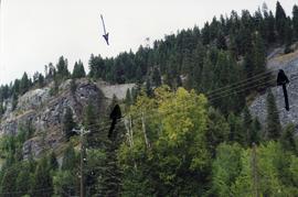
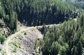
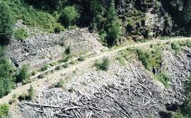
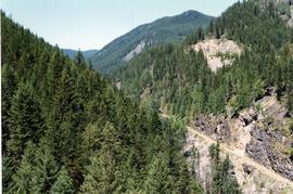
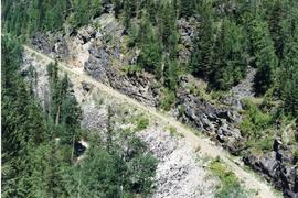
Photograph depicts an abandoned CPR grade near Christina Lake. Rockwork was built in 1898 which was quite rare.
Christina Lake, BC
14 Archival description results for Christina Lake, BC
Photograph depicts a view from the water looking at a camp with several canvas tents. Lily pads in the foreground, forest in the background.
Photograph depicts a view from the water looking toward a cluster of canvas tents set on the shores of Christina Lake.
Photograph depicts a foreground of forest looking toward Christina lake with mountains in the background.
Photograph depicts a young female standing beside a stump dressed in outdoor clothing, a tent is in the background.
Photograph depicts a young female standing beside an open tent in outdoor clothing (possibly a crew member?).
File consists of documentary photographs taken by David Davies of former KVR trackage in the Christina Lake area of British Columbia.
Photograph taken at Kettle River Bridge. Immediately on the far side of the river, the track did a sharp turn to the side of Christina Lake.
Photograph taken at the Kettle River Bridge on the former Boundary Subdivision about 12 miles due east of Grand Forks. Visible is a deck truss and dock plate girder spans that were believed to have originally a covered bridge.
Photograph taken at the Paulson Highway Bridge.
Photograph taken at the Paulson Highway Bridge. Site of a snow shed until the early 1980's when it was demolished and a slide fence was installed.
Photograph taken at the Paulson Highway Bridge.
Photograph taken at the Paulson Highway Bridge. KVR track visible on a former Boundary Subdivision between Castlgar and Grand Forks.