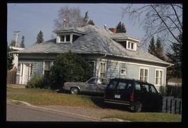
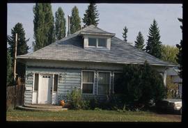
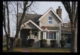
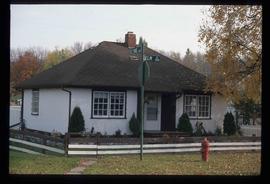
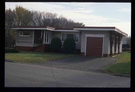
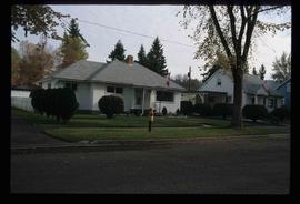
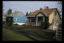
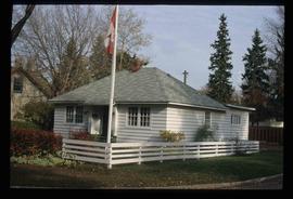
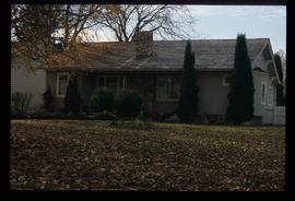
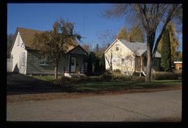
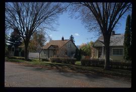
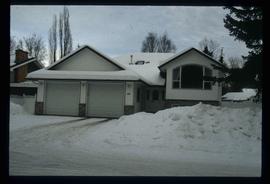
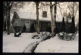
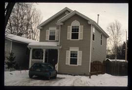
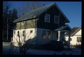
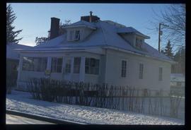
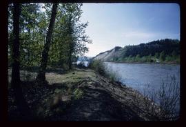
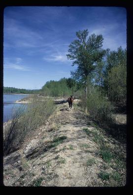
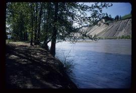
File contains slides depicting logging and equipment. Most appear to be locations around Prince George.
Prince George, BC
2245 Archival description results for Prince George, BC
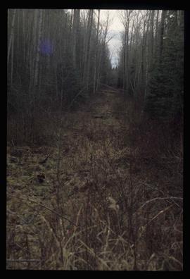
Image depicts a view of the south direction of the grade for the British Columbia Railway, which was formerly known as the Pacific Great Eastern until 1972. It is at an uncertain location, possibly near Woodpecker or Prince George.
File contains slides depicting the grade for what was formerly the Pacific Great Eastern, and is now known as British Columbia Railway.
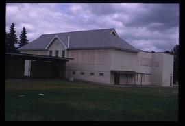
Image depicts an old, boarded up school, possibly the Central Fort George Traditional School in Prince George, B.C.
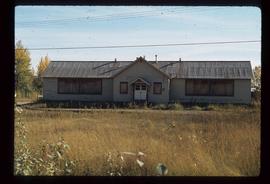
Image depicts an old, boarded up school in Island Cache, B.C.
File contains slides depicting schools in Prince George, B.C.
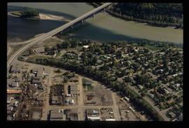
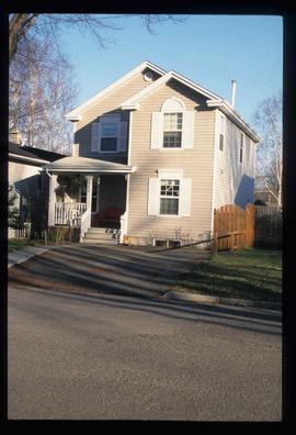
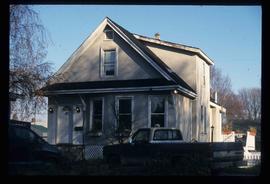
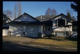
File contains slides depicting the growth of Prince George.
Image depicts Ash Street and Patricia Boulevard in Prince George, B.C.
Image depicts 135 Patricia Boulevard in Prince George, B.C.
Image depicts 1354 Ingledew Street in Prince George, B.C.
Image depicts 1386 Ingledew Street in Prince George, B.C.
Image depicts 1488 Gorse Street in Prince George, B.C.
Image depicts 1598 Fir Street in Prince George, B.C.
Image depicts 1590 Fir Street in Prince George, B.C.
Image depicts 1532 Fir Street in Prince George, B.C.
Image depicts 1480 Birch Street in Prince George, B.C.
Image depicts a view of the Millar Addition suburb from Connaught Hill in Prince George, B.C.
Image depicts 1566 Ingledew Street in Prince George, B.C.
Image depicts 1566 Ingledew Street in Prince George, B.C.
Image depicts 1510 Fir Street in Prince George, B.C.
Image depicts a property given to the Veterans of the Second World War, located on the corner of 15th Avenue and Elm Street in Prince George, B.C.
Image depicts 411 Patricia Boulevard in Prince George, B.C.
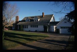
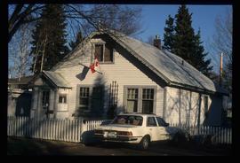
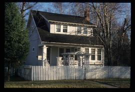
Image depicts houses on Dogwood Street in the Millar Addition neighbourhood of Prince George, B.C. On the left is 1610 Dogwood Street and 1630 Dogwood Street is the middle house; 1650 Dogwood Street is the blue house on the right.
Image depicts 1650 Dogwood Street and 1670 Dogwood Street in the Millar Addition neighbourhood in Prince George, B.C.
Image depicts 1690 Dogwood Street, on the corner of 17th Ave and Dogwood St. in Prince George, B.C. Also depicts a portion of 1670 Dogwood Street at left.
Image depicts 1425 Taylor Drive in Prince George, B.C.
Image depicts some of the 1445 Elm Street and 1425 Elm Street houses in the Millar Addition neighbourhood of Prince George, B.C.
Image depicts 1465 Elm Street, 1445 Elm Street, and 1425 Elm Street in the Millar Addition neighbourhood of Prince George, B.C.
Image depicts 1480 Birch Street in Prince George, B.C.
Image depicts 1425 Taylor Drive in Prince George, B.C.
Image depicts 1598 Fir Street in Prince George, B.C.
Image depicts 1423 Ingledew in Prince George, B.C.
Image depicts 1461 Ingledew in Prince George, B.C.
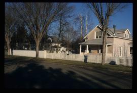
Image depicts a view of the Millar Addition suburb in Prince George, B.C.
File contains slides depicting the Millar Addition suburb in Prince George, B.C.
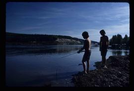
Image depicts two youths fishing from the bank of the Nechako River on Cottonwood Island.
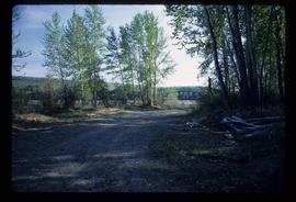
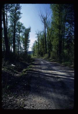
Image depicts a nature trail on Cottonwood Island.
Image depicts a nature trail on Cottonwood Island.
Image depicts a nature trail on Cottonwood Island.
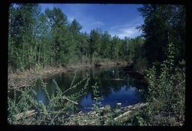
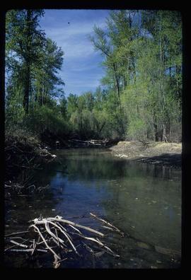
Image depicts a small stream somewhere on Cottonwood Island.
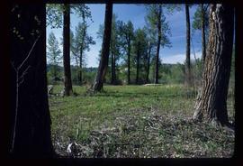
Image depicts Cottonwood Island.
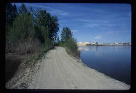
Image depicts a nature trail on Cottonwood Island.
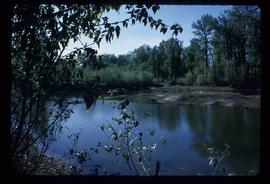
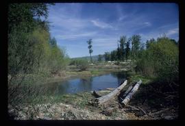
Image depicts what is possibly a small section of the Nechako River on Cottonwood Island.
Image depicts a small stream somewhere on Cottonwood Island.
Image depicts Cottonwood Island.
Image depicts a nature trail on Cottonwood Island.
Image depicts a green car among some trees on Cottonwood Island.
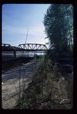
Image depicts the Nechako River from Cottonwood Island.
Image depicts a horse on Cottonwood Island.
Image depicts the Nechako River on Cottonwood Island.
