Anahim Lake, BC

Elements area

Taxonomy

Code

Scope note(s)

    Source note(s)

      Display note(s)

        Hierarchical terms

        Anahim Lake, BC

          Equivalent terms

          Anahim Lake, BC

            Associated terms

            Anahim Lake, BC

              59 Archival description results for Anahim Lake, BC

              59 results directly related Exclude narrower terms
              2006.25 · Collection · 1961 - 2000, predominant 1961-1967

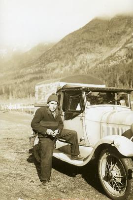
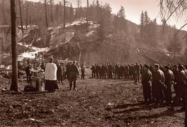
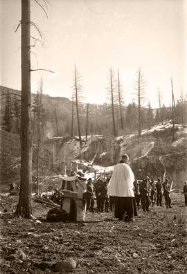
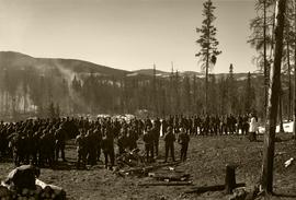
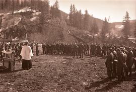
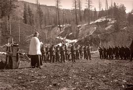
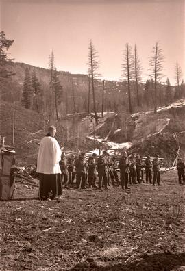
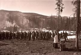
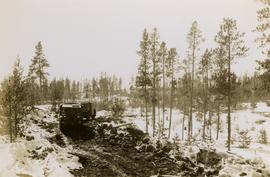
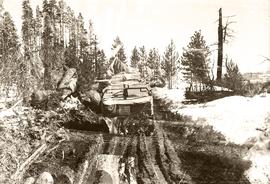
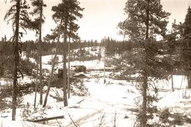
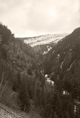
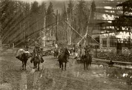
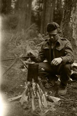
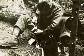
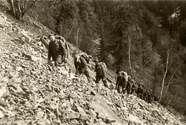
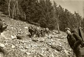
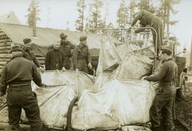
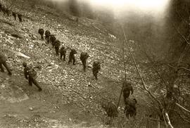
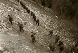
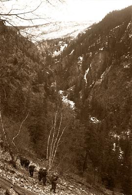
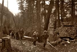
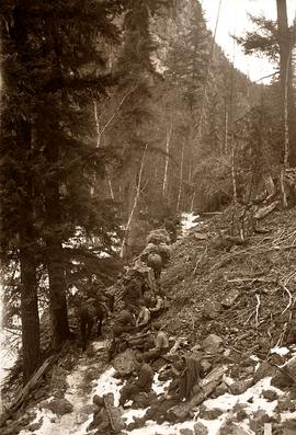
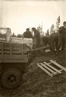
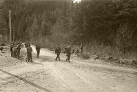
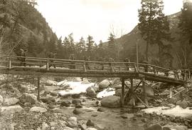
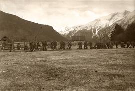
              Fonds consists of original, silent 16mm reels that portray the natural, social and land use history of the Bella Coola and Chilcotin regions named the "Natural and Guiding History of the Bella Coola and Chilcotin Regions".

              Possible locations that Al Elsey filmed include: Bella Coola, Bella Bella, Anahim Lake, Alert Bay, Nimpo Lake, Bulkey Valley, the Rainbow Mountains, Tweedsmuir Provincial Park, Dean River, Bella Coola River, Tchaha Lake, the Chilcotin region, the Ulkatcho Mountains, Lassard Lake, Fenton Lake, Atnarko River, Wells Gray Park, and Holt Homestead.

              Anahim Lake Stampede
              2006.25.1.77 · Item · Jul. 1964
              Part of Al Elsey Moving Images Collection

              Footage of the Anahim Stampede. The film includes recordings of the people at the stampede, bronco and bull riding, the area surrounding the arena, wild cow milking, children games such as sack races, horse racing around the arena, the concession stand and wild cow riding.

              2006.25.1.84 · Item · c. 1980 - c.2000
              Part of Al Elsey Moving Images Collection

              Al Elsey compiled his original footage from 1964 to produce this commercial film that deals with the Anahim Lake Stampede, Caribou Hunting around Fenton Lake in Tweedsmuir Provincial Park, and Burton and Josephine Robson with their domestic deer. The video provides a compilation of film footage shot by Elsey and is narrated by him describing the activities documented in the footage

              2006.25.1.78 · Item · Apr. 1967
              Part of Al Elsey Moving Images Collection

              Film begins with recording of geese flying in sky as introduction. Then there is footage of community life in the general store, believed to be "Christensen's General Store," including a man lighting a pipe, children buying snacks and families buying groceries. Afterwards there is filming of the Anahim Stampede, depicting wild cow riding, bronco riding and the spectators.

              The second portion of the film begins with the title slide "Caribou Return" and in consists of clips of ducks on a lake, scenery of trees and the lake, men packing up horses as they prepare for a journey into the high country. They travel as a pack train up into the mountains and eventually set up camp. There is footage of the men cooking, and also various shots of wildlife including a white grouse, herd of caribou, moose wandering through the snow, and a porcupine. The hunting party eventually kills a bull moose and there is footage of them examining the kill and loading the pack train with meat.

              The third portion of the film begins with two young girls playing in a boat and then playing in a garden, and then a young boy pulling his sister in a wagon. There is a family barbeque and more footage of children playing and going fishing in a lack. The film ends with a recording of a grouse or pheasant in a bush.

              Locations believed to be filmed in on this reel include Gitcha Mountains, Ulkatcho Mountains, Holt Homestead, Lassard Lake, Rainbow Mountains or Tweedsmuir Provincial Park.

              Fence
              2012.13.1.12.17 · Item · Sep. 1983
              Part of J. Kent Sedgwick fonds

              Image depicts a fence somewhere in Anahim Lake, B.C.

              Fence
              2012.13.1.12.16 · Item · Sep. 1983
              Part of J. Kent Sedgwick fonds

              Image depicts a fence somewhere in Anahim Lake, B.C.

              2006.25.1.63 · Item · [between 1961 - 1967]
              Part of Al Elsey Moving Images Collection

              Footage includes salmon jumping in a river, men filleting fish in fishing boat in tide water, a beaver in the water, and a bird, probably a heron, flying.

              Recordings from the boat on a river, some loons on a lake, either Anahim or Fenton lake, and a panoramic view of the lake with mountains in background.

              Also some footage of men fishing from the shore of a river, children catching fish, children swimming, some river rapids, footage of an eagle, a pelican on the lake, a group of birds, probably sand pipers, in water.

              There are two young girls playing on a boat near shore, a view of white and brown house, and an older boy pulling a young girl in a wagon.

              Include is footage of a backyard BBQ picnic, two young girls fishing, a cabin at a lake, and general scenery of birch trees, a boat house, and a dock at lake.

              There is also a sign that reads "Breezy Cove," people relaxing on porch in front of cabin, and footage of a woman believed to be Mrs. Elsey and a friend walking on a forest path.

              The film ends with footage of more fishing off a motor boat and unloading the motor boat at a dock.

              Possible locations of the filming include the Bella Coola River, the Bella Coola Valley, the Bulkley Valley, the Hagensborg area, and Nimpo Lake.

              2020.4.6.327 · File · 1992
              Part of G. Gary Runka fonds

              File consists of records created and accumulated by Gary Runka over the course of his consultancy work for BC Commission on Resources & Environment for the "Facilitation of Multi-interest Resource Management - Anahim Round Table" project in Anahim Lake. This file was numbered as G.G. Runka Land Sense Ltd. client file #327; that client number may be seen referenced elsewhere in the G. Gary Runka fonds. The Land Sense Ltd. client files generally include records such as correspondence, contracts, invoices, project reports, publications, ephemera, memoranda, maps or map excerpts, legal documents, meeting materials, clippings, and handwritten notes. File also includes 28 accompanying photographs.

              Includes the following:

              • Anahim Round Table Resource Management Plan, including Draft Consensus Report, June 1993 and Interim Report, August 1993. Commission on Resources and Environment. 1994.
              2020.4.6.491 · File · 1998
              Part of G. Gary Runka fonds

              File consists of records created and accumulated by Gary Runka over the course of his consultancy work for Anahim Lake Round Table for the "Charlotte-Alplands Wilderness Tourism and Forest Recreation Opportunities Study" project in West Chilcotin. This file was numbered as G.G. Runka Land Sense Ltd. client file #491; that client number may be seen referenced elsewhere in the G. Gary Runka fonds. The Land Sense Ltd. client files generally include records such as correspondence, contracts, invoices, project reports, publications, ephemera, memoranda, maps or map excerpts, legal documents, meeting materials, clippings, and handwritten notes. File also includes 32 accompanying photographs.

              Includes the following:

              • Anahim Round Table Sub Regional Plan: Report of Objectives and Strategies. Recommended Options. 2000.

              Maps include:

              • G.G. Runka Land Sense Ltd. and Shearwater Mapping Ltd., "Charlotte-Alplands Snow Based Wilderness Tourism Product Capability Map", March 1998.
              • G.G. Runka Land Sense Ltd. and Shearwater Mapping Ltd., "Charlotte-Alplands Land Based Wilderness Tourism Product Capability Map", March 1998.
              • G.G. Runka Land Sense Ltd. and Shearwater Mapping Ltd., "Charlotte-Alplands Water Based Wilderness Tourism Product Capability Map", March 1998.
              • G.G. Runka Land Sense Ltd. and Shearwater Mapping Ltd., "Charlotte-Alplands Biogeoclimatic Based Wilderness Tourism Product Capability Map", March 1998.
              • Photocopy of map of Fraser Plateau with overlap depicting Hwy 20 corridor, Hotnarko LRUP, and other areas, n.d. (3 copies, various sizes)
              • Combination of NTS maps joined together and annotated to show the Fraser Plateau area, n.d.
              • Combination of NTS maps joined together and annotated to show the Coast Mountains Pacific Ranges area, n.d.
              • G.G. Runka Land Sense Ltd., "Land Based Tourism Product Capability, Map Sheet 3" hand drawn annotations on printed base map, c. 1998.
              • G.G. Runka Land Sense Ltd., "Land Based Tourism Product Capability, Map Sheet 2" hand drawn annotations on printed base map, c. 1998.
              • G.G. Runka Land Sense Ltd., "Land Based Tourism Product Capability, Map Sheet 1" hand drawn annotations on printed base map, c. 1998.
              • G.G. Runka Land Sense Ltd., "Snow Based Tourism Product Capability, Map Sheet 3" hand drawn annotations on printed base map, c. 1998.
              • G.G. Runka Land Sense Ltd., "Snow Based Tourism Product Capability, Map Sheet 2" hand drawn annotations on printed base map, c. 1998.
              • G.G. Runka Land Sense Ltd., "Snow Based Tourism Product Capability, Map Sheet 1" hand drawn annotations on printed base map, c. 1998.
              • Topographical map of Charlotte Lake area, n.d.
              • Topographical map of Charlotte Lake area with hand-drawn annotations, n.d. (3 copies with different annotations)
              • Topographical map of Crazy Bear (Ginny) Lake area with hand-drawn annotations, n.d. (2 copies with different annotations)
              • Topographical map of Bussel Creek and Fraser Plateau area with hand-drawn annotations, n.d. (2 copies with different annotations)
              • Topographical map of Banana Lake area, n.d.
              • Topographical map of Banana Lake area with hand-drawn annotations, n.d. (3 copies with different annotations)
              • Hand-drawn and coloured map showing alpine flower meadows, lakes, hiking trails, and the alpine tundra boundary in Mt McClinchy area, n.d.
              • G.G. Runka Land Sense Ltd., "Wildlife Presence", n.d.
              • B.C. Forest Service, "Recreation Resource Inventory" 92N.083, 1993.
              • B.C. Forest Service, "ART [Anahim Round Table] Interest Area, Access Management Plan" draft version, Nov. 1997
              • BC Ministry of Forests, "Highway 20 #4, Chilcotin Forest District Landscape Inventory & Analysis Legend", mapsheets 92N 084-86, 094-96, 93C 003-06
              • BC Ministry of Forests, "Highway 20 #5, Chilcotin Forest District Landscape Inventory & Analysis Legend", mapsheets 93C 013-15, 023-026, 033-35
              • L.A. West Landscape Architects Environmental Planners, "Chilcotin Forest District, Visually Sensitive Area Inventory", Feb. 1994
              • Photocopy of annotations on 93C.012-13 base map
              • Photocopy of annotations on 93C.004 base map
              • Photocopy of annotations on Charlotte-Alplands base map
              • "Anahim Round Table Interest Area Geographical Units" annotated on combined NTS maps
              2006.25.1.72 · Item · Jul. 1964
              Part of Al Elsey Moving Images Collection

              Footage of a horse ranch called "Cless Pocket Ranch" and hay fields surrounding. There is men at work using a sawmill to cut wood into planks and men working in the hay field with their young sons on the ranch. Cless Pocket Ranch is located in the Chilcotin area of BC near Anahim Lake.

              Also included is footage of the Anahim Lake stampede, the people watching and playing, the arena and the concession stand.