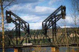
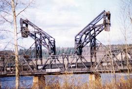
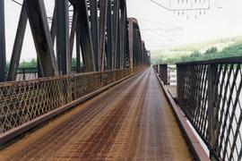
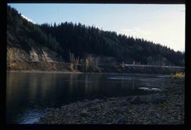
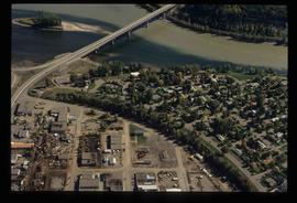
Photograph depicts a CN bridge crossing over the Fraser River. Details of the draw span captured.
Prince George, BC
184 Archival description results for Prince George, BC
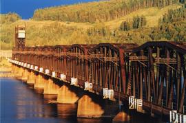
Photograph depicts a print taken fron a slide supplied by a professional photographer, Al Harvey. Captures a CN bridge crossing over the Fraser River.
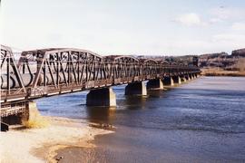
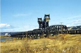
Photograph depicts a CN bridge crossing over the Fraser River.
Photograph depicts a CN bridge crossing over the Fraser River.
Photograph depicts a CN bridge crossing over the Fraser River. Details of the draw span captured.
Photograph depicts a B.C. Telephone book with a CN bridge crossing the Fraser River featured on its cover.
Photograph depicts a loaded coal train en rout to Prince Rupert travelling on a CN bridge that crossed over the Fraser River.
Image depicts the Fraser River at Paddlewheel park, with a train on the other side of the river, in Prince George B.C.
Image depicts Ash Street and Patricia Boulevard in Prince George, B.C.
Image depicts the Fraser River at Paddlewheel park, with a train on the other side of the river, in Prince George B.C.
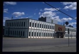
Image depicts the CN Building in Prince George, B.C.
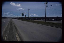
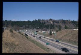
Image depicts a view along Highway 97 in Prince George, B.C.
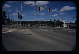
Image depicts the intersection of 5th Ave and Highway 97 looking northeast. Map coordinates 53°55'14.0"N 122°46'54.8"W
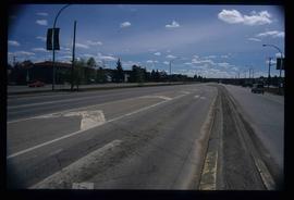
Image depicts a section of Highway 97 looking south. Map coordinates 53°55'10.3"N 122°46'54.9"W
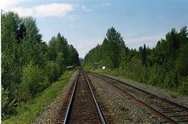
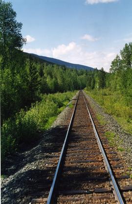
Photograph taken somewhere between Prince George and McBride.
Image depicts the intersection of 15th Ave and Highway 97 in Prince George, B.C.
Image depicts a highway, possibly Highway 97, in Prince George, B.C.
Photograph taken somewhere between Endako and Prince George, Nechako Subdivision.
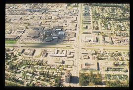
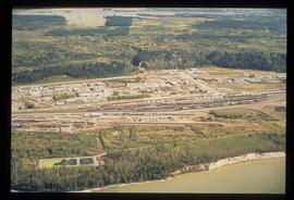
Image depicts an aerial view of the BC Rail, in Prince George, B.C. It is now known as CN Rail.
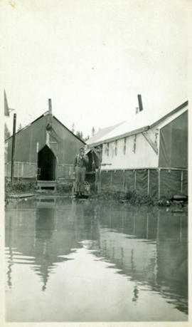
Photograph depicts lane in front of tent buildings flooded with water, and a man standing near doorway to first building. It is believed that this photograph may depict the Island Cache in flood, at Prince George, BC.
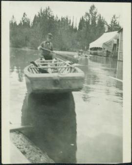
Cane floats in flooded area of camp, tent buildings and forest trees in background. It is believed that this photograph may depict the Island Cache in flood, at Prince George, BC.
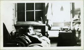
Handwritten annotation on recto of photo reads: "Harry Monson Edmonton Prince George." Harry reclines on bed under window, surrounded by personal effects. Photograph was taken after nightfall. Handwritten caption beside this photo reads: "Harry talked my dad into selling him my boat".
Collection consists of 73 photographs featuring the construction of the John Hart Highway in Prince George, BC from 1945-1946. Images depict construction, machinery, workers, bunkhouses, persons, wildlife, and buildings all associated with this construction project around the Summit Lake region of the city.
John Hart HighwayThe Mabel Rutherford Photograph Collection consists of 8 photographs depicting images of Red Rock and region: family, road and rail construction, landscape, farming equipment.
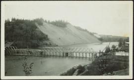
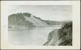
Rutherford, MabelPhotograph depicts bridge over Nechako River. Sloped cutbanks on opposite shore in background. Buildings and railroad tracks can be seen on town shore in right foreground.
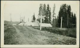
Photograph depicts railway crossing in front of tent buildings. Dirt road in foreground, forest trees in background. Photograph speculated to have been taken in a construction camp at Prince George.
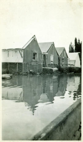
Photograph depicts lane in front of tent buildings flooded with water, forest trees in background. Photograph taken from canoe, portion of canoe visible in foreground. It is believed that this photograph may depict the Island Cache in flood, at Prince George, BC.
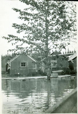
Photograph depicts lane in front of tent buildings flooded with water. Tree in midground, forest trees in background. A man can be seen between first and second row of tent buildings. Photograph taken from canoe, portion of canoe visible in right foreground. It is believed that this photograph may depict the Island Cache in flood, at Prince George, BC.
Photograph depicts bridge over Nechako River. Sloped cutbanks on opposite shore in background. Railroad tracks can be seen on town shore in right foreground. Handwritten annotation on verso of photograph: "NECHAKO RIVER NEAR PRINCE GEORGE B.C. N.H.D."
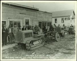
Handwritten annotation on verso of photograph: "PRINCE GEORGE B.C. FARMERS TAKING DELIVERY OF CATERPILLAR TRACTORS." Bob sits on first tractor in line of three. Fifteen men stand in a line against street buildings. "THE SALVATION ARMY" building stands in background on right. This photograph was taken at the corner of 4th and George St.
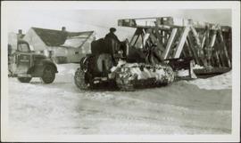
Photograph depicts man believed to be Bob Baxter on bulldozer by large framework structure in snow. House stands in background as well as a truck with "CITY OF PRINCE GEORGE" visible on its passenger door. Handwritten annotation on recto of photograph: "Civic centre 1948."
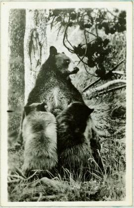
Handwritten caption below this photo reads: "Bought in Picture Prince George". Photograph depicts a mother grizzly bear standing on her hind legs against tree, so that her facial profile is visible. Two cubs stand on hind legs facing and leaning against her.
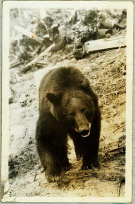
Handwritten caption below this photo reads: "Bought in Picture Prince George". Photograph depicts a grizzly bear walking on all fours in forest area, slash debris in background.
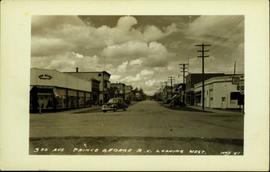
Postcard image depicts streetview looking west along 3rd Ave in Prince George, B.C. Storefronts and period automobiles are visible. Handwritten annotation on photographic negative, now visible along bottom of print image reads: "3rd Ave, Prince George B.C. Looking West. HND 41".
