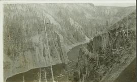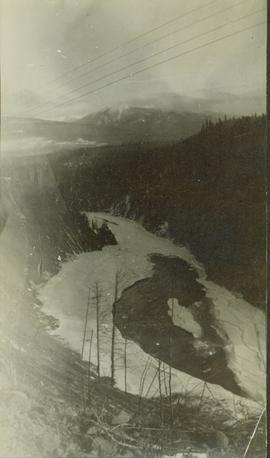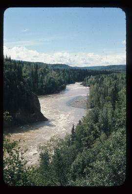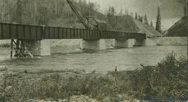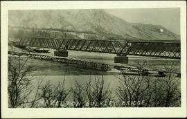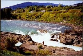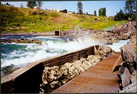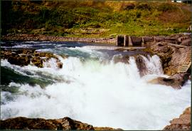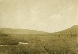
2014.10.1.316
·
Item
·
1913
Part of Arthur Holland Land Surveying Collection
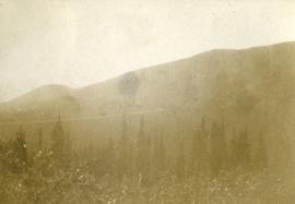
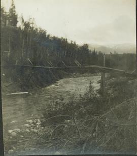
Photograph depicts dense undergrowth near the Bulkley River, mountains in the distance.