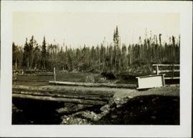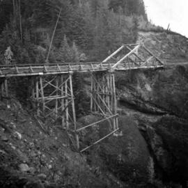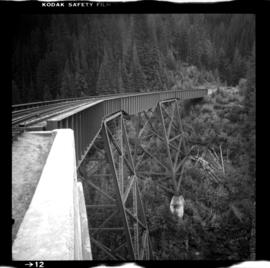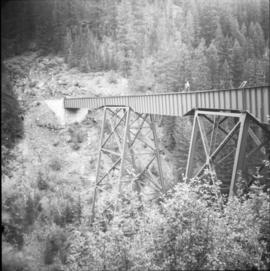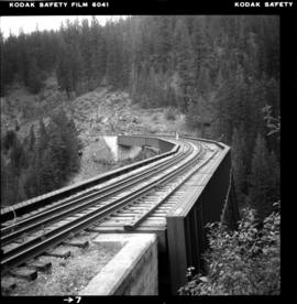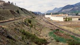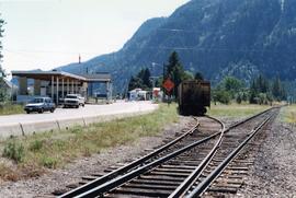
2013.6.36.1.054.24
·
Item
·
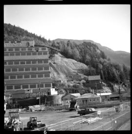
30 Sept. 1975
Part of David Davies Railway Collection
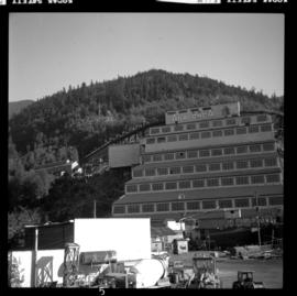
Photograph depicts a concentrator mill. The mine was closed for good on November 1, 1974. An auction of all residual equipment took place in August 1975. B.C. Museum of Mining is located mid-right of the photo.