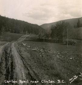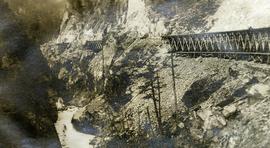
2020.08.73
·
Item
·
[between 1913 and 1919]
Part of Pacific Great Eastern Railway Region Photograph Collection
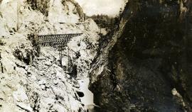
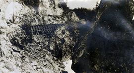
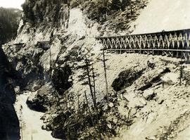
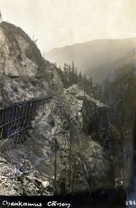
Photograph depicts a Pacific Great Eastern Railway wooden trestle in Cheakamus Canyon.