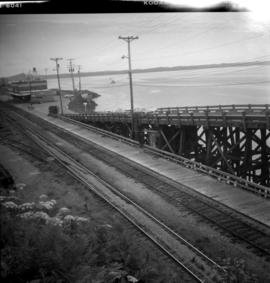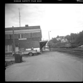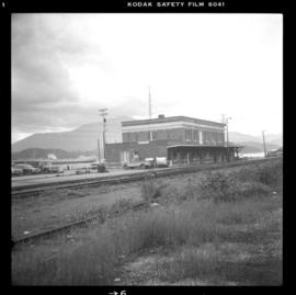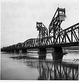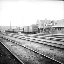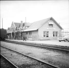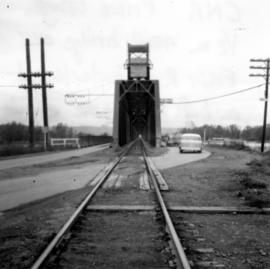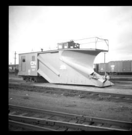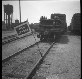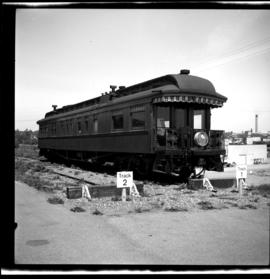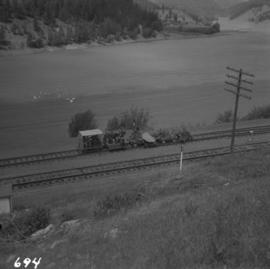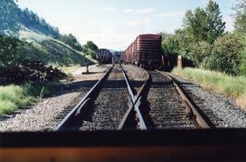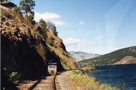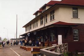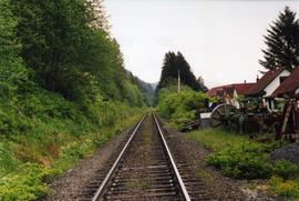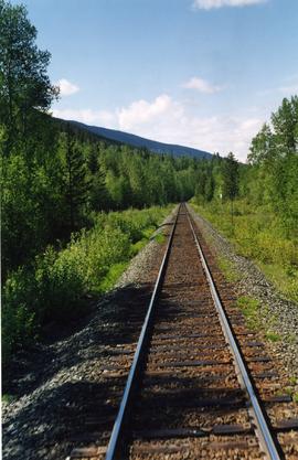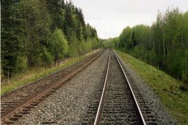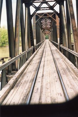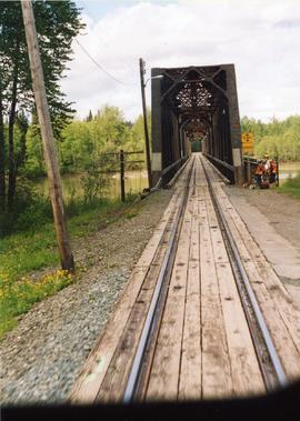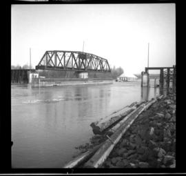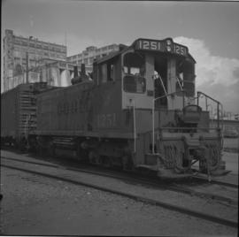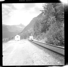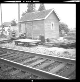
2013.6.36.1.041.06
·
Item
·
[7 July 1980]
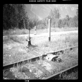
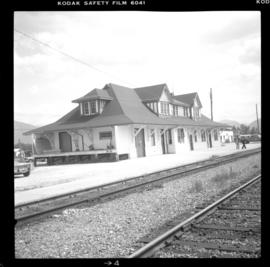
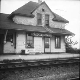
Part of David Davies Railway Collection
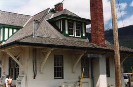
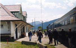
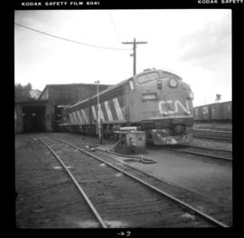
Photograph depicts a roundhouse locomotive.