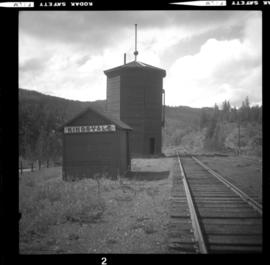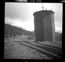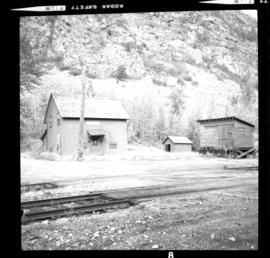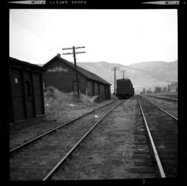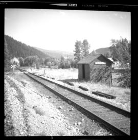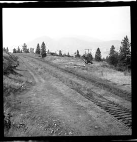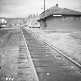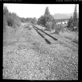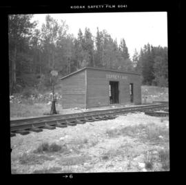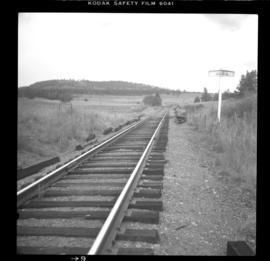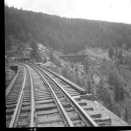
2013.6.36.1.018.02
·
Item
·
Sept. 1984
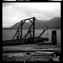
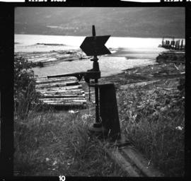
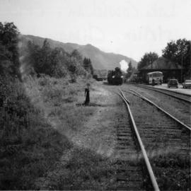
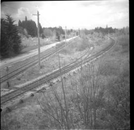
Part of David Davies Railway Collection
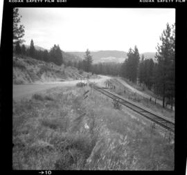
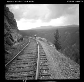
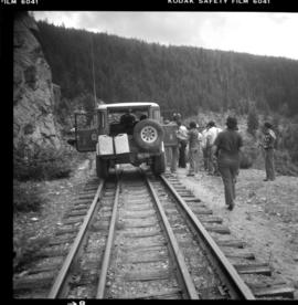
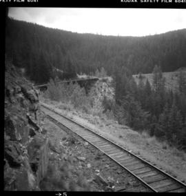
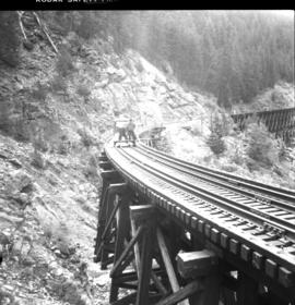
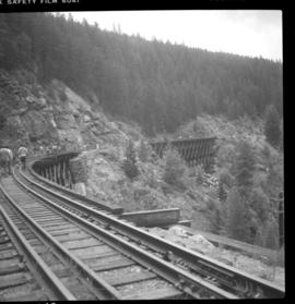
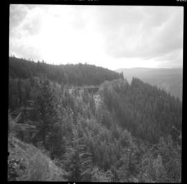
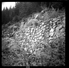
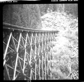
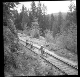
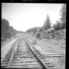
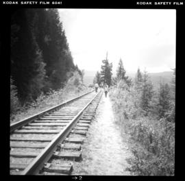
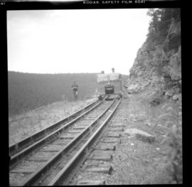
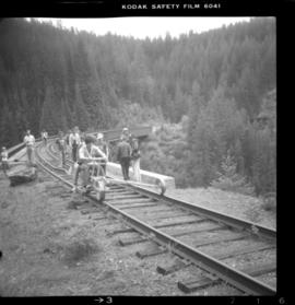
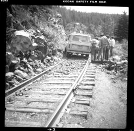
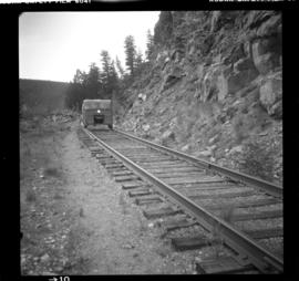
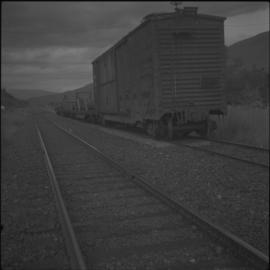
Photograph depicts the CPR line at Mara, which is at mile 12.6 on the Okanagan Subdivision of the CPR. Sicamous is considered mile 0 and Vernon is considered mile 46.2. The siding has capacity for 57 cars. The view is just south of Mara Lake and looking north.