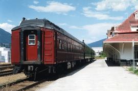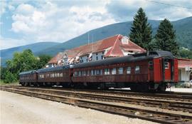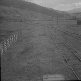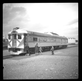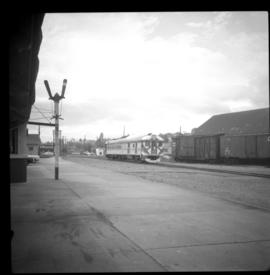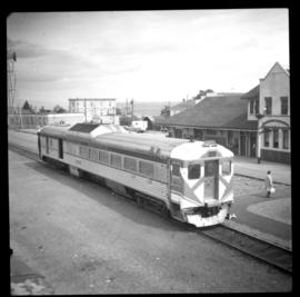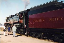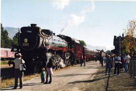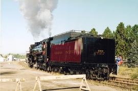
2013.6.36.1.012.11
·
Item
·
[between 1964 and 1966]
Part of David Davies Railway Collection
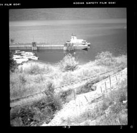
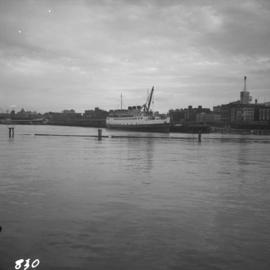
Photograph depicts a CPR ship named "Princess Elaine" at the pier opposite the CPR station in Vancouver. The ship was being stripped of its engines and was subsequently towed to Blaine, WA.