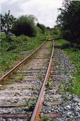
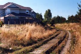
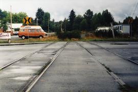
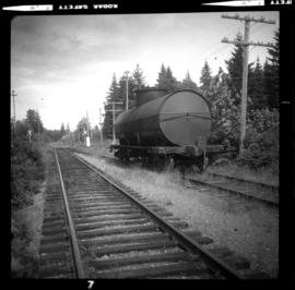
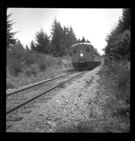
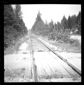
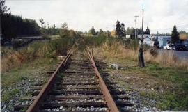
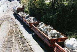
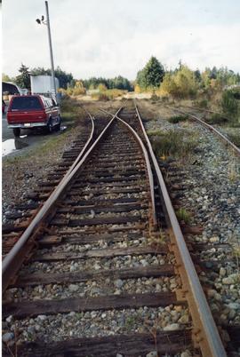
Transportation and Utilities

Elements area

Taxonomy

Code

Scope note(s)

  • Act of means of transporting from one place to another

  • Act of means of providing water, power, sewage, etc. to communities

  • Facilities and infrastructures (eg. harbours, highways, airports, hydroelectric projects)

  • Vehicles, rolling stock, aircraft, equipment, ships and boats, ferries

  • Accidents (eg. highway crashes, derailments, air crashes, ship wrecks)

  • Rescue services (eg. towing, coast guard)

  • Businesses and corporations (eg. motor associations)

  • Professional organizations and unions

  • SEE ALSO: Agriculture; Business and Commerce; Industries; Military

Source note(s)

  • MemoryBC Subject Groups

Display note(s)

    Hierarchical terms

    Transportation and Utilities

      Equivalent terms

      Transportation and Utilities

        Associated terms

        Transportation and Utilities

          4835 Archival description results for Transportation and Utilities

          4835 results directly related Exclude narrower terms
          2013.6.36.1.033.48 · Item · Aug. 1985
          Part of David Davies Railway Collection

          Photo is taken about half a mile south of Duncan's station on mile 39.2. The image captures the 'Antique' bridge on Cowichan River. It is possibly made out of wrought iron. It is made by Phoenix Iron Company, Philadelphia.

          2013.6.36.1.140.03 · Item · Sept. 2001
          Part of David Davies Railway Collection

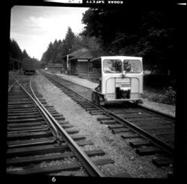
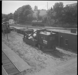
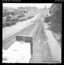
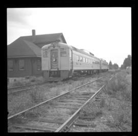
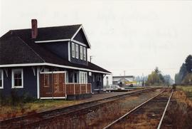
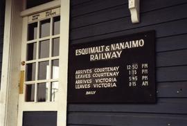
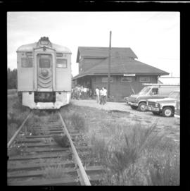
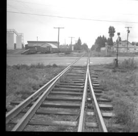
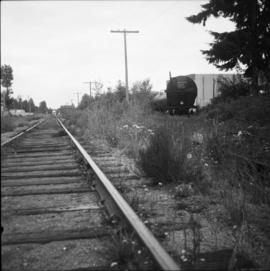
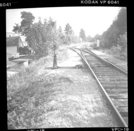
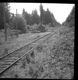
          Photograph depicts Esquimalt & Nanaimo Railway trackage in Courtenay. In another 200 yards, it was the northerly point the railway ever reached. Both lines were not in use north of the Courtenay station. The line on the left was the main one, while the one on the right was an industrial spur or siding.

          2013.6.36.1.033.50 · Item · Aug. 1985
          Part of David Davies Railway Collection

          Photograph depicts the Cobble Hill station on mile 31.2. Image captured looking north west. Siding has the capacity for 26 cars and was being used for storage. The northbound daily pass train is expected at 9:15 a.m. and the southbound is expected at 16:41 p.m.

          2013.6.36.1.033.41 · Item · Aug. 1985
          Part of David Davies Railway Collection

          Photograph depicts the passenger depot that is to the north. Siding (with 22 cars) lies south and at a short distance. Image captured is looking towards the south at the beginning of the siding. Photograph taken at mile 50.0.

          2013.6.36.1.034.20 · Item · [23 July 1982]
          Part of David Davies Railway Collection

          Photograph taken where the Island Highway in Bowser crosses the Esquimalt & Nanaimo Railway at approximately mile 115. A brush cutter had just passed over the grade crossing and was just behind the camera.

          2013.6.36.1.140.23 · Item · Oct. 2005
          Part of David Davies Railway Collection

          Photograph depicts the Esquimalt & Nanaimo Railway Alberni branch line, one mile east of the former Cameron Lake station. At this point, Highway 4 and rails "touch" each other for about 100 yards, but it was hardly noticable in those days because of bush growth.

          2013.6.36.1.136.18 · Item · [19 May 2007]
          Part of David Davies Railway Collection

          Photograph taken on the Esquimalt & Nanaimo Railway main line out of Port Alberni with run-around siding over the right out of sight. Yard is found towards the rear. On the left, there was private trackage of the Nordeske paper mill that was in daily use until December 31, 2001 when Rail America stopped runnning freights because the mill went to road transport.