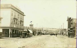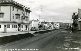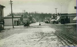
2011.12.02
·
Item
·
ca. 1950
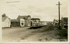
Part of Giscome, BC Historical Photograph collection
Photo depicts a street perspective of George St., in Prince George, BC, ca. 1950. Annotation recto reads: "George St. Prince George BC Photo by J Wrathall." Handwritten annotation in pen on verso of postcard reads: “This is the Hastings Street of Prince George. This & 3rd Streets are the main thoroughfares.”