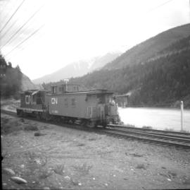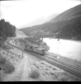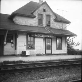
2013.6.36.1.037.15
·
Item
·
[1 Sept. 1981]
Part of David Davies Railway Collection
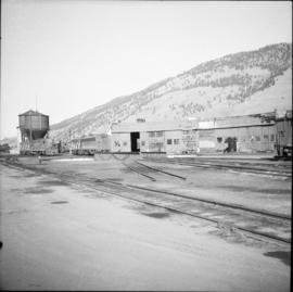
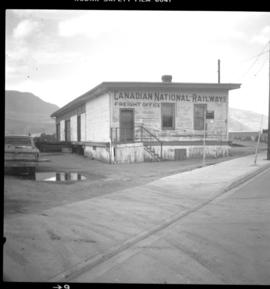
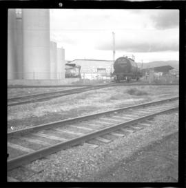
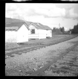
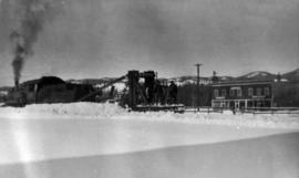
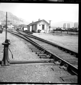
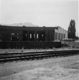
Photo captures the Kamloops roundhouse built in 1929 that was occupied by 2 locomotives.